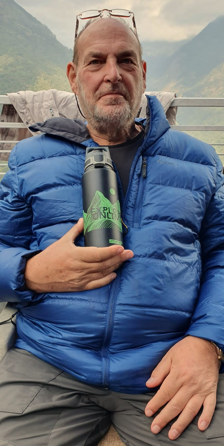
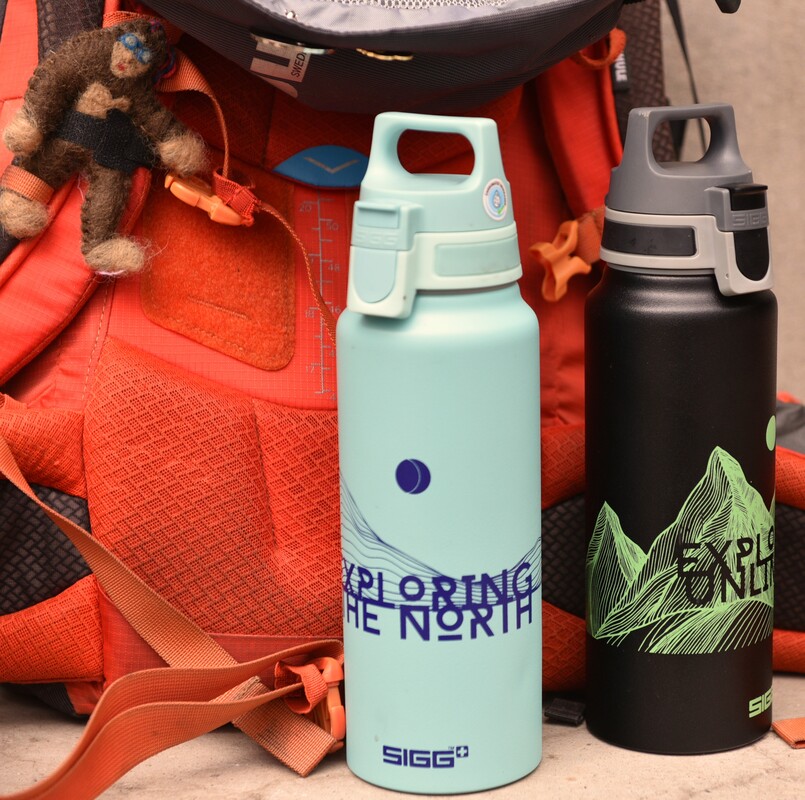
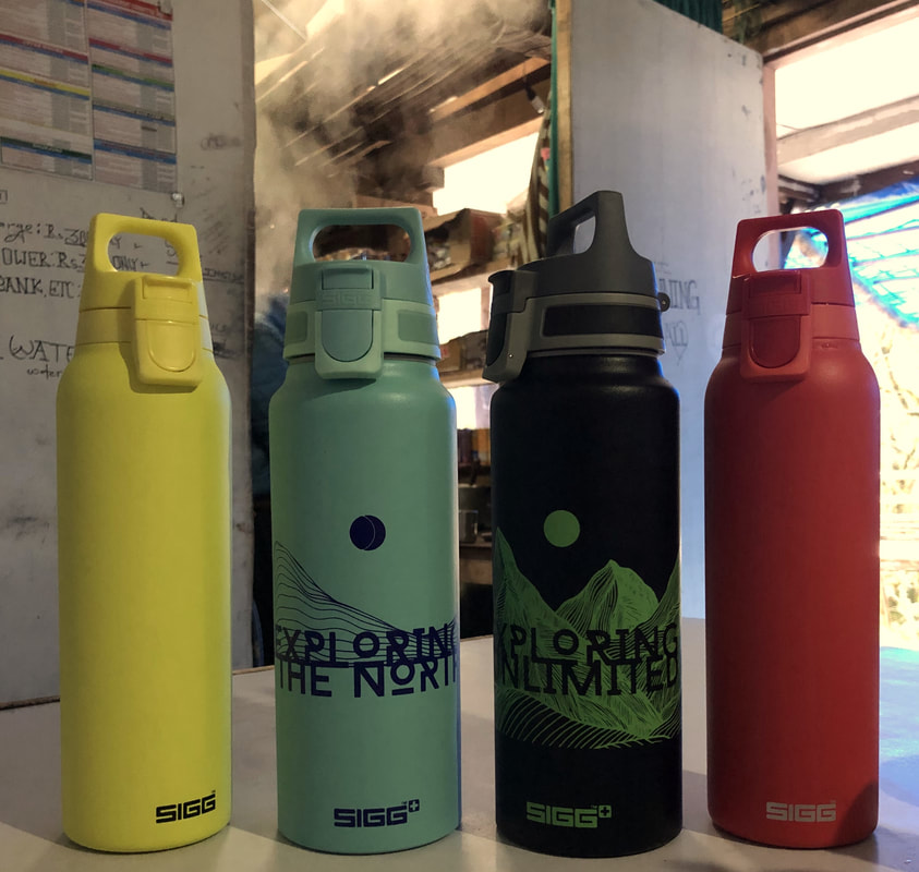
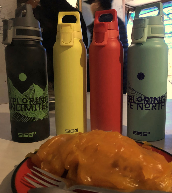
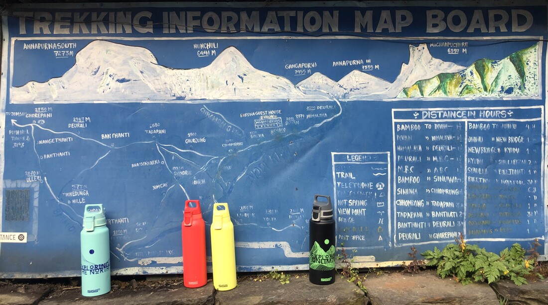
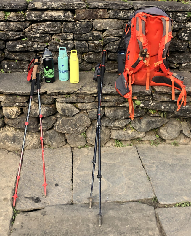
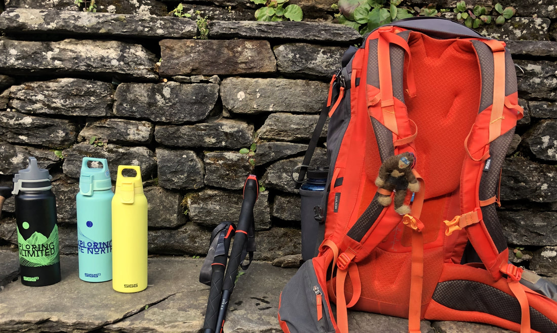
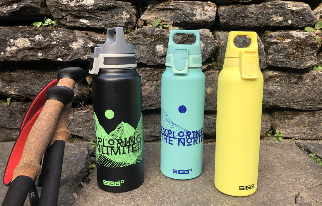
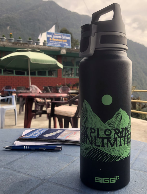
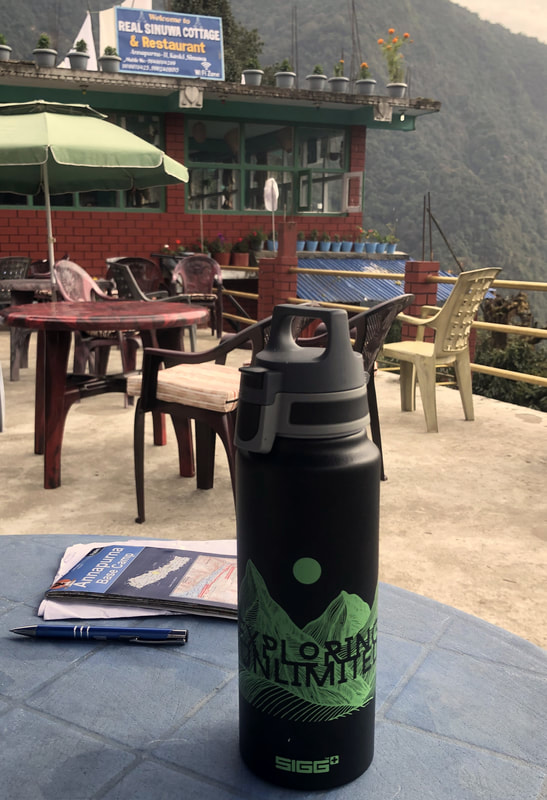
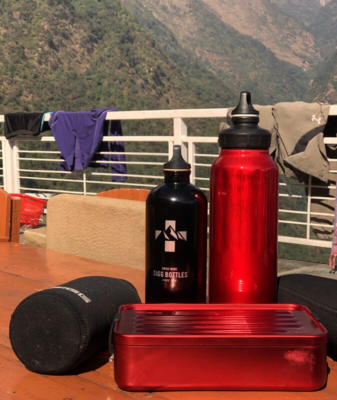
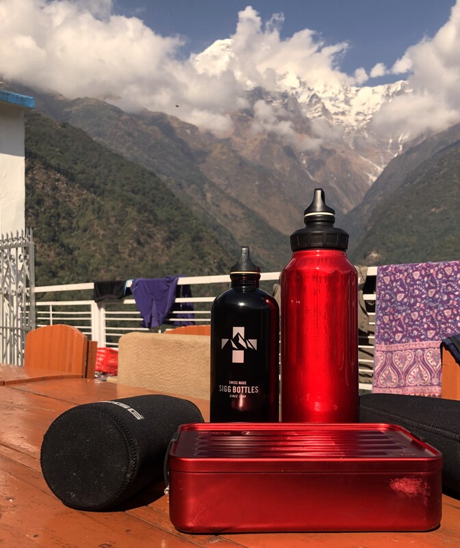
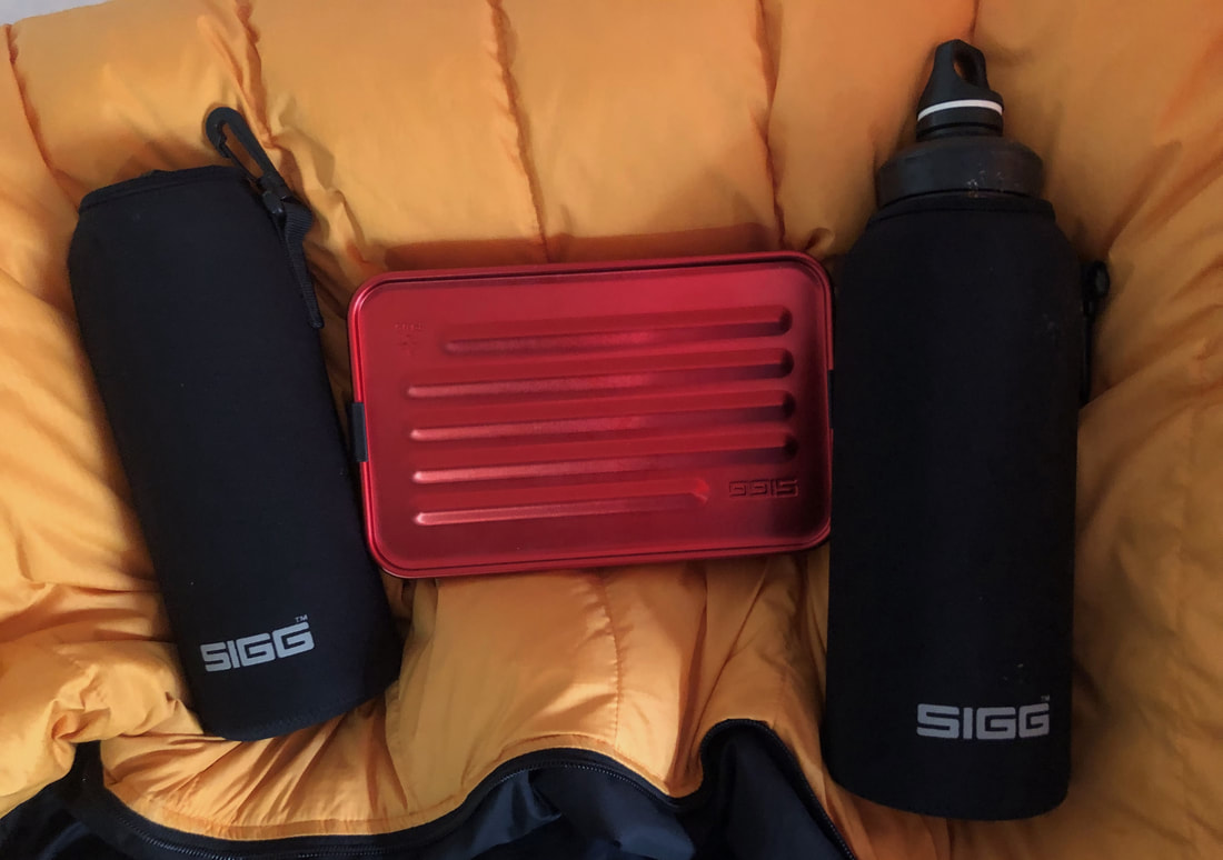
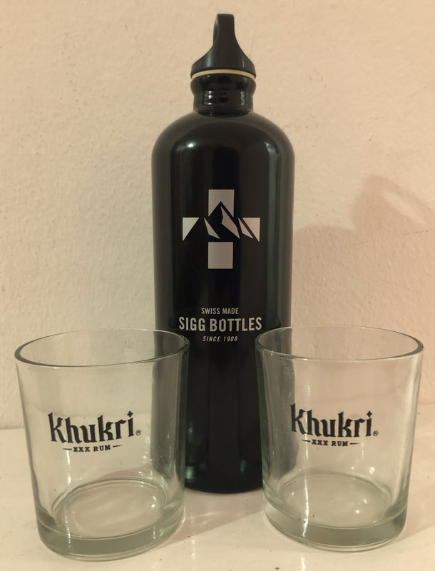
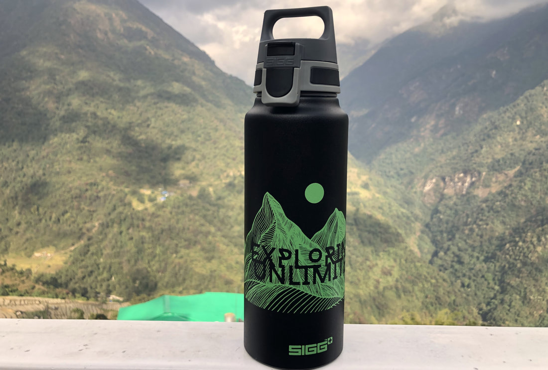
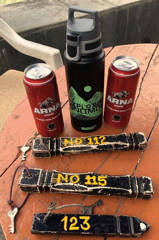
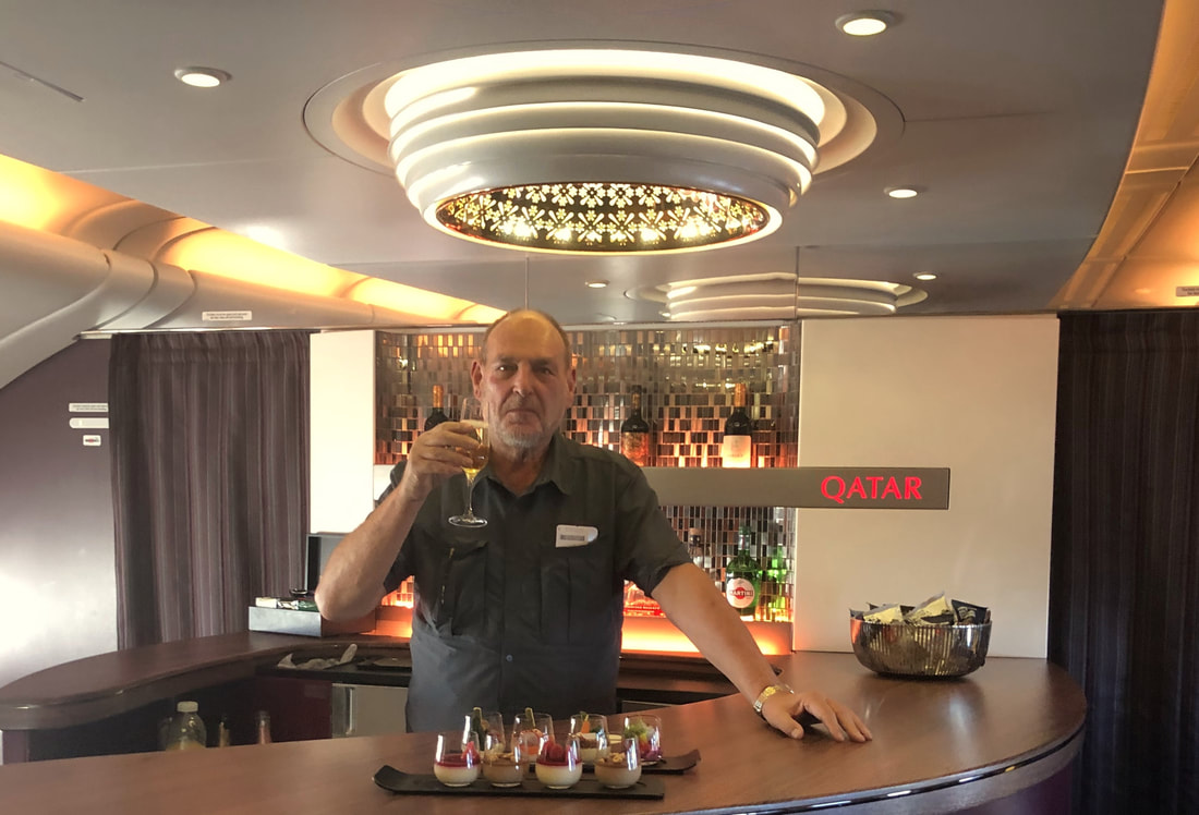
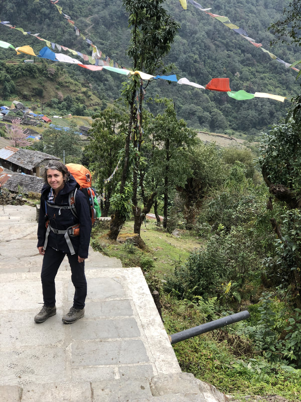
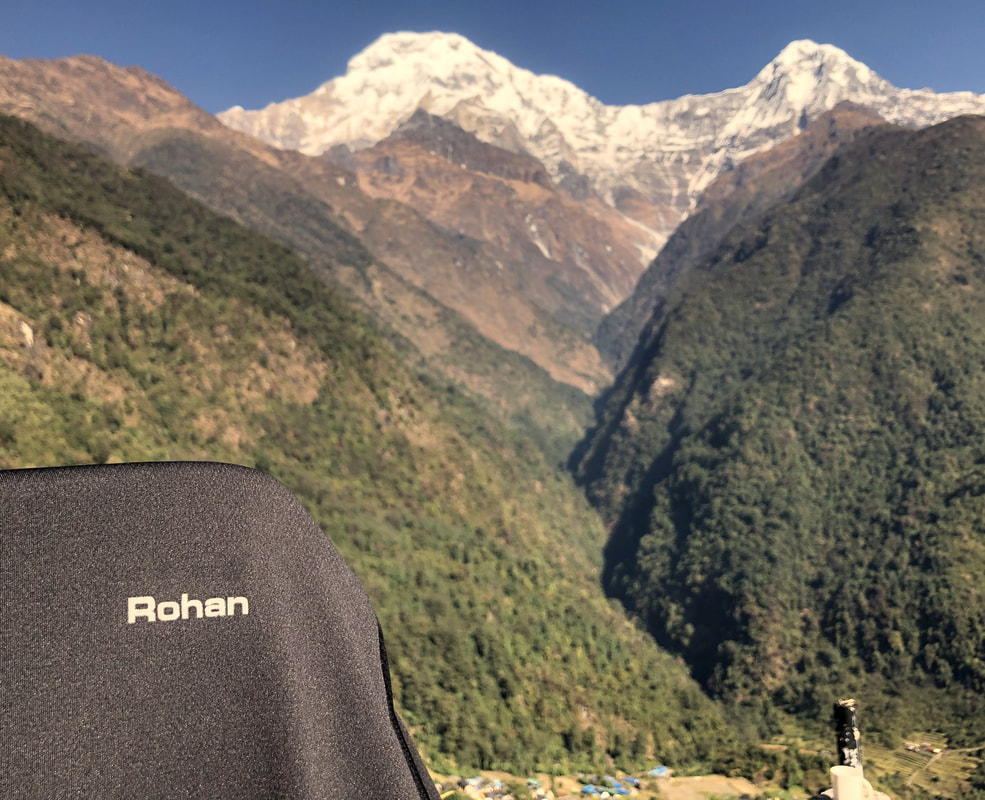
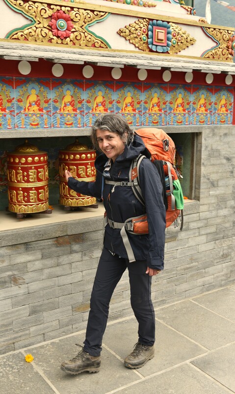
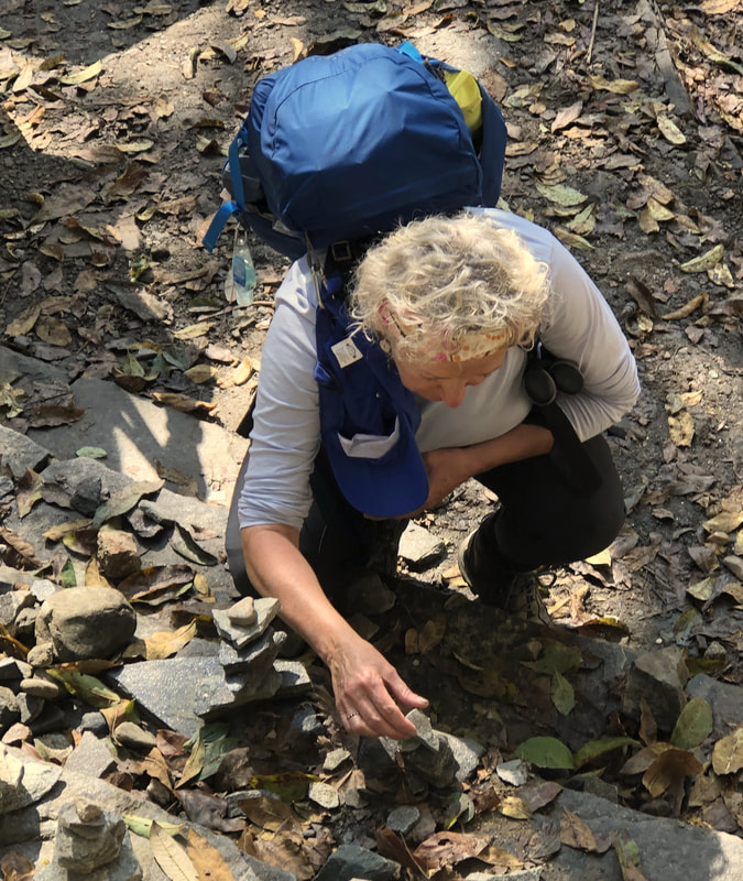
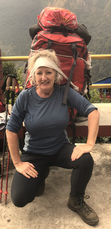
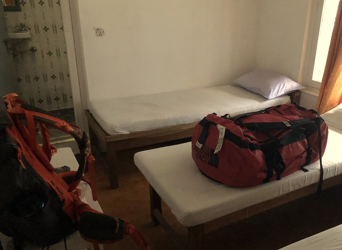
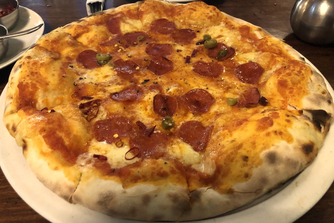
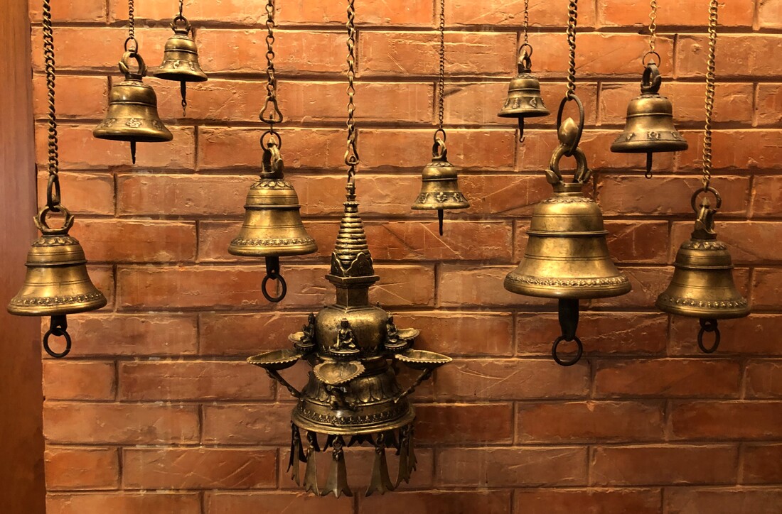
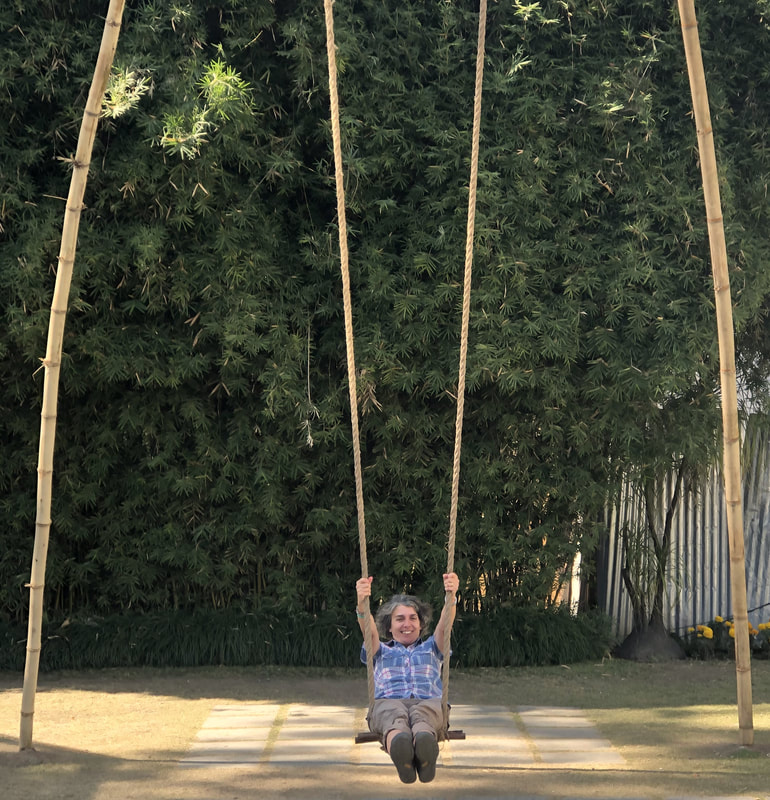
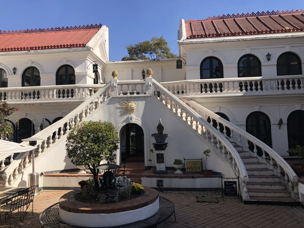
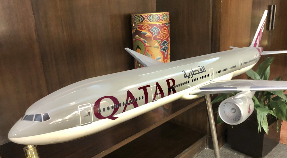
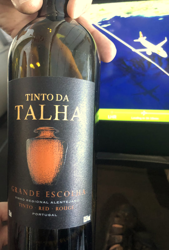
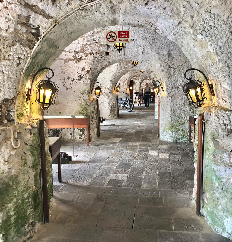
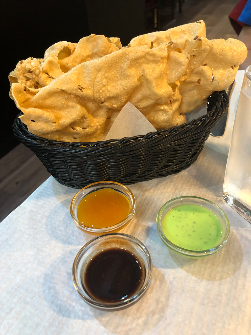
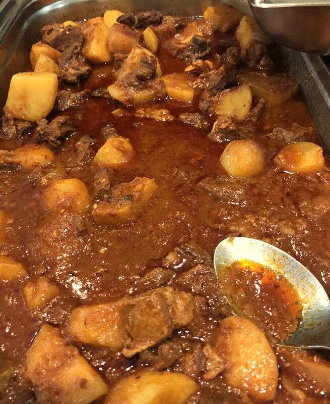
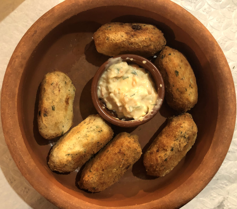
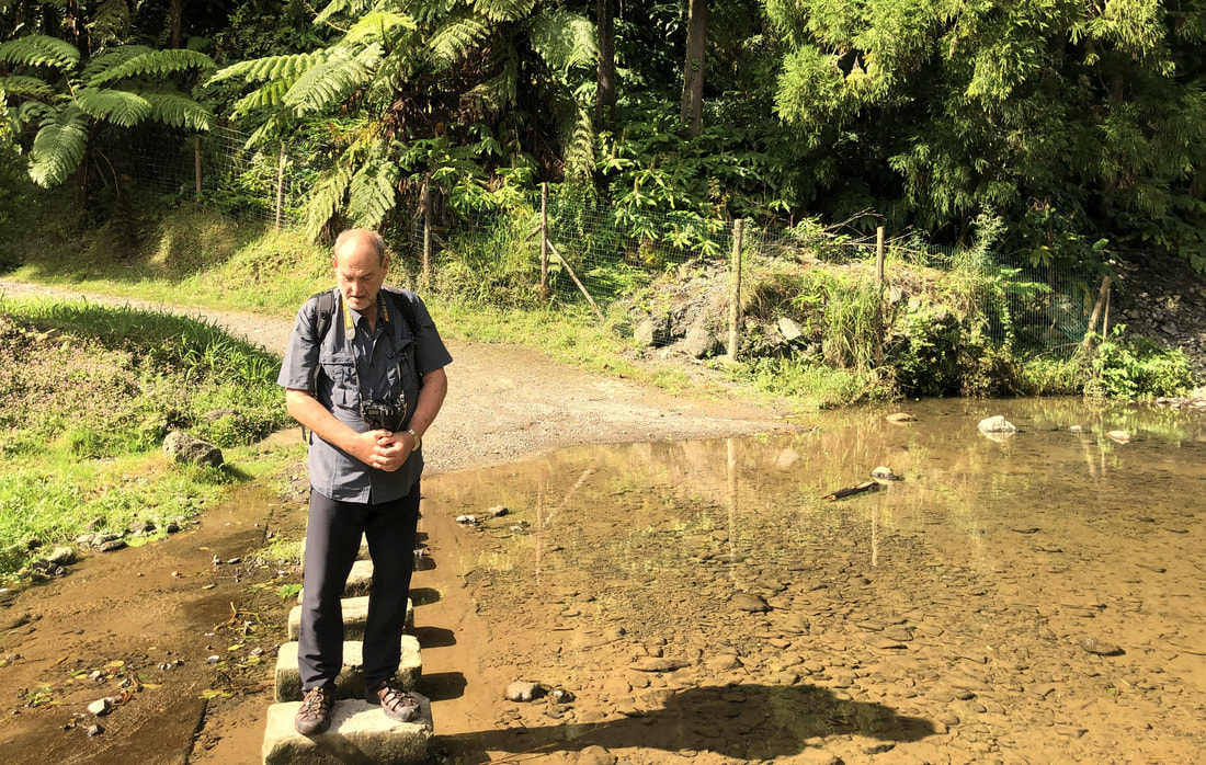
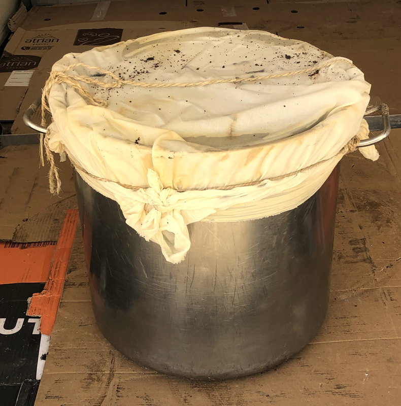
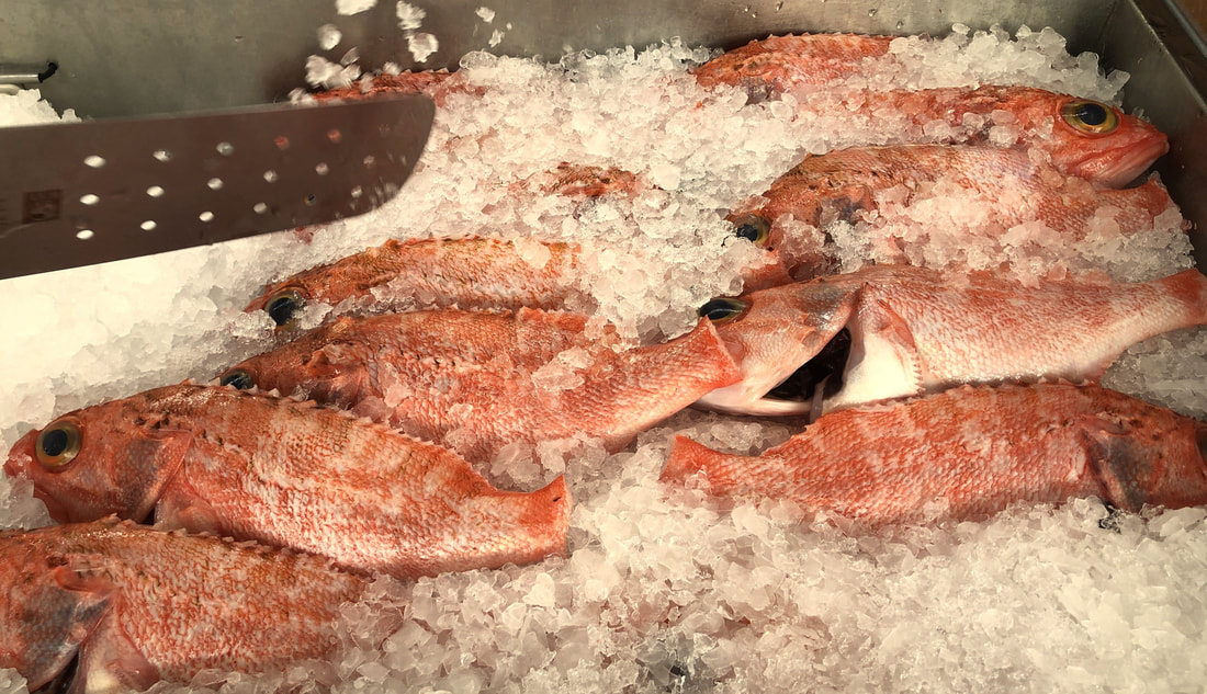
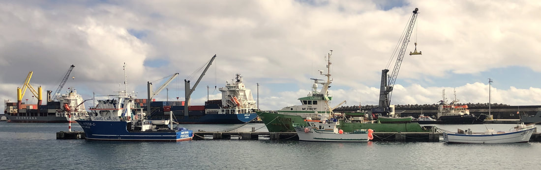
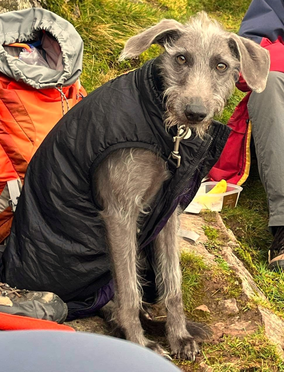
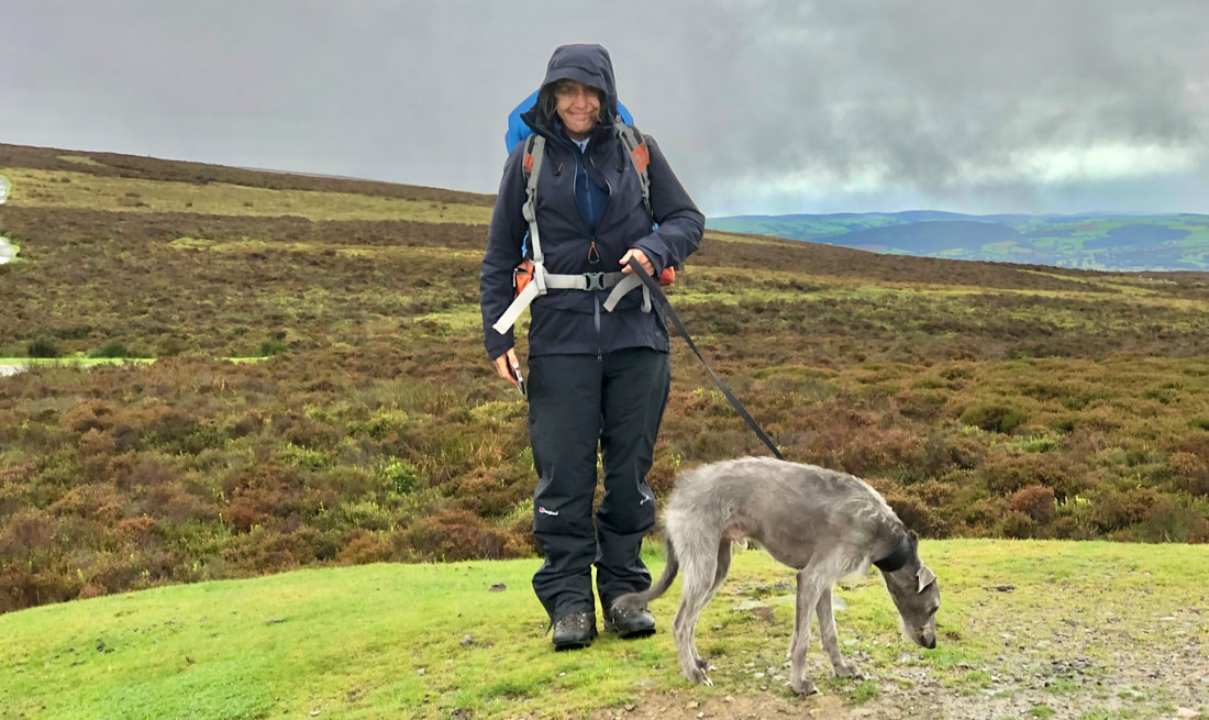
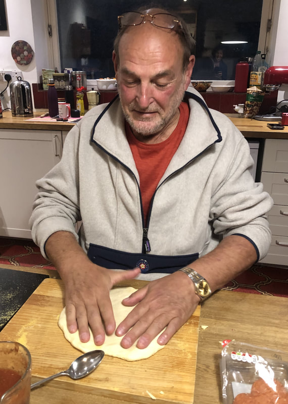
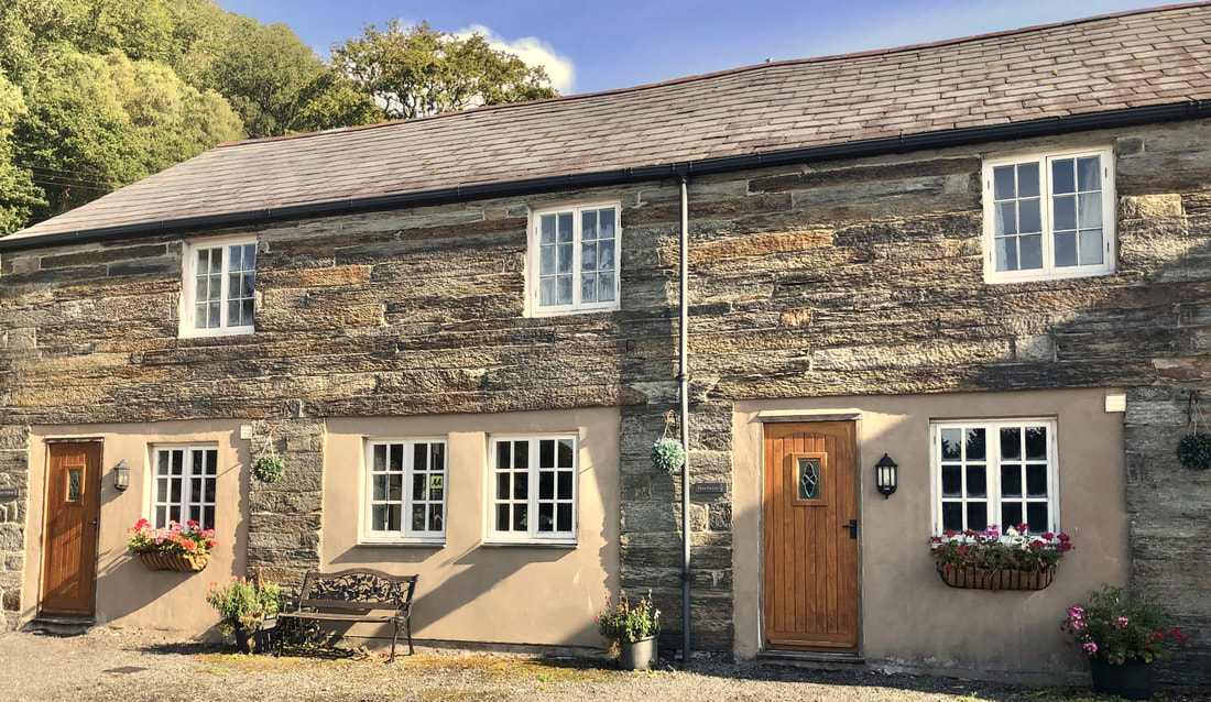
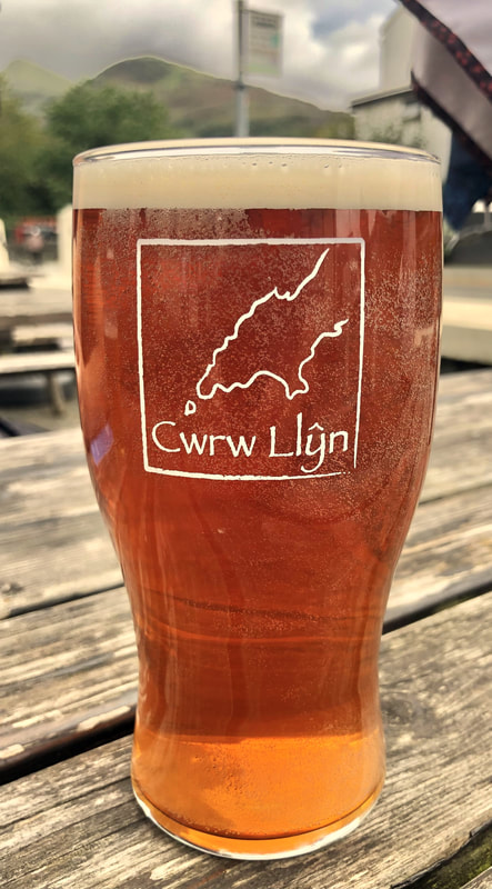
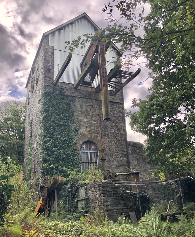
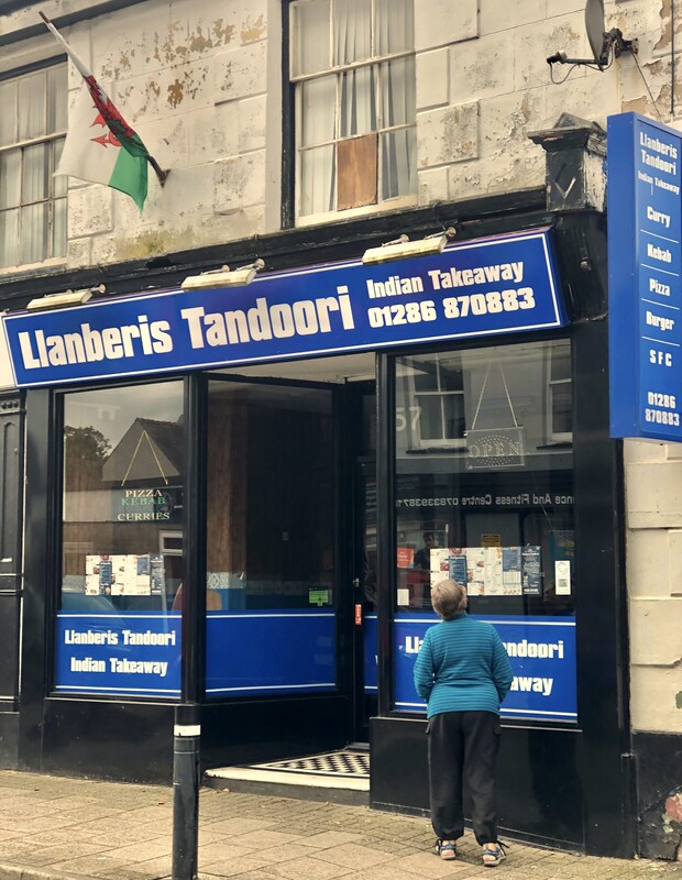
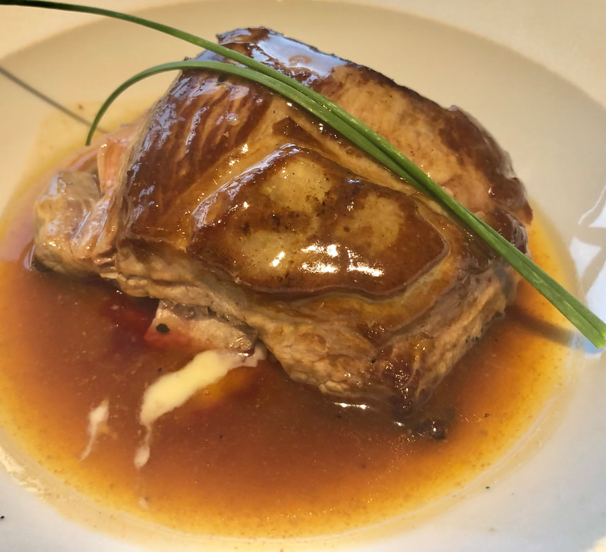
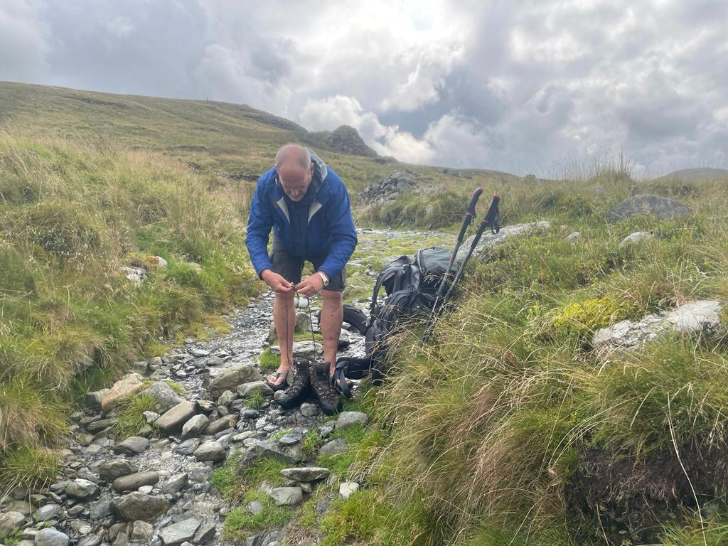
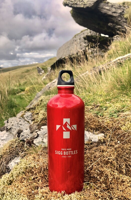
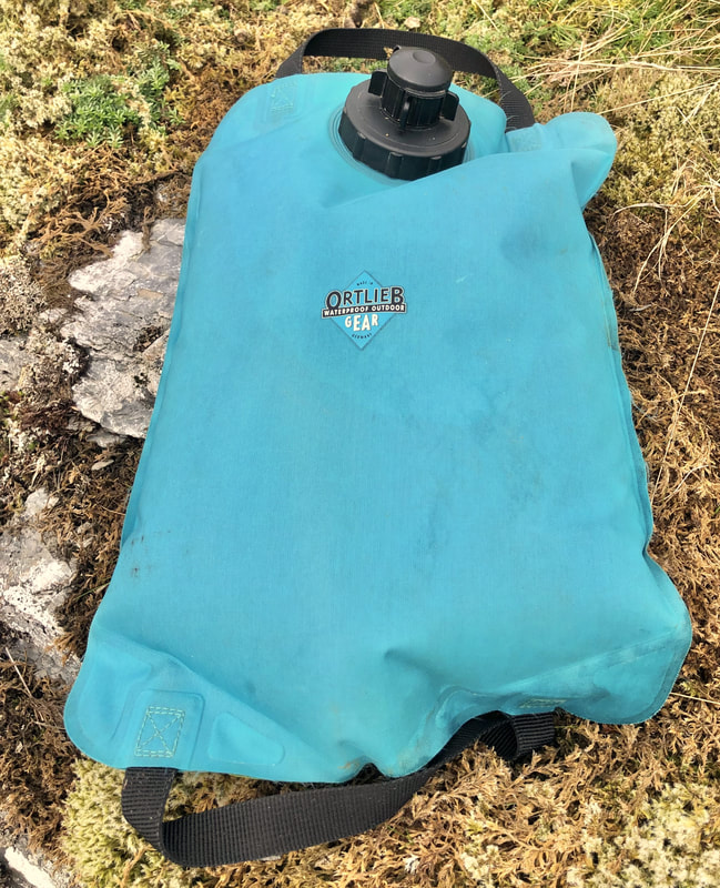
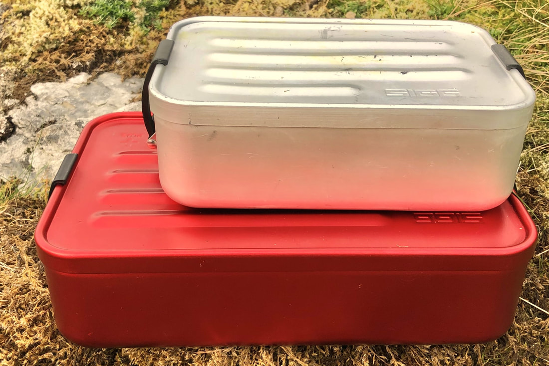
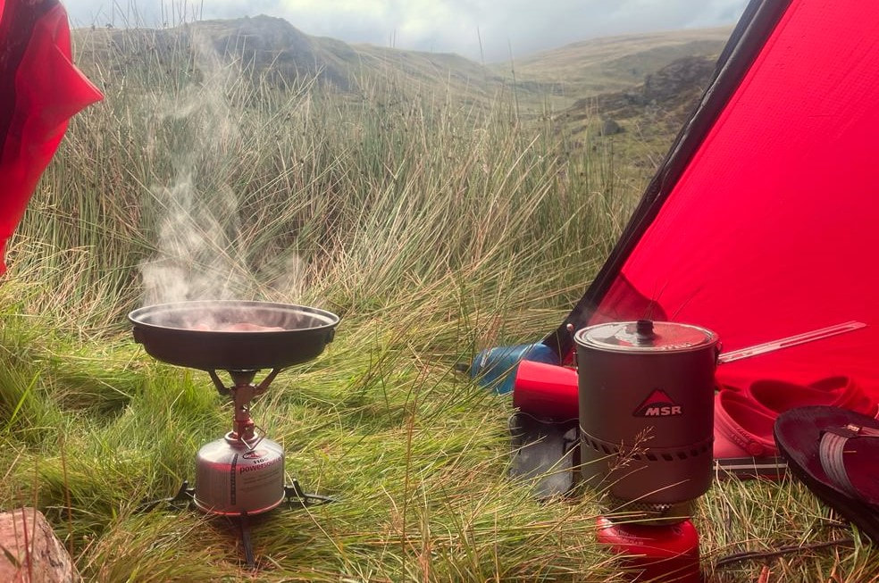
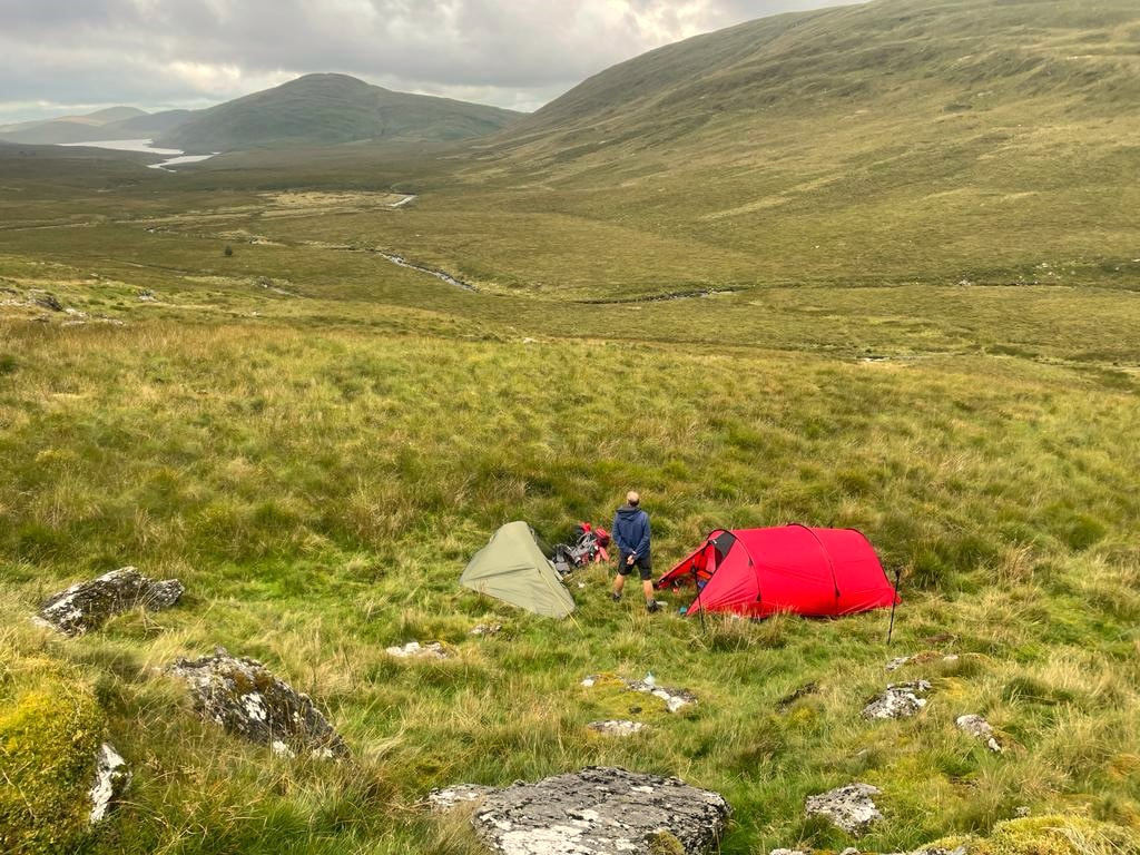
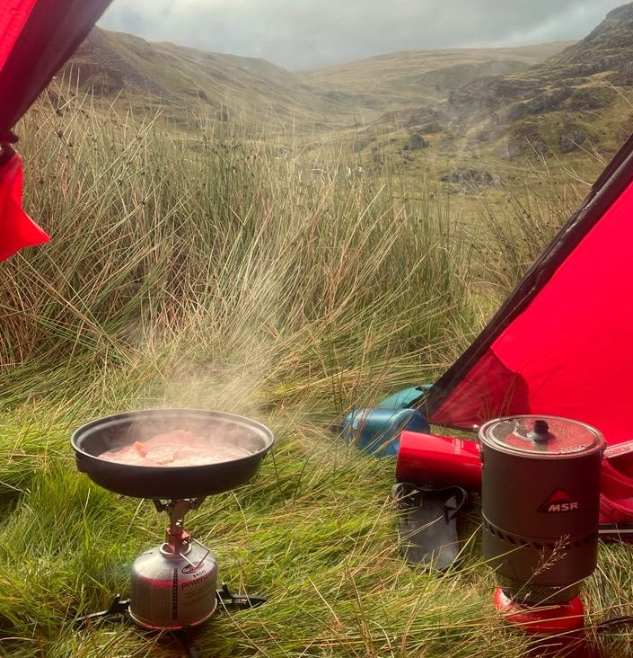
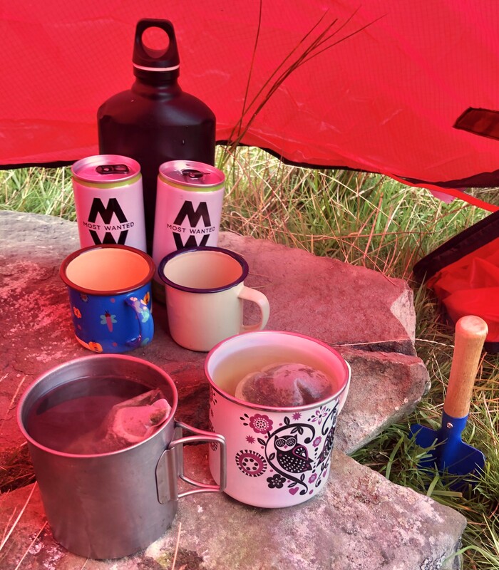
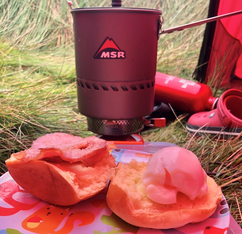
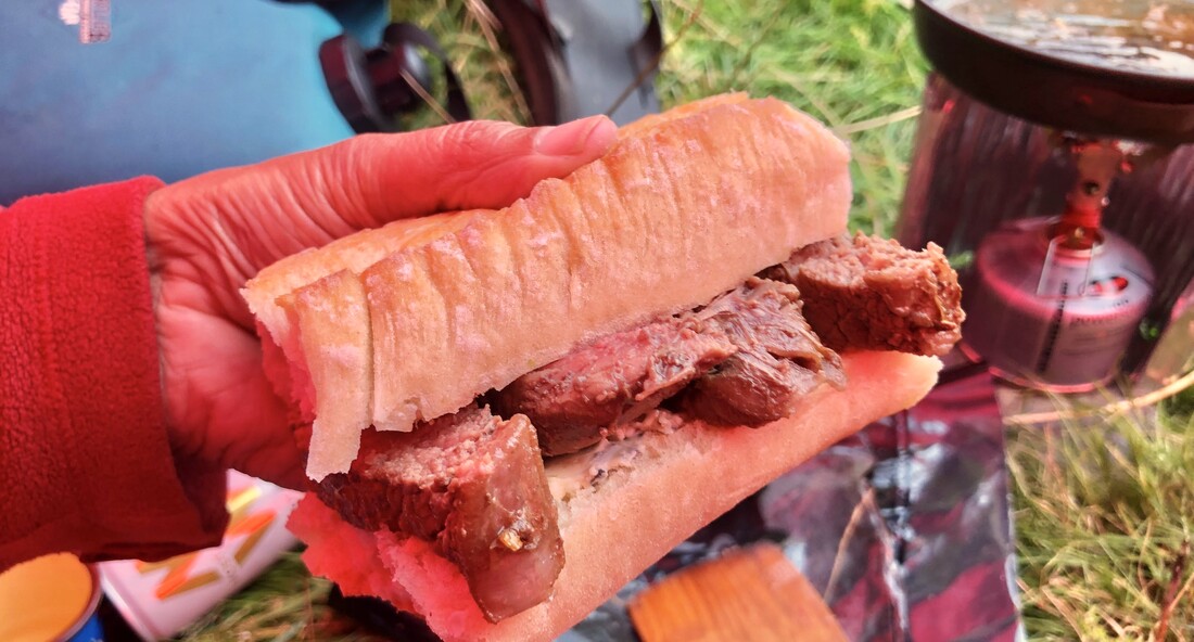
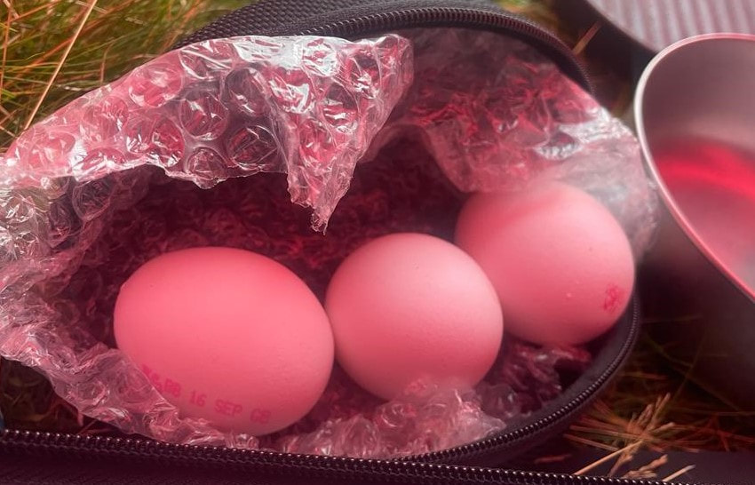
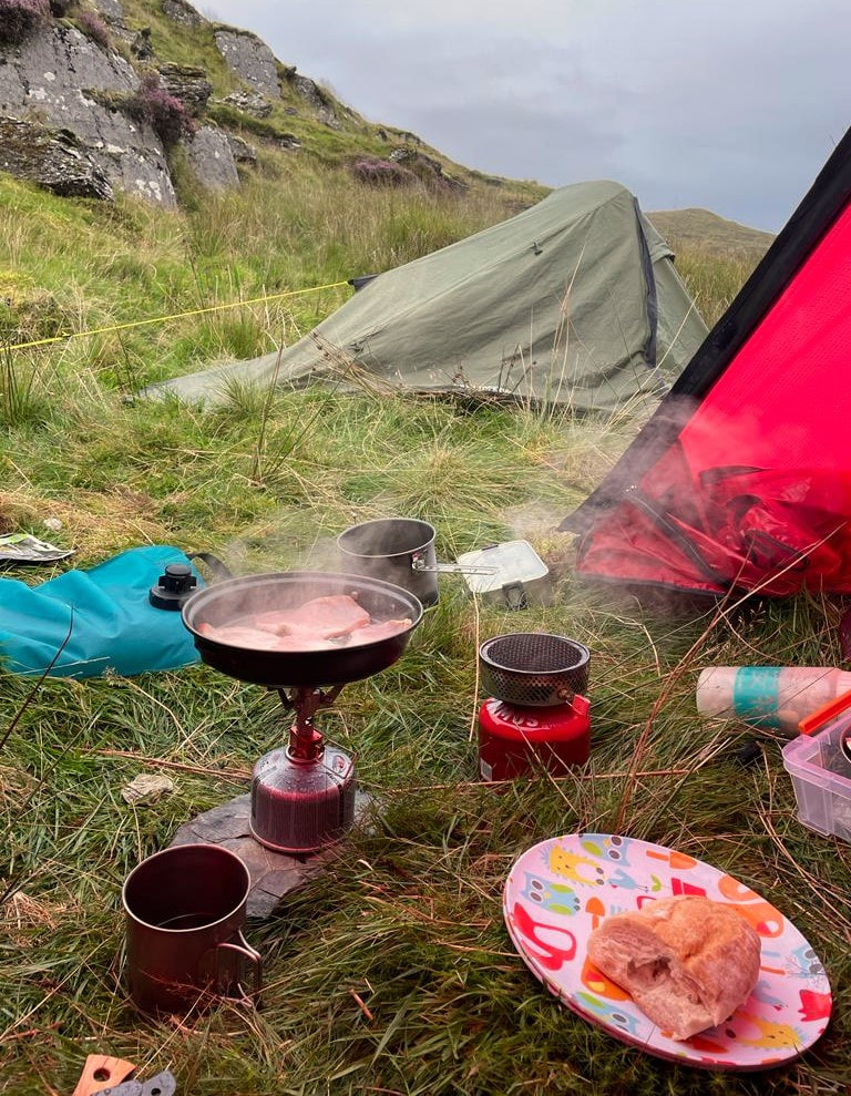
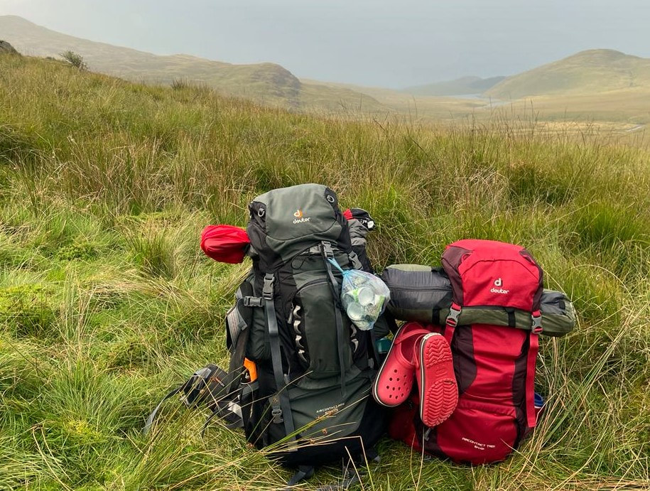
 HELEN MENHINICK (BRYN WALKING) AND I HAVE RECENTLY RETURNED FROM AN ANNAPURNA BASE CAMP TREK IN NEPAL. WE RELIED ON sigg products THROUGHOUT THE TRIP - THIS IS A BRIEF REVIEW OF WHAT WE USED, and includes what other participants used.I've been using SIGG products for many years in support of my overseas travel which often involves high altitude trek and expedition activities. I recommend SIGG bottles particularly and, from experience on such activities, hygiene amongst participants is sometimes better than using hydration systems as trekkers often fail to keep their bite valves clean. And many trekkers just love having a hot water bottle at night which SIGG bottles can help with. I usually advise taking a couple of spare washers as these can be lost when are Sherpa crew are filling many water bottles after dinner, for the following day. Sadly, a couple of my favourite items are no longer in production but these can be seen after the main gallery which follows. Annapurna base camp trek: sigg galleryThe only negative comment about any of these products is that the zips on the pouches don't appear to be that strong and at least one of mine has broken, making the zip harder to use. my favourite sigg products, sadly no longer in production.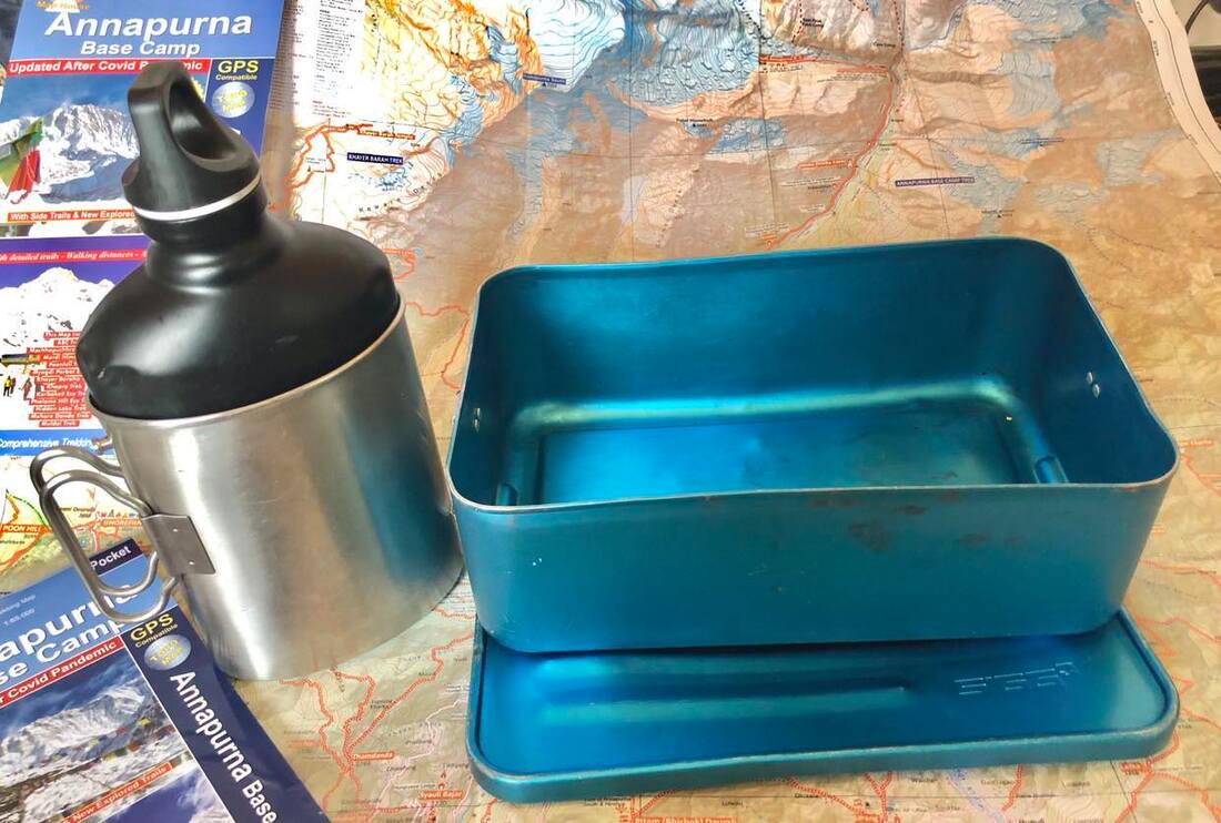 The best ever hip flask came with a mug and the old style lunch box was huge and very versatile and, in my opinion, better than the latest style with plastic inserts.
Note for SIGG UK: if you've got any of these old style products loitering in the back of the warehouse then a couple of each would be warmly welcomed for my worldwide treks and expeditions.
0 Comments
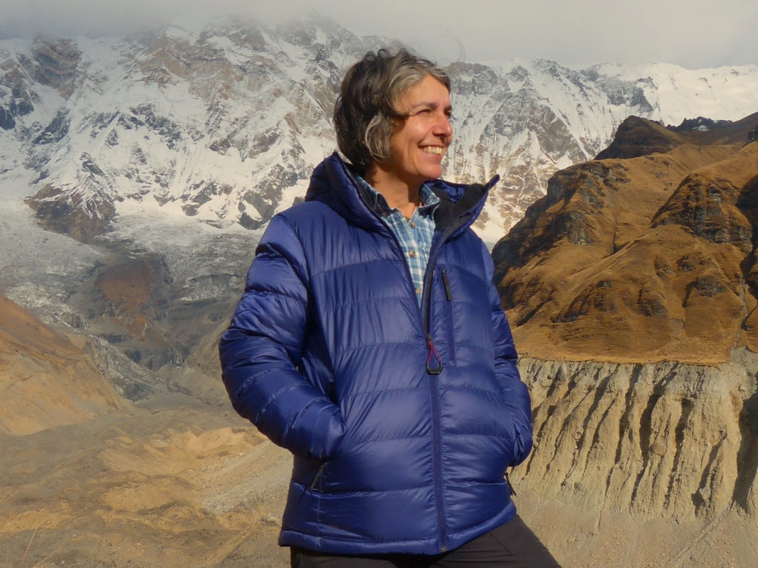
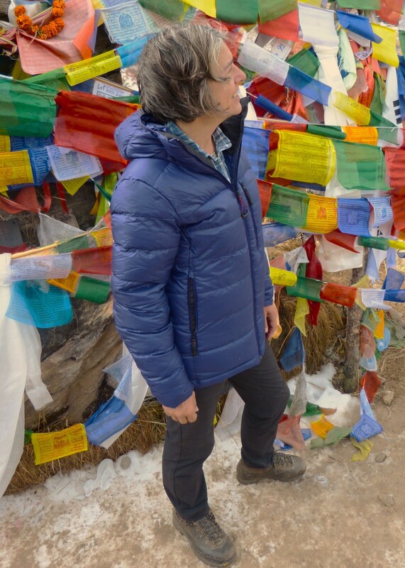
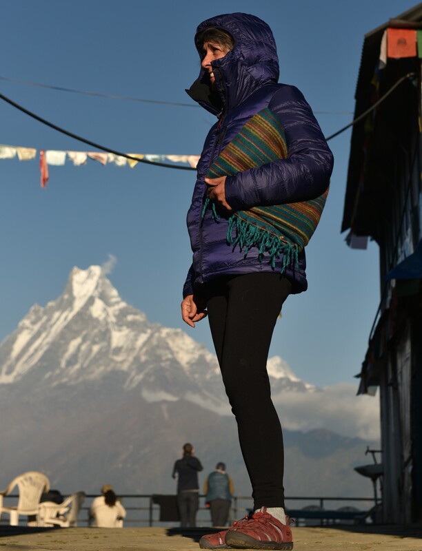
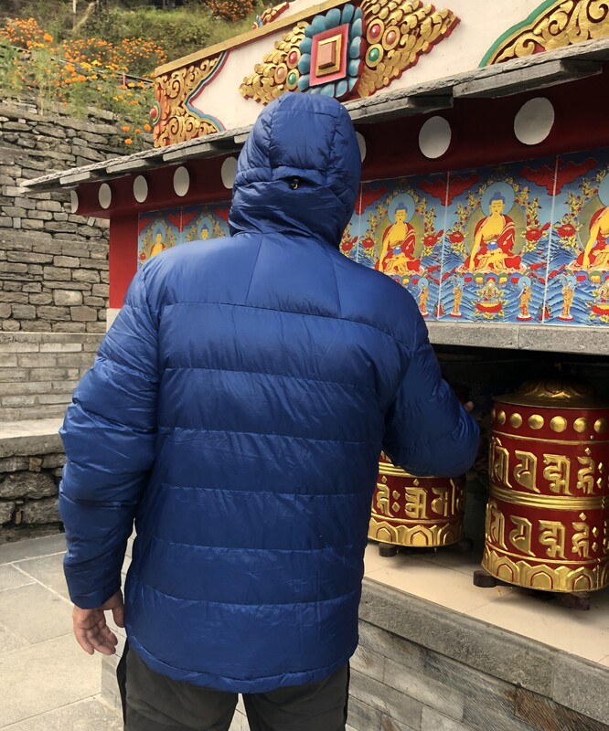
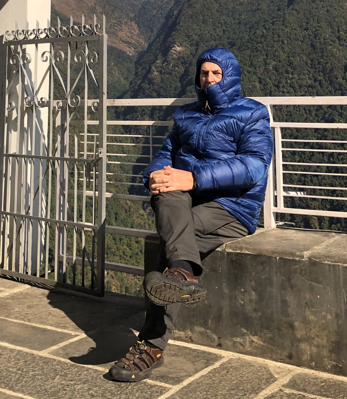
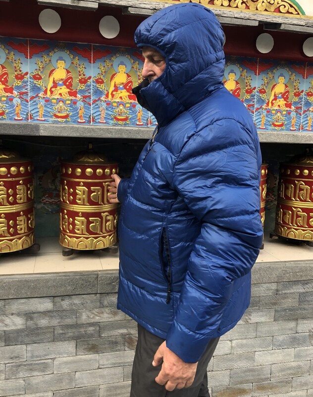
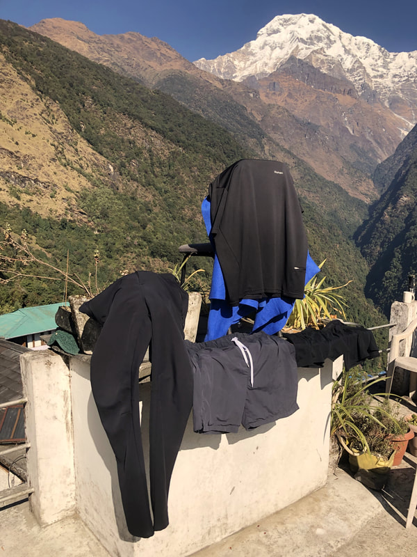
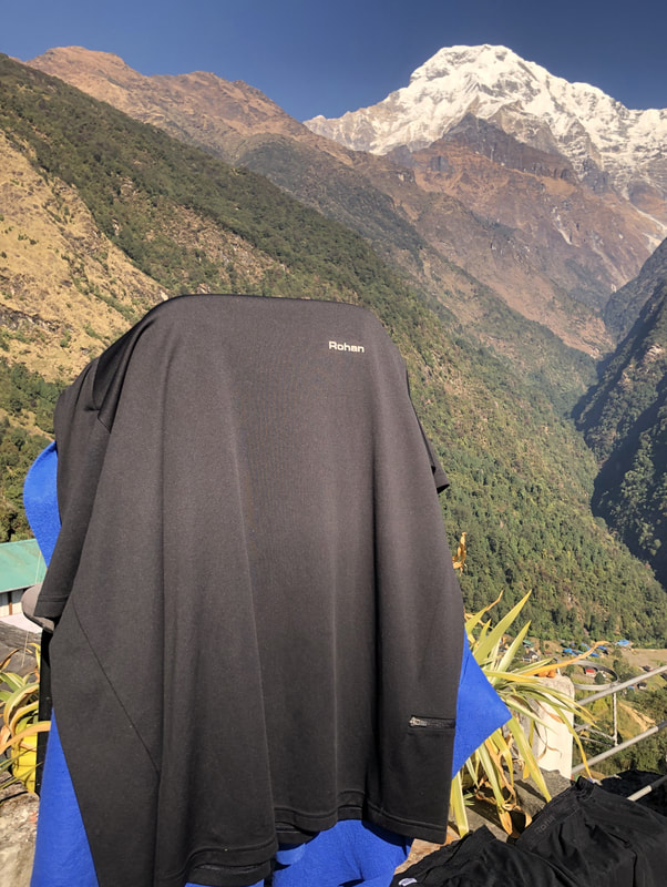
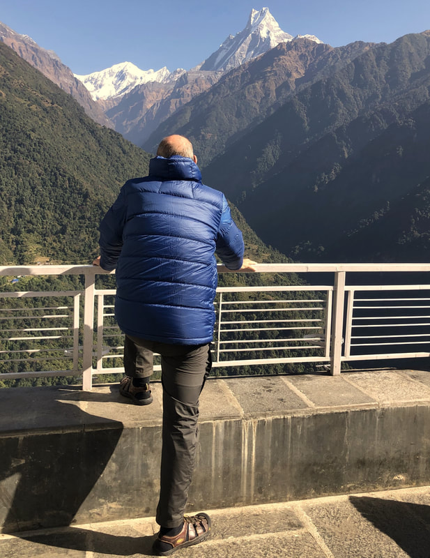
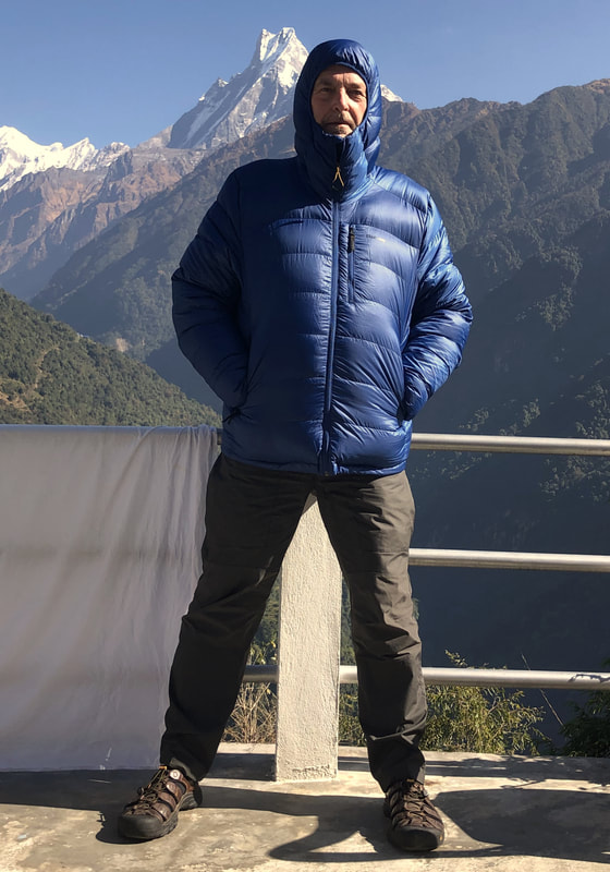
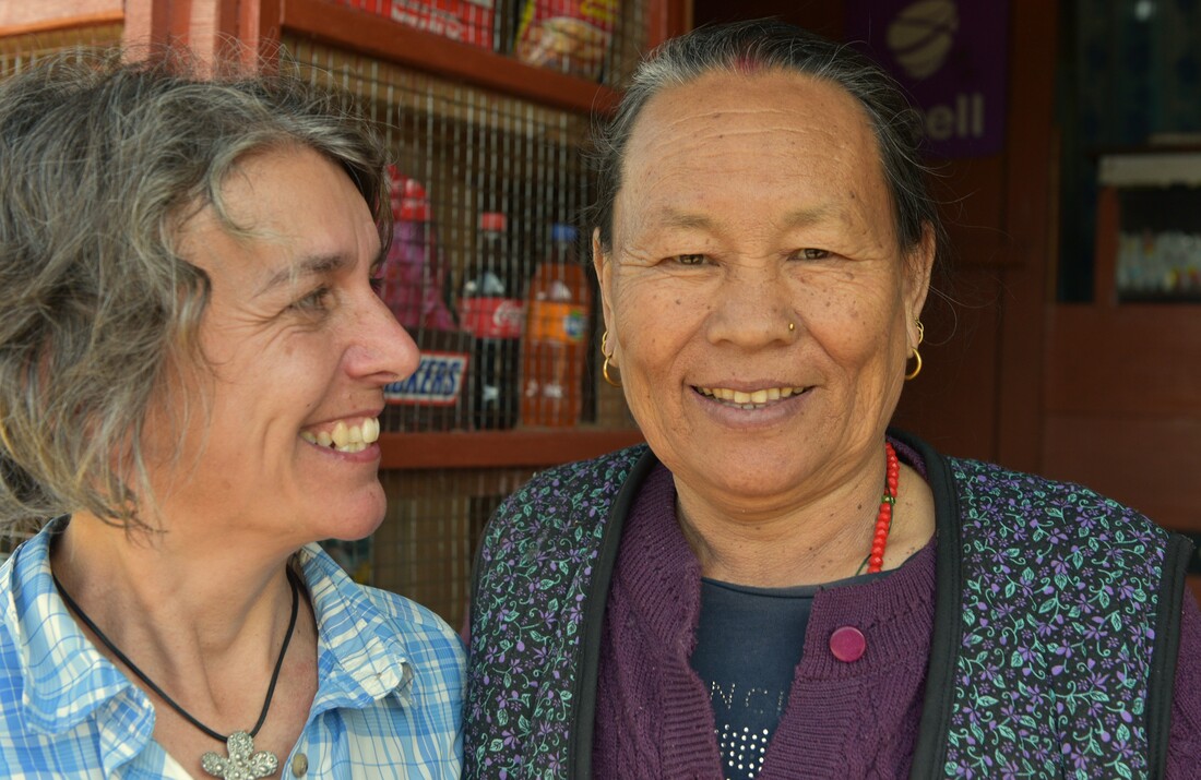
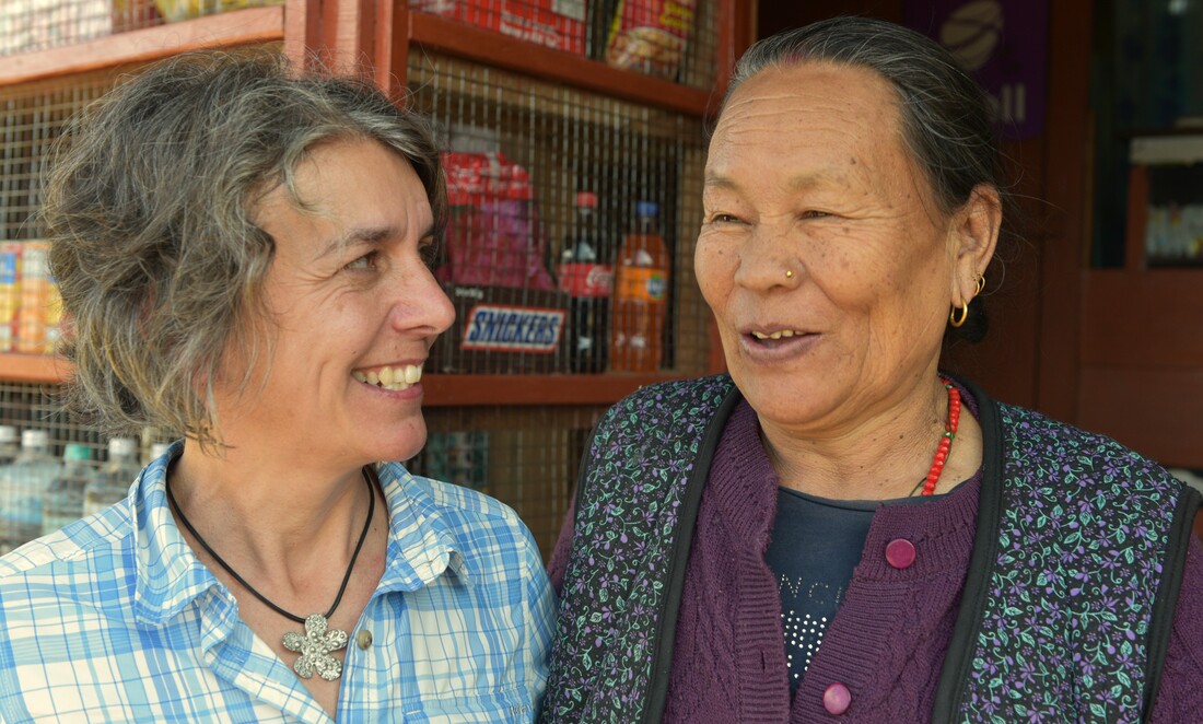
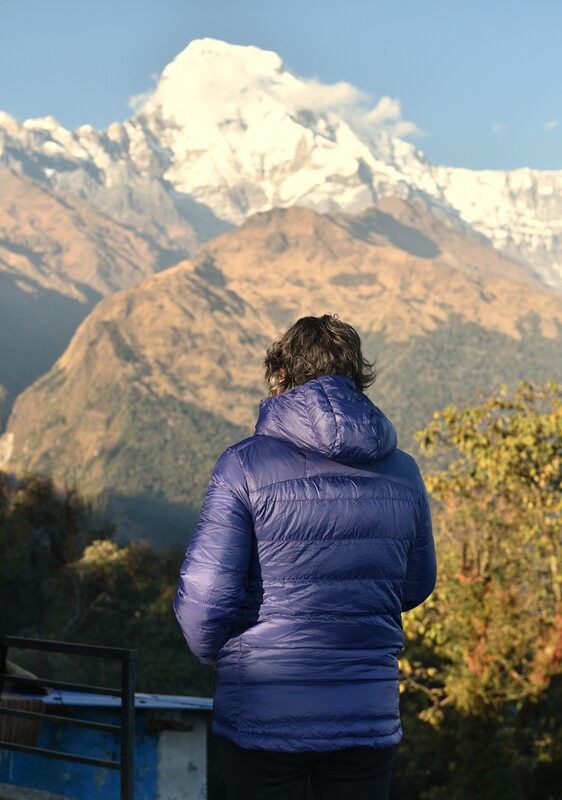
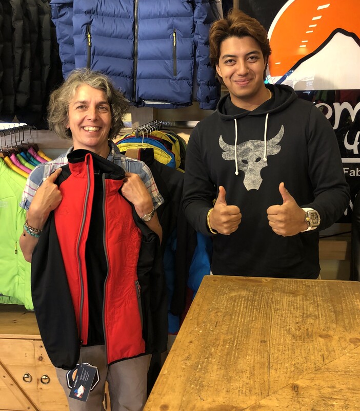
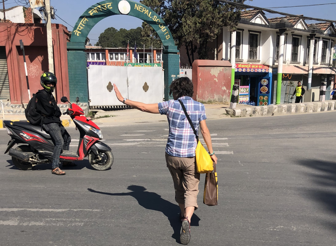
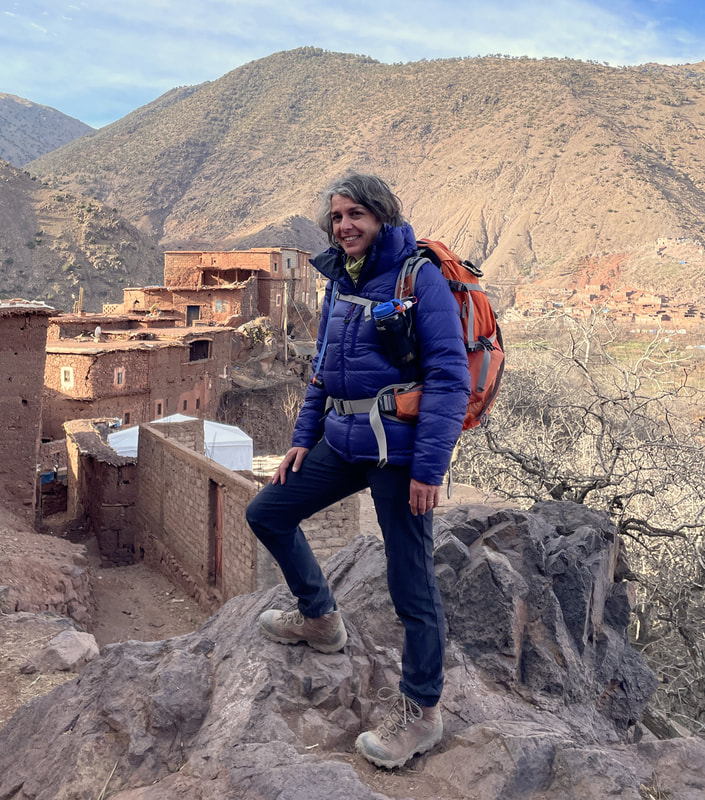
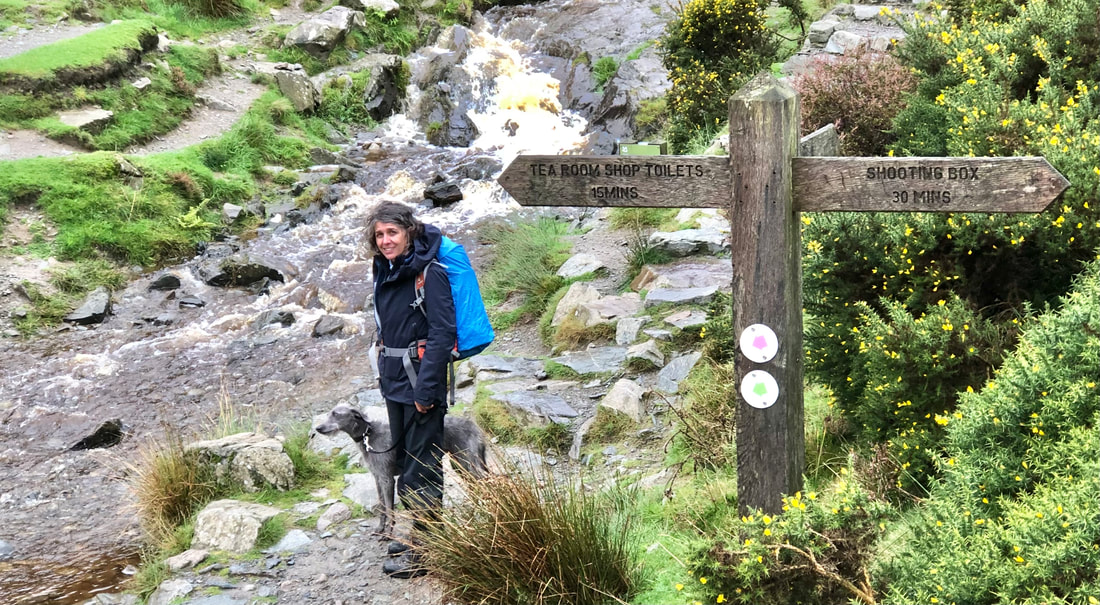
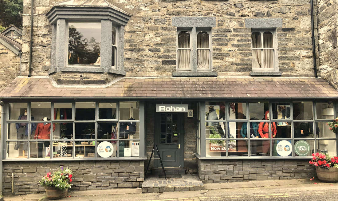
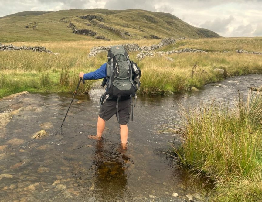
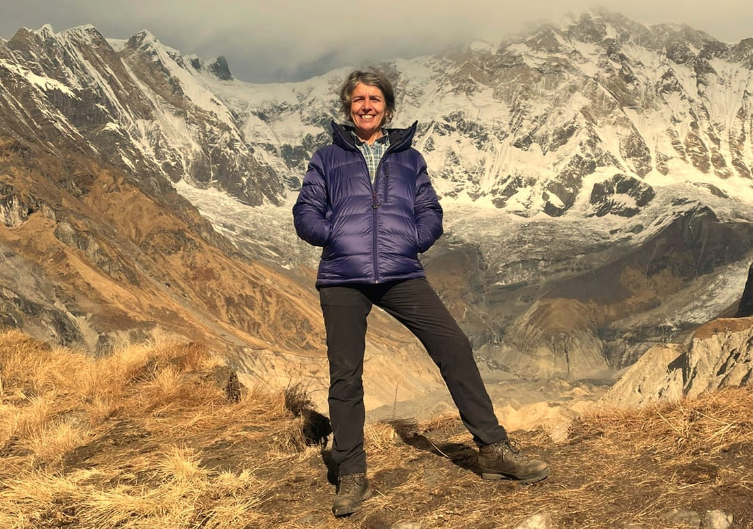 Helen menhinick (bryn walking) and i have recently returned from an annapurna base camp trek in nepal. we relied on rohan designs clothing throughout the trip - this is a brief review of what we used.I've used Rohan Designs clothing for many years (Since 1986 I believe), from a previous career in the Oil & Gas Sector in the jungles of West Papua, Indonesia, into the realms of high altitude on Kilimanjaro and Mera Peak and training local mountain guides in Sharjah, the High Atlas Mountains of Morocco and the Highlands of Central Java in Indonesia. Men's Eos Insulated Winter Jacket + Women's Eos Insulated Winter JacketHelen and I both wore these jackets on the ABC Trek and were very impressed with them up above 3200m with Helen wearing hers at Annapurna Base Camp (4150m). Features at a Glance:
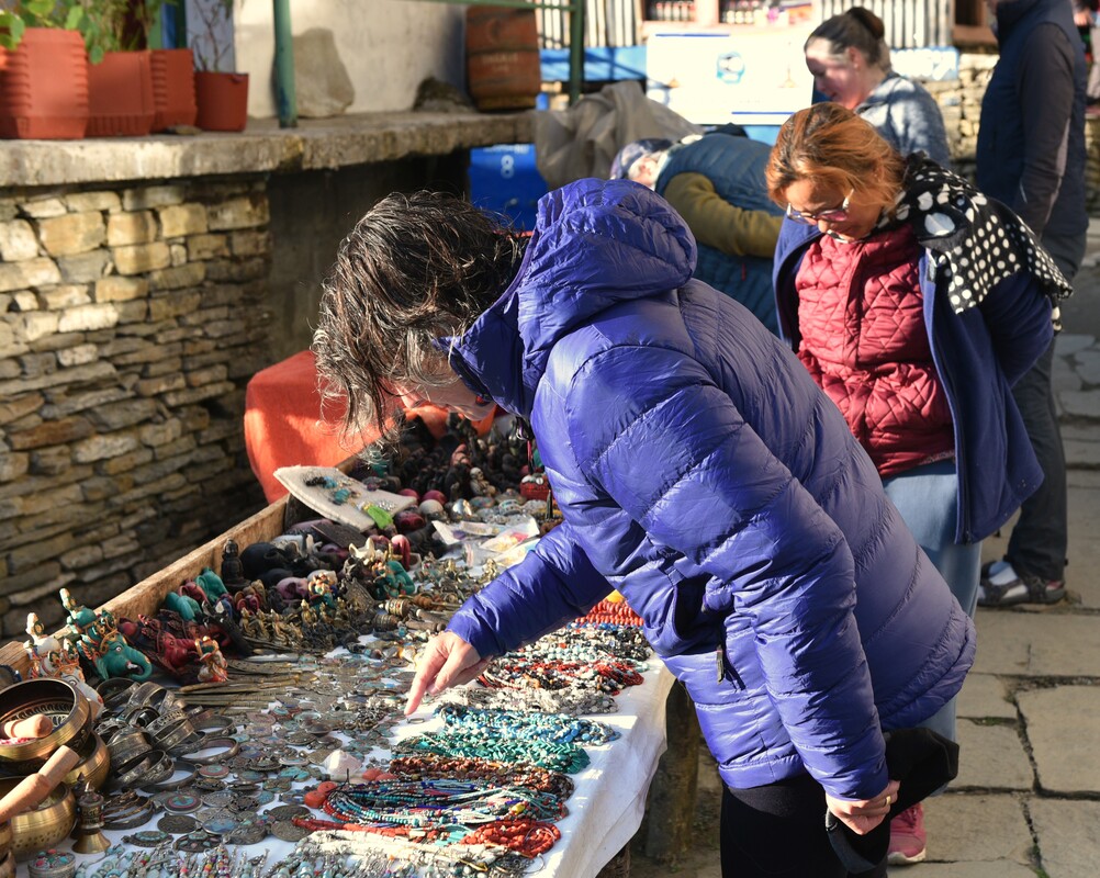
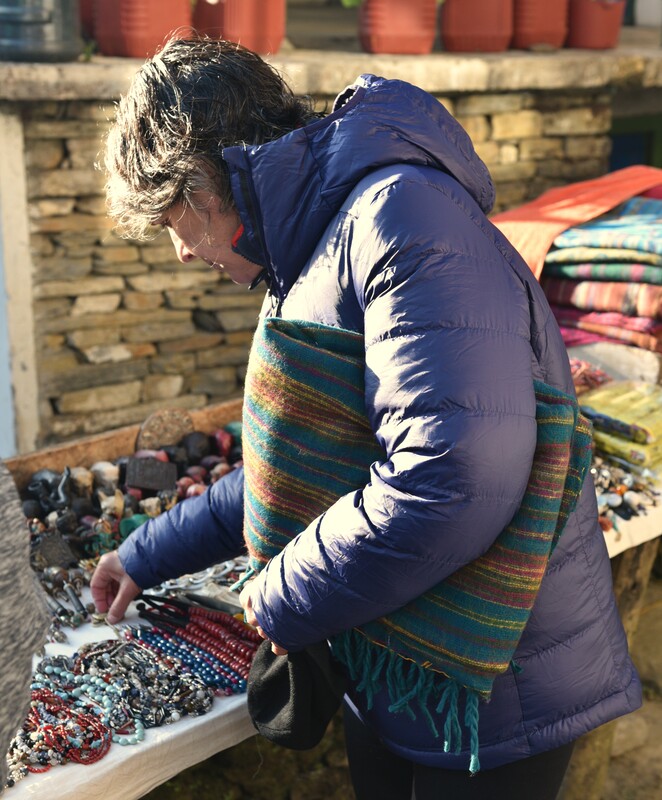
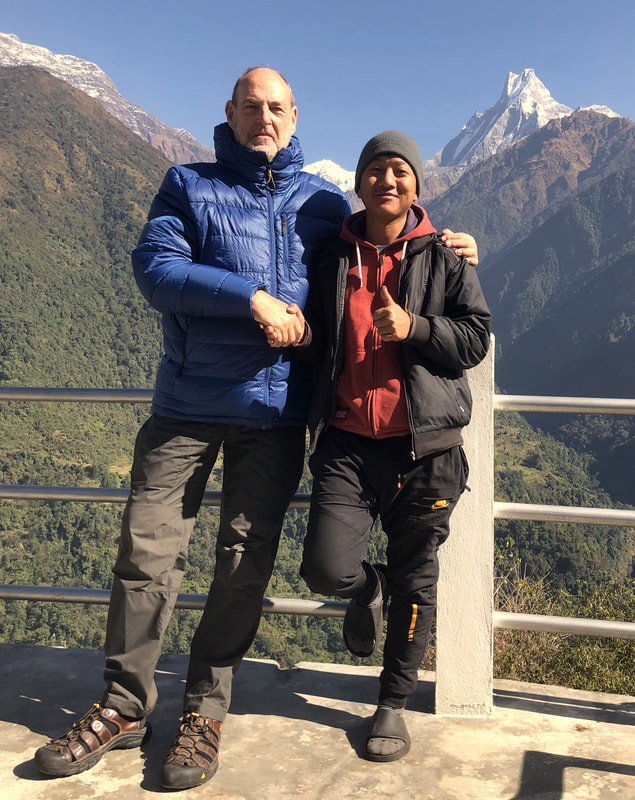
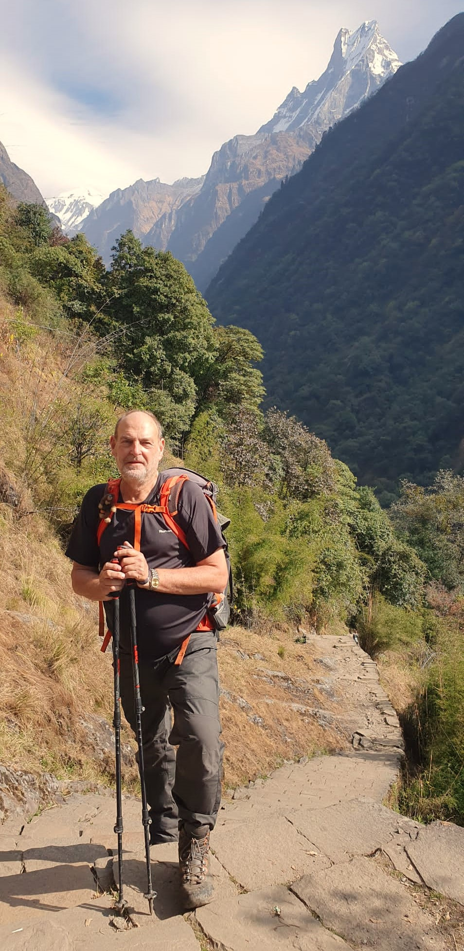
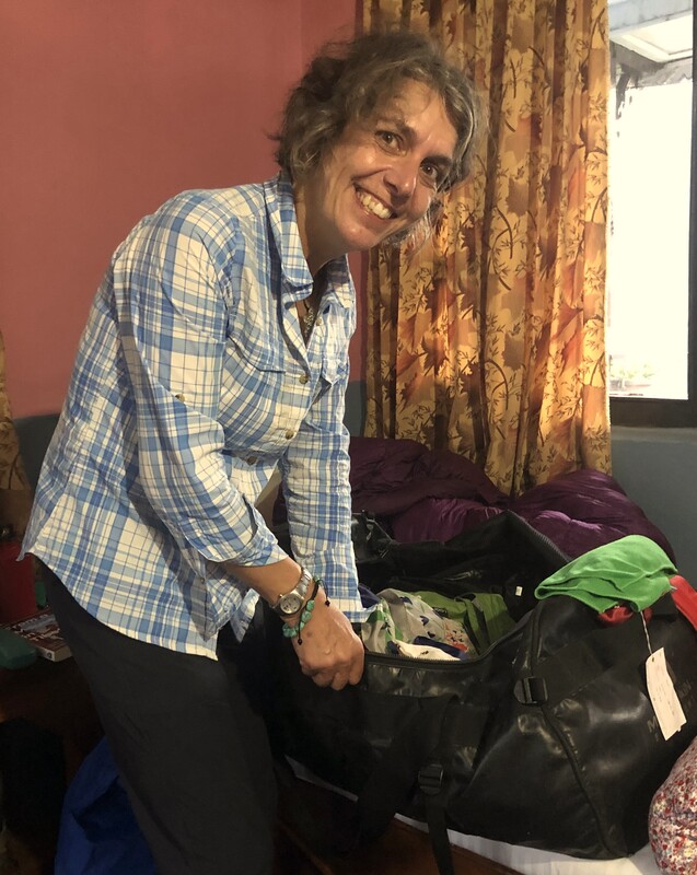
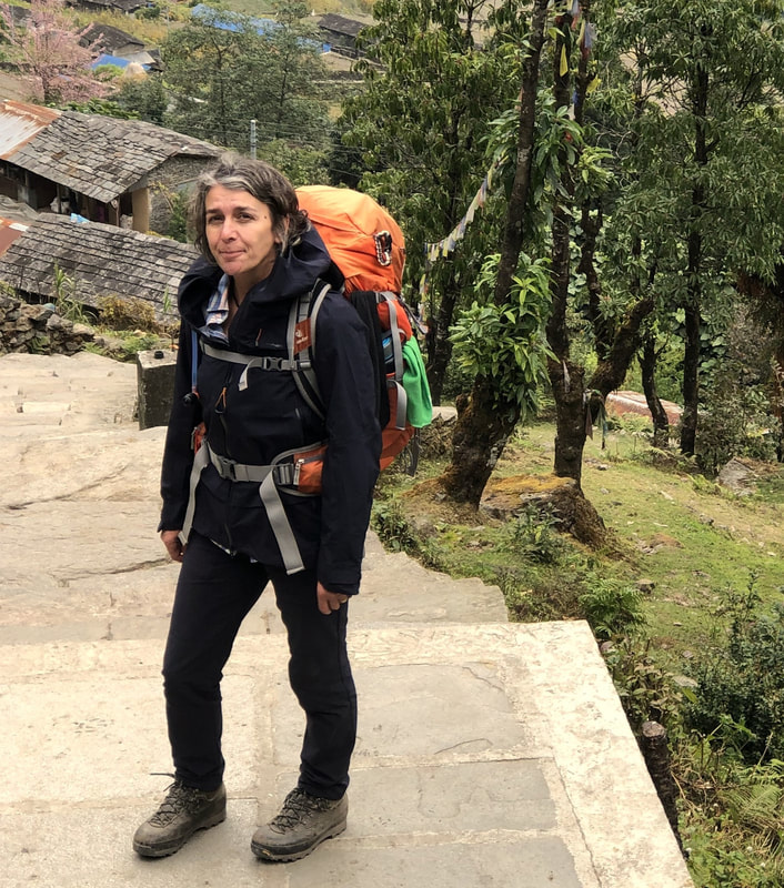
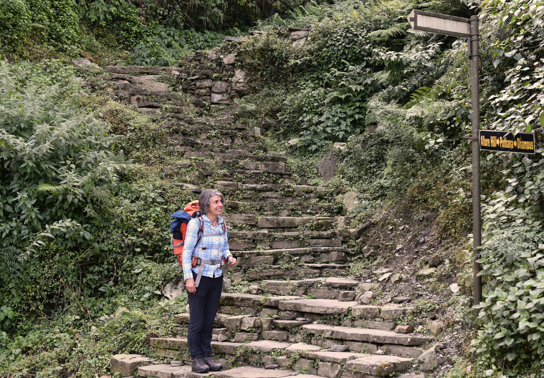
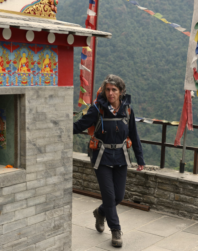
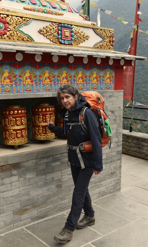
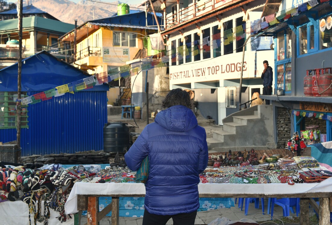
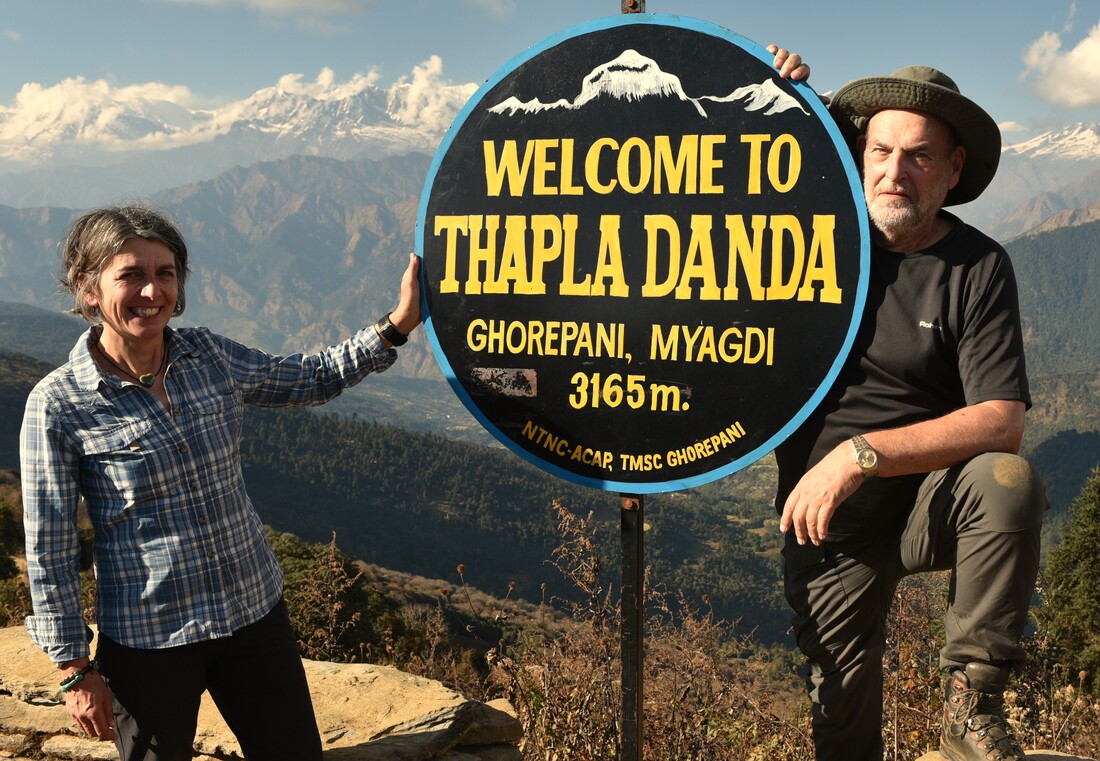
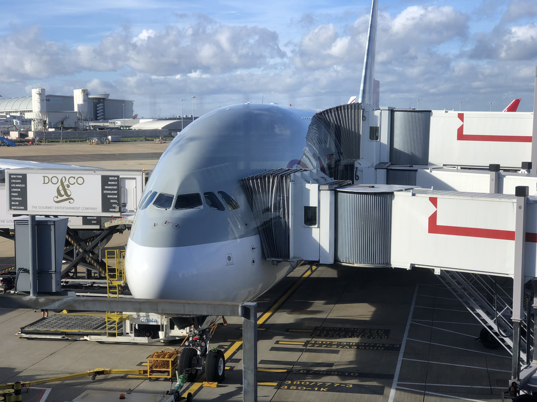
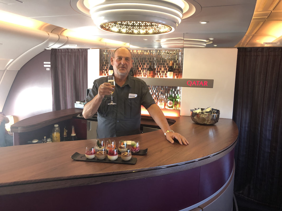
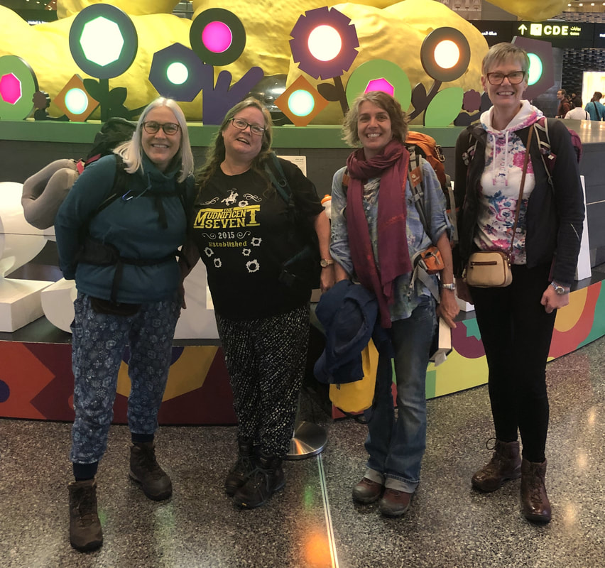
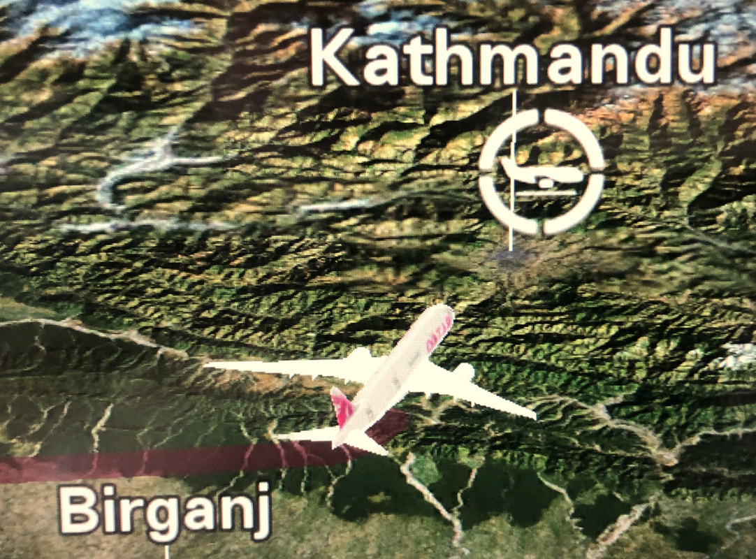
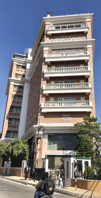
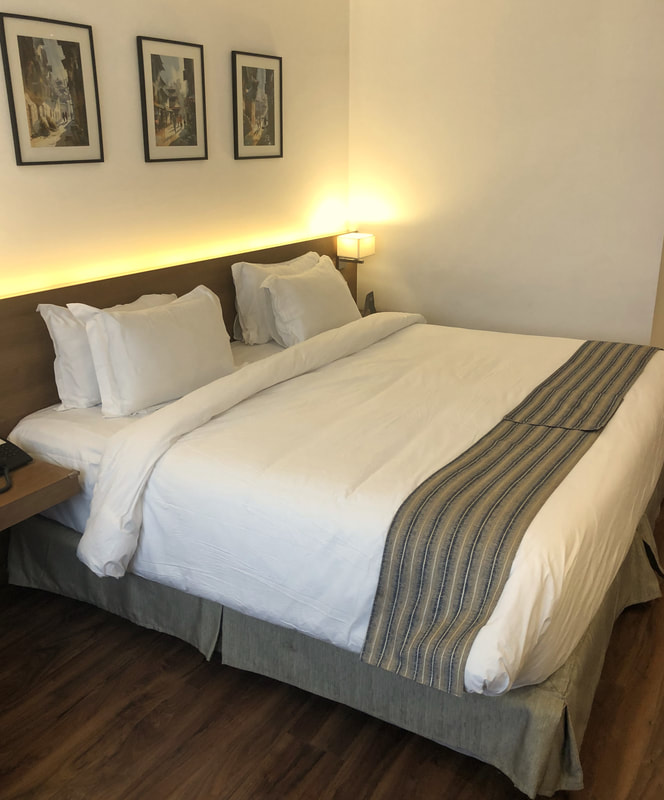
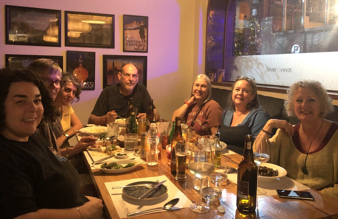
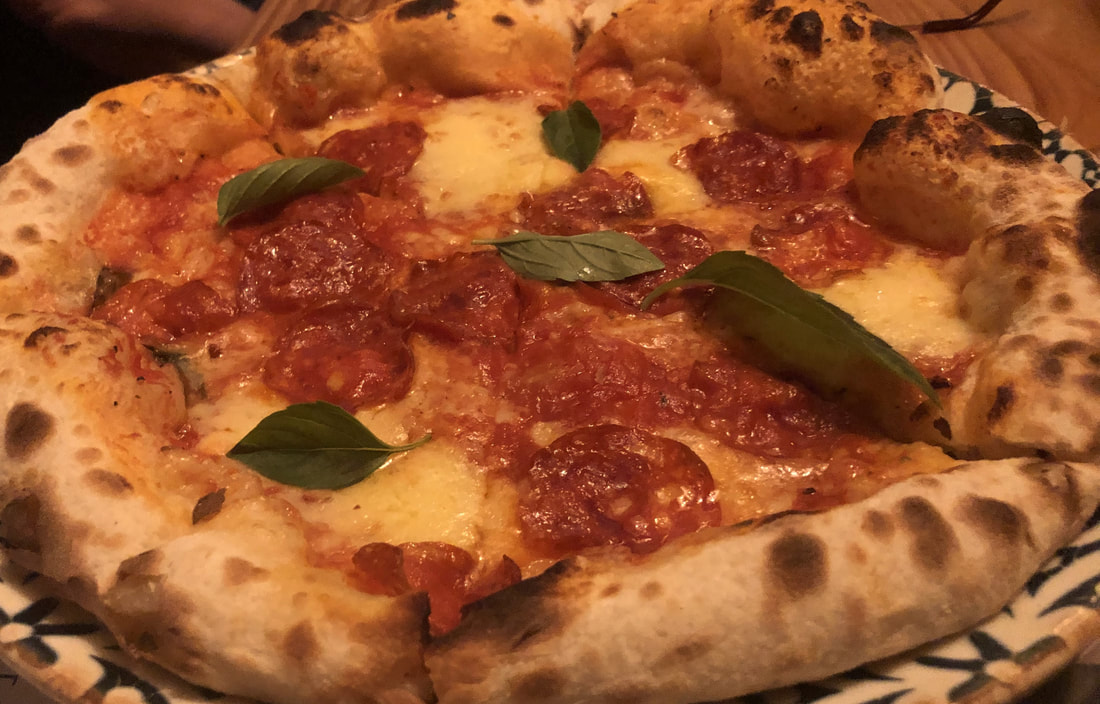
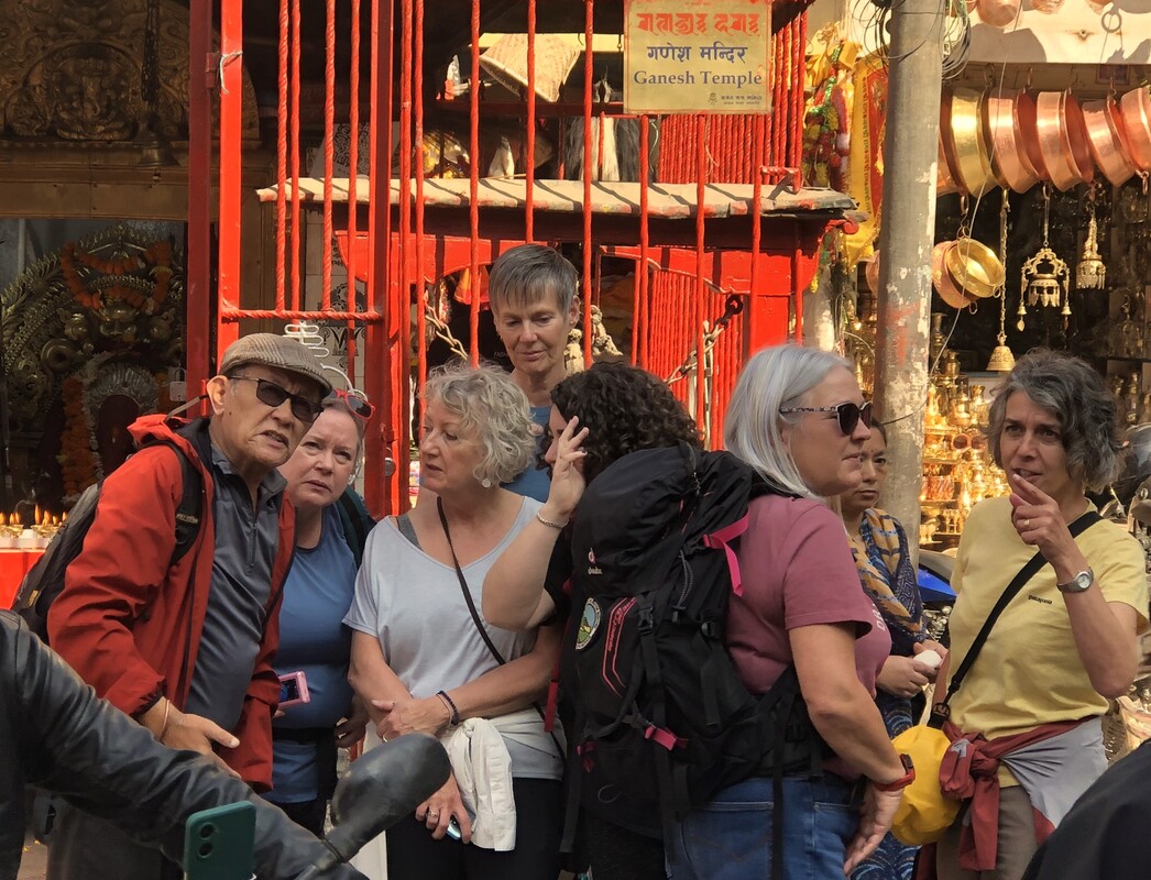
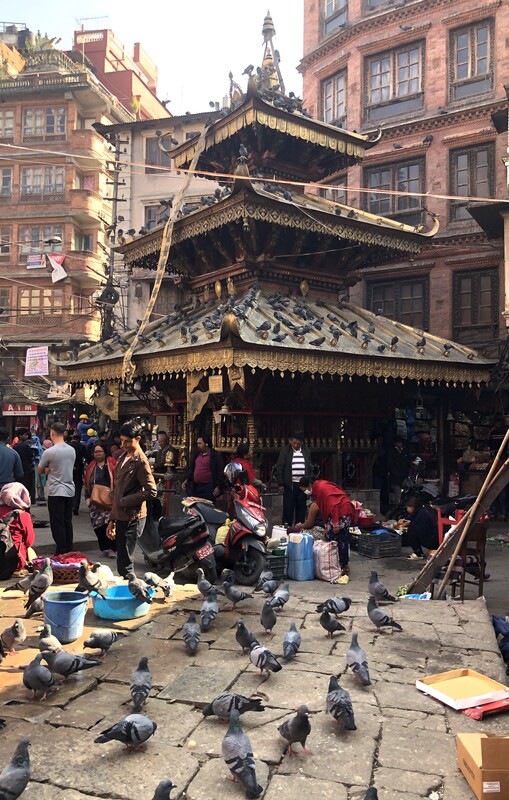
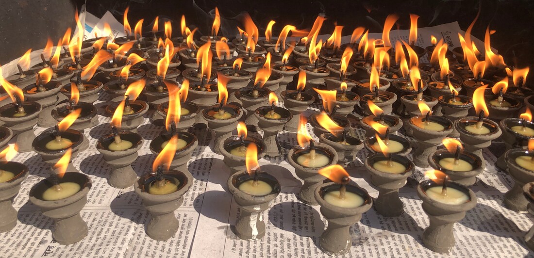
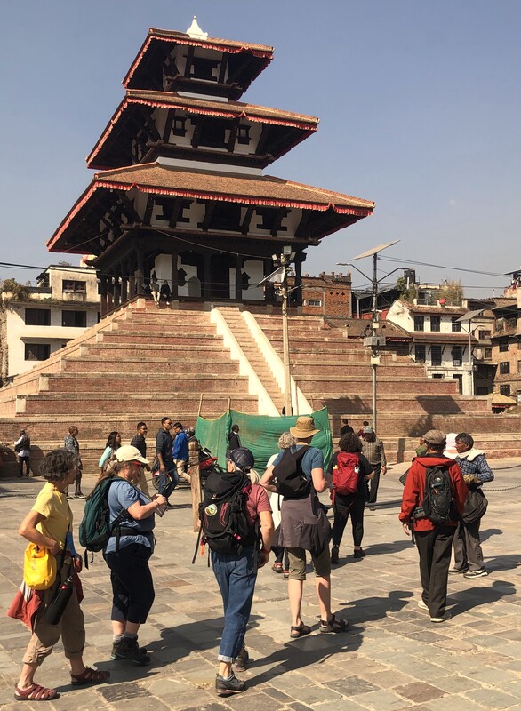
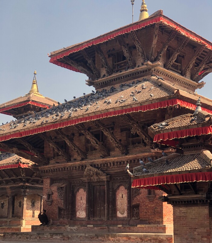
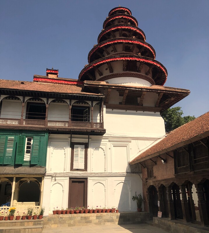
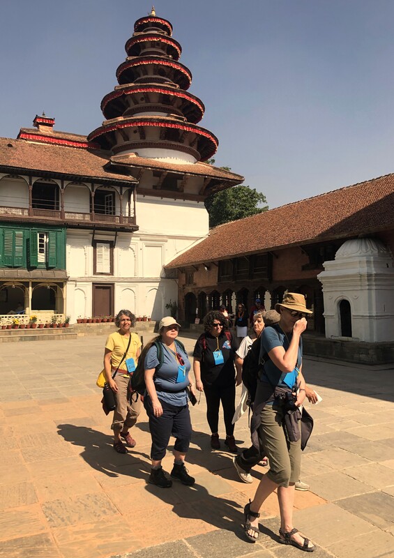
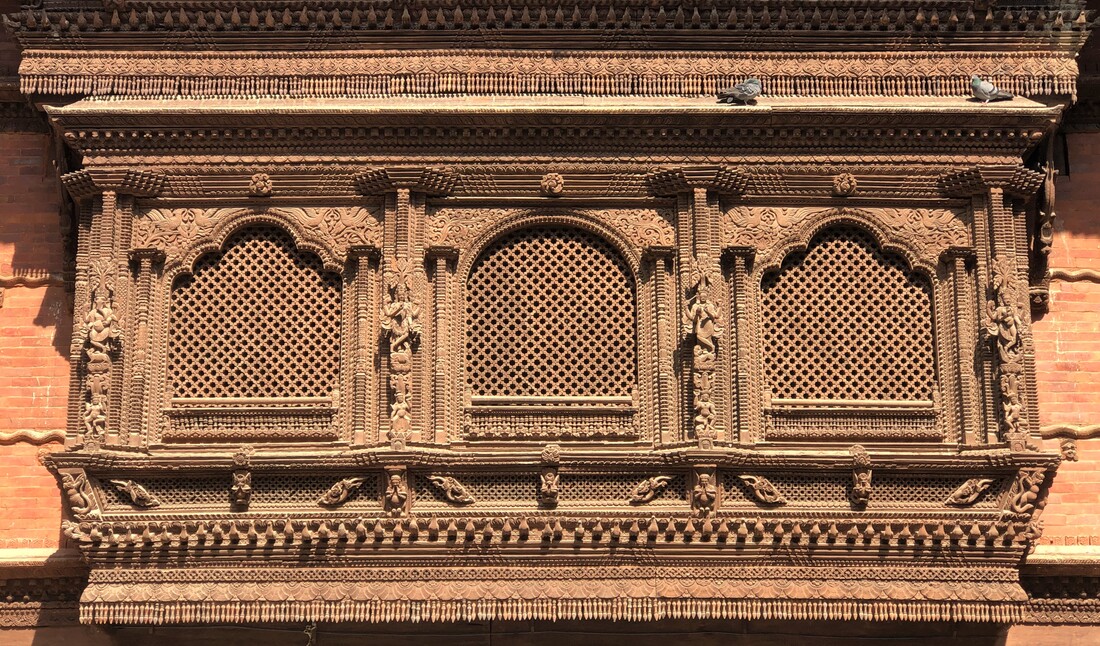
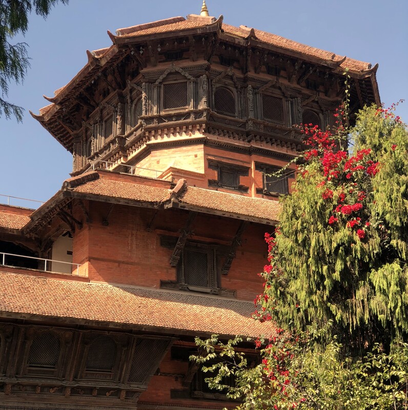
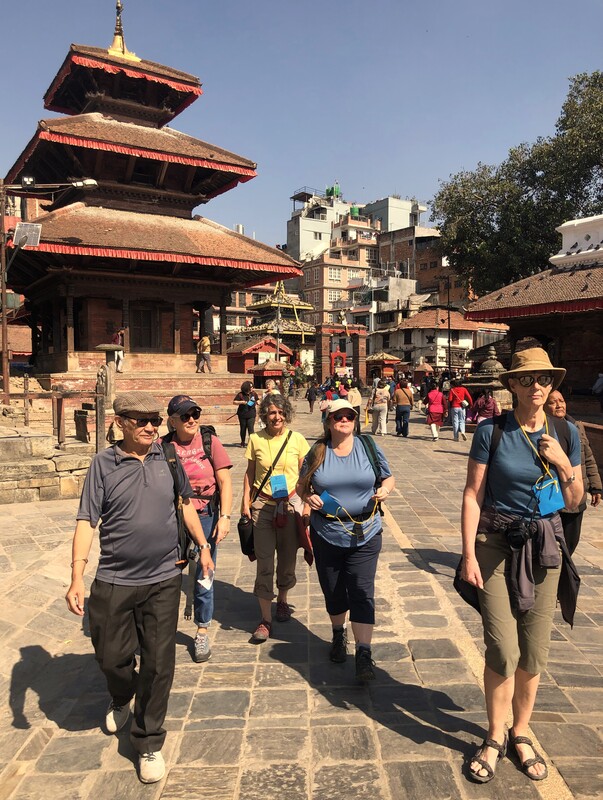
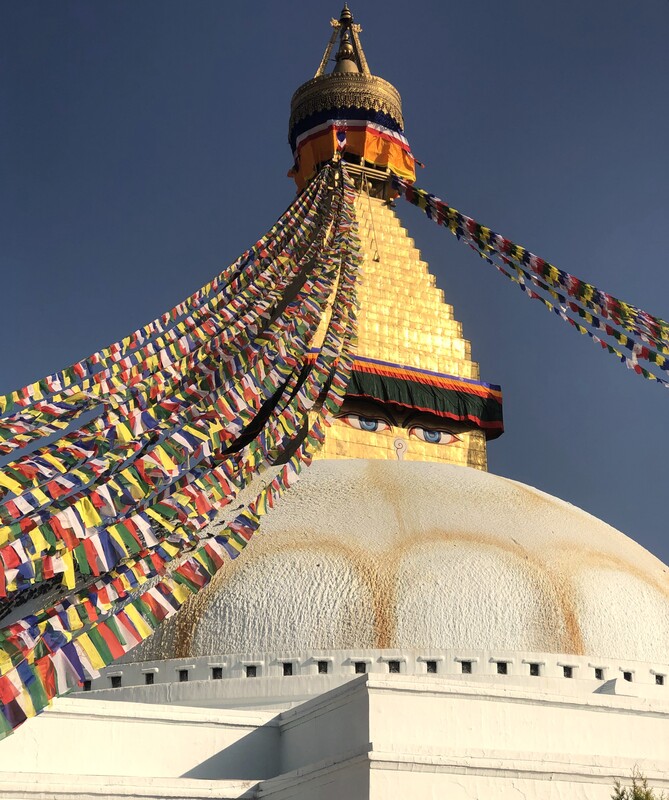
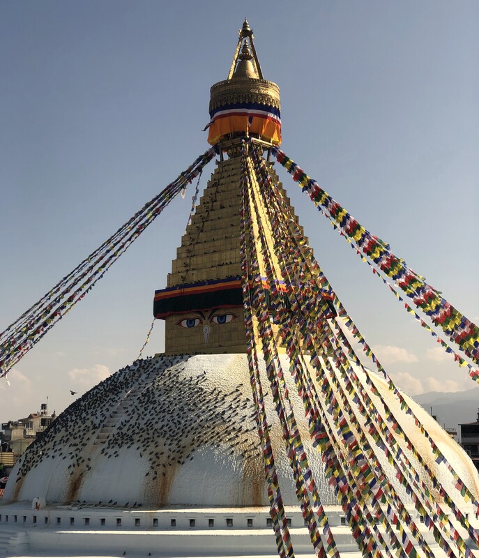
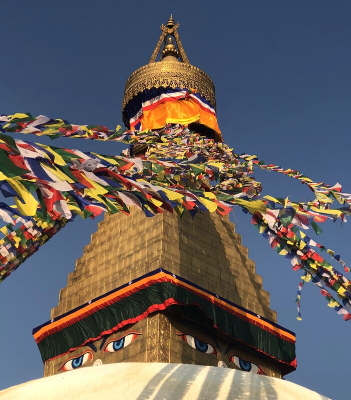
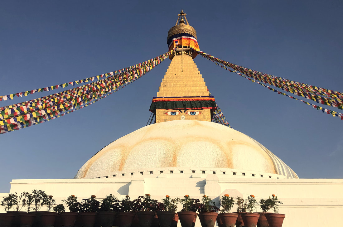
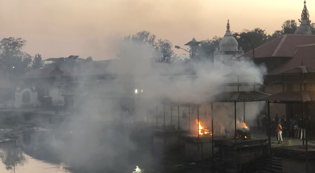
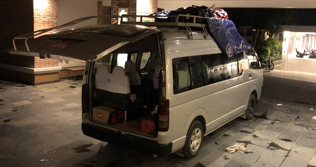
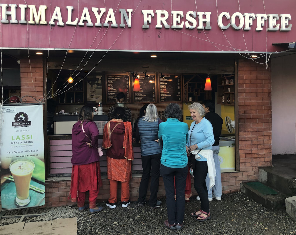
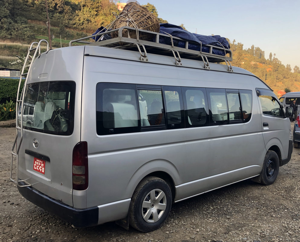
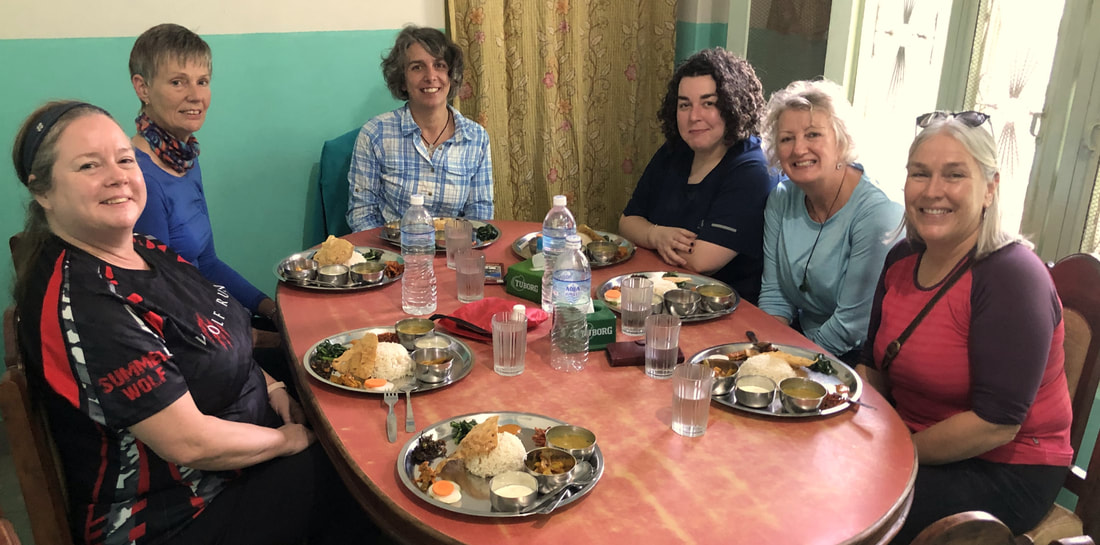
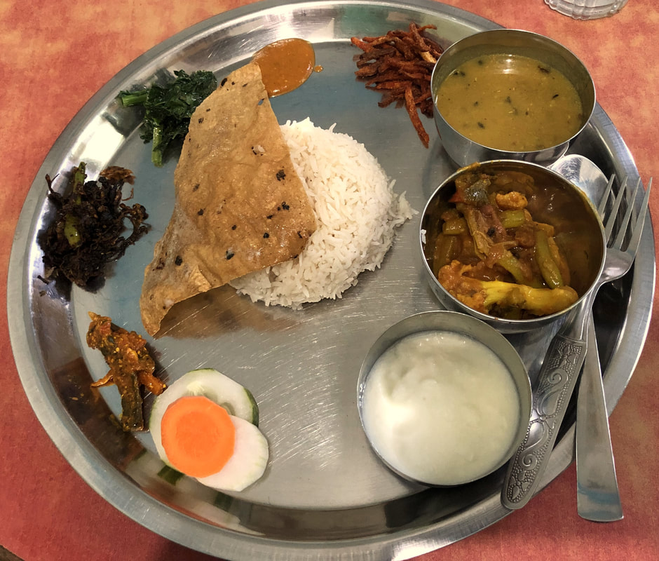
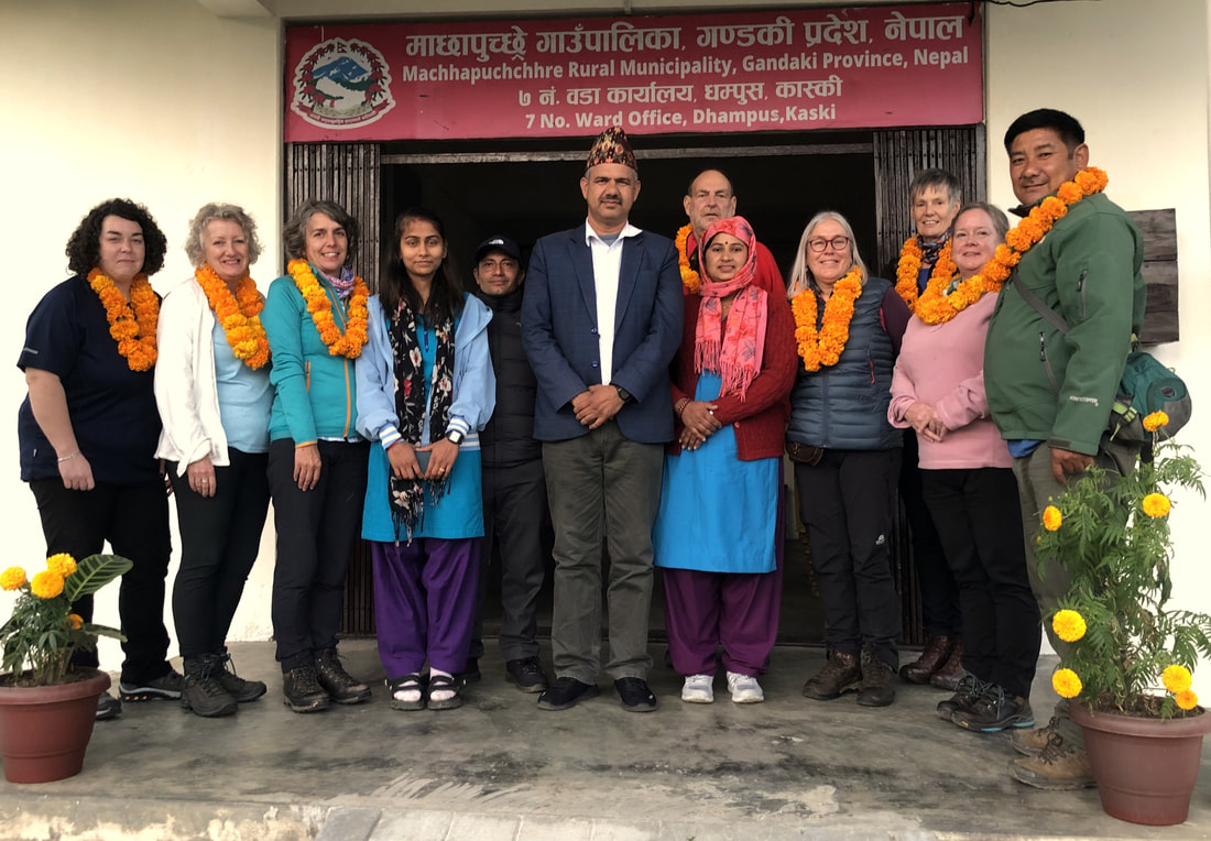
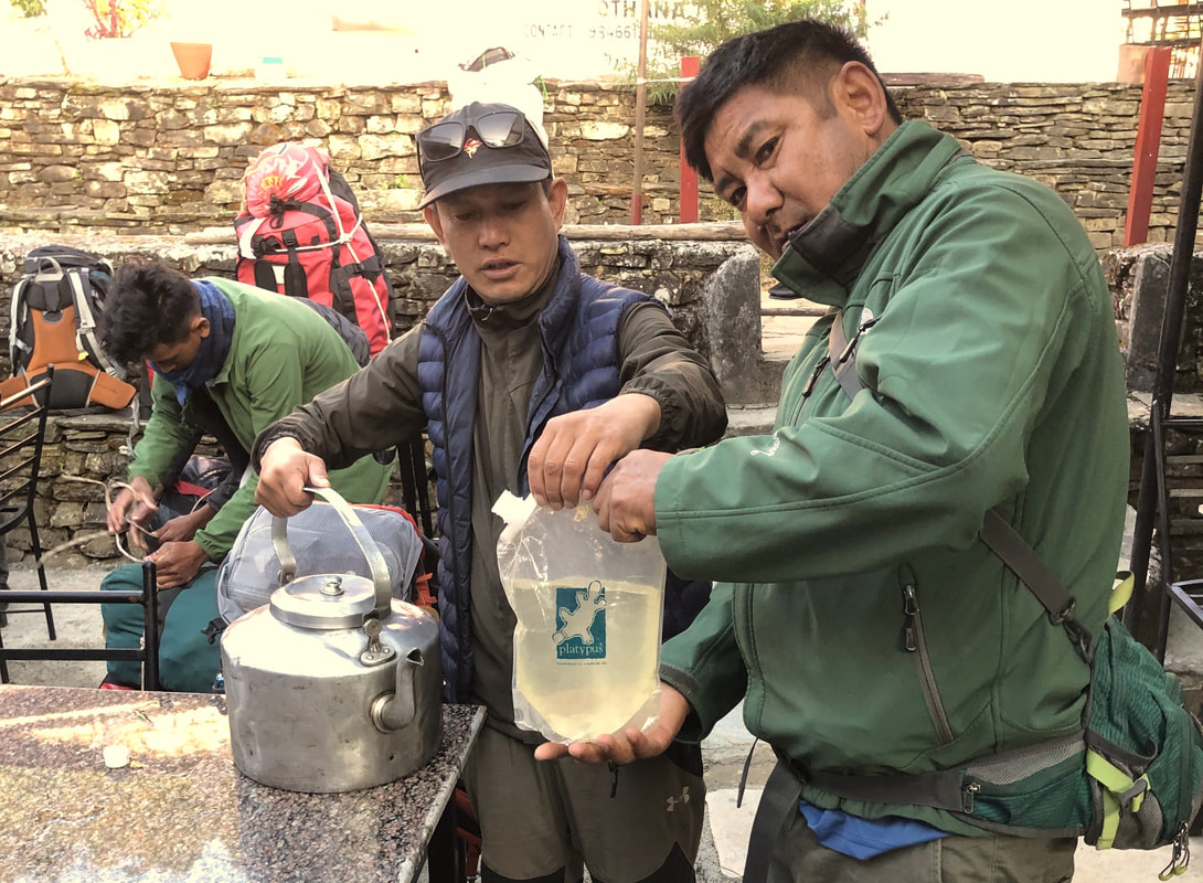
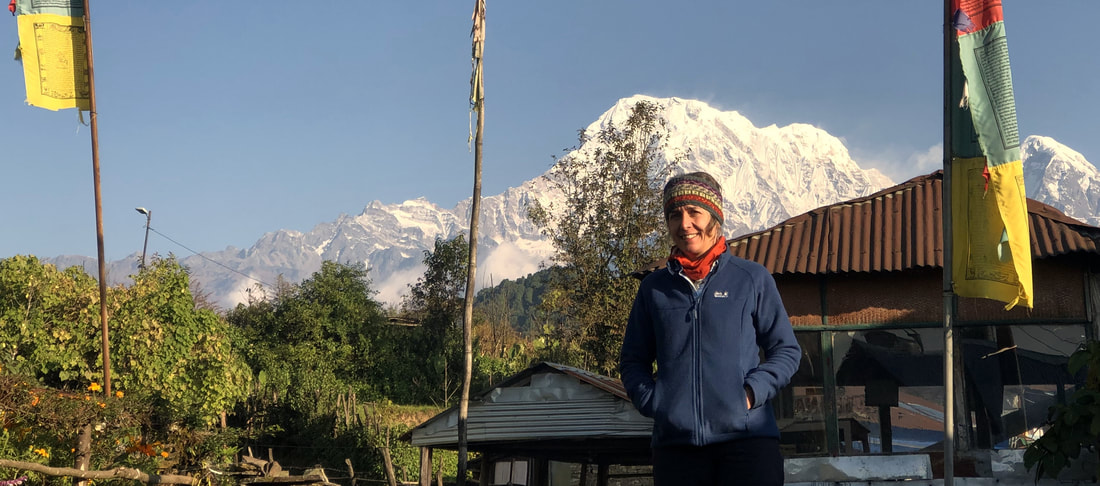
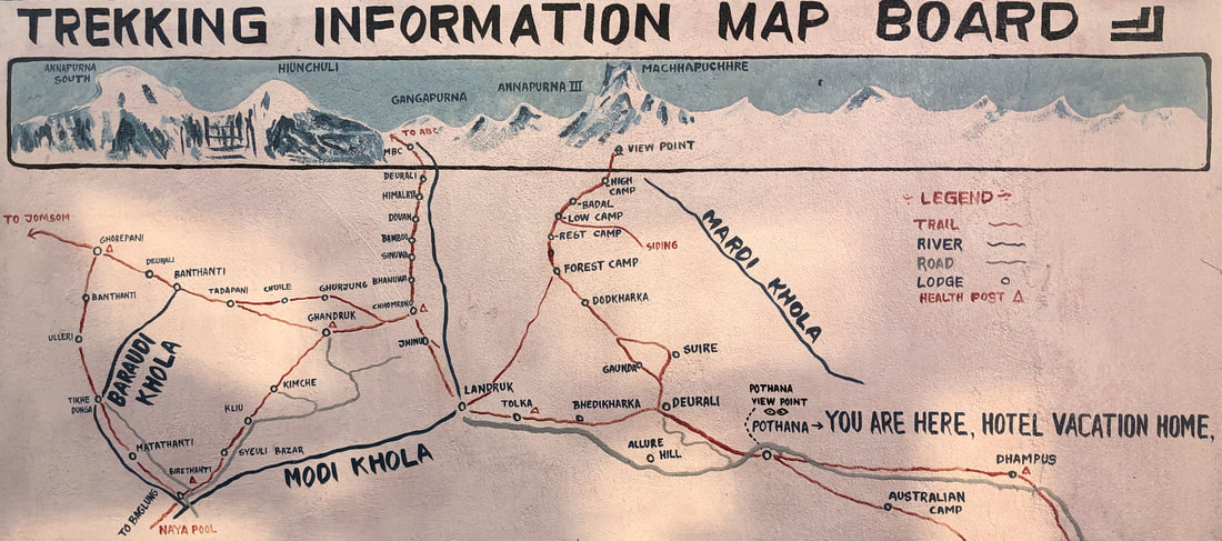
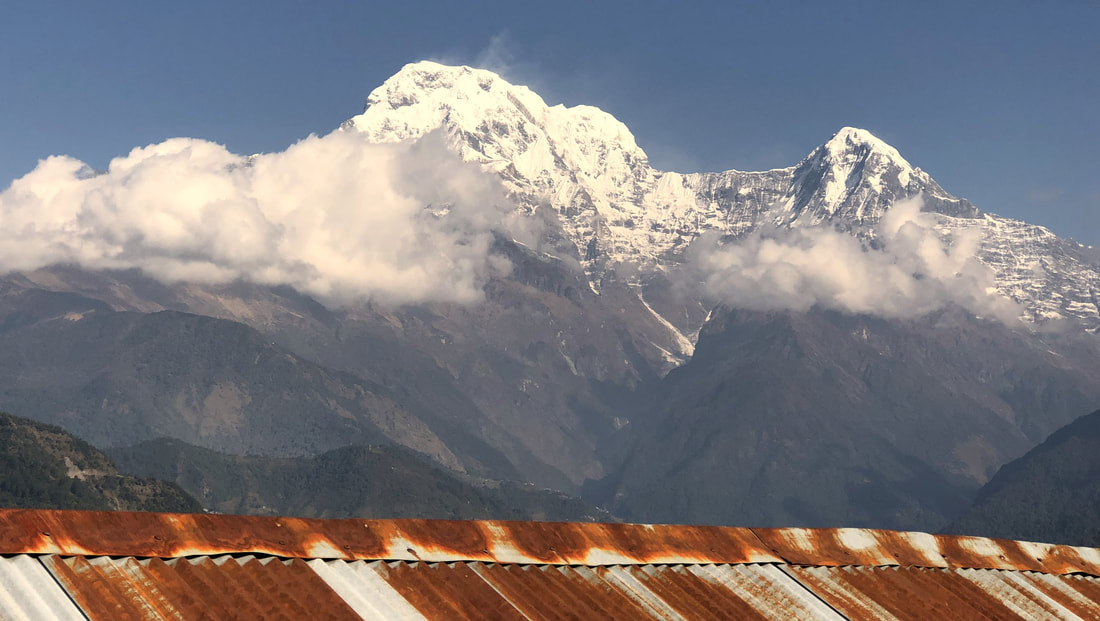
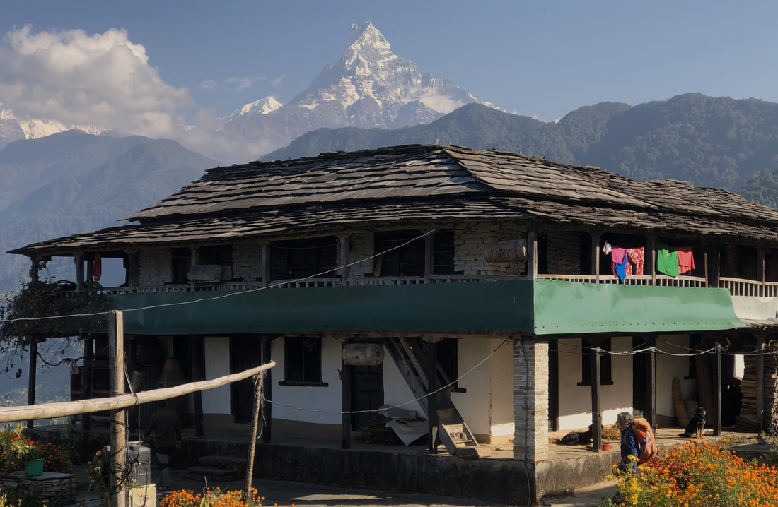
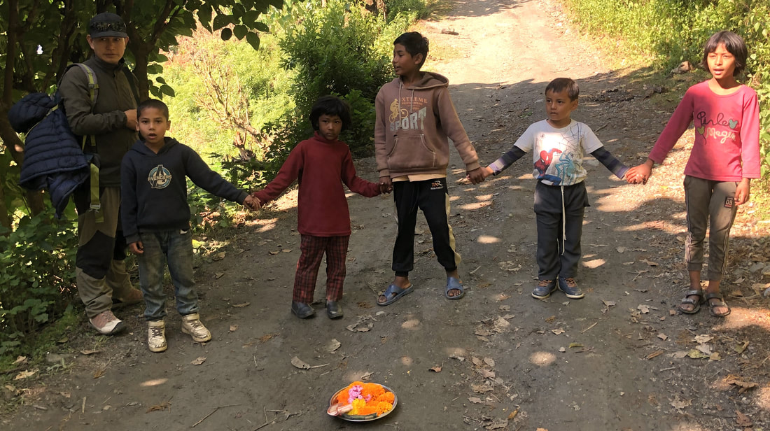
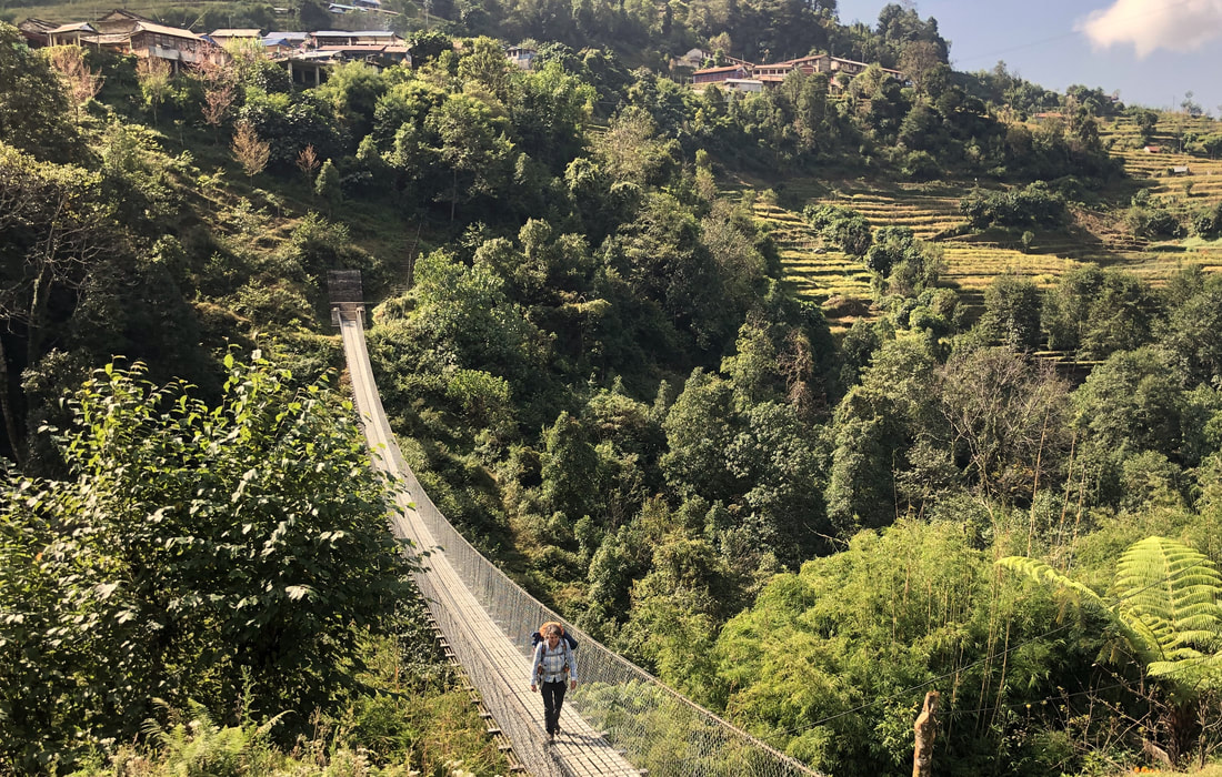
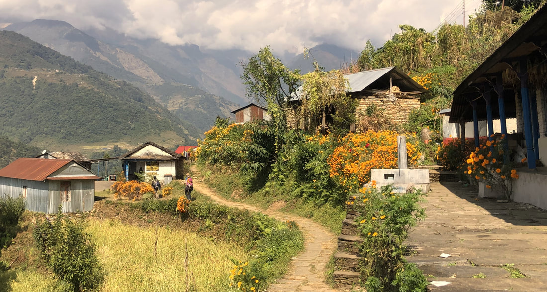
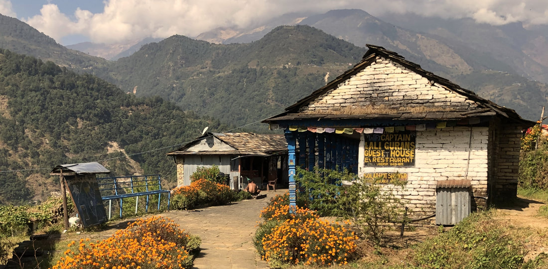
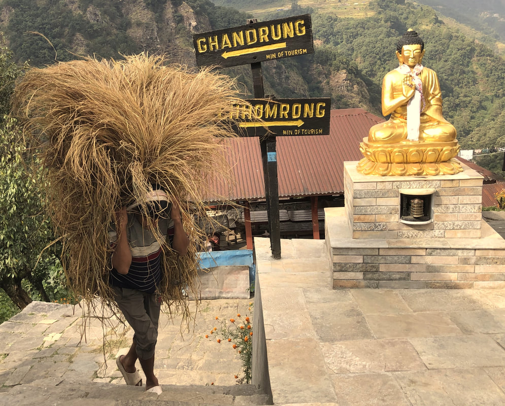
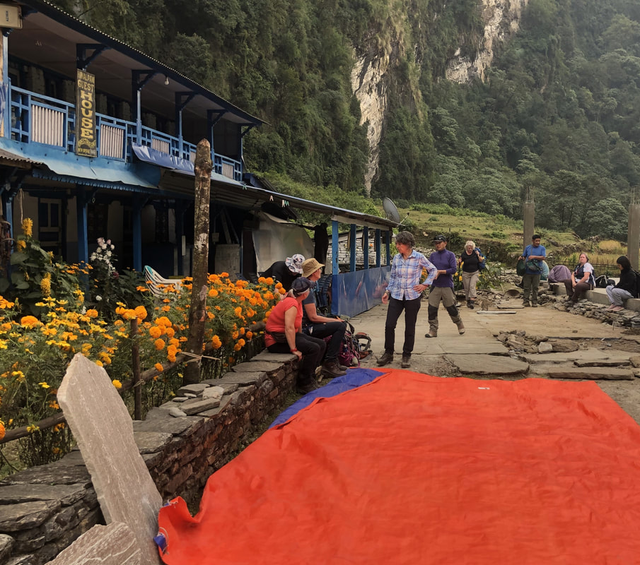
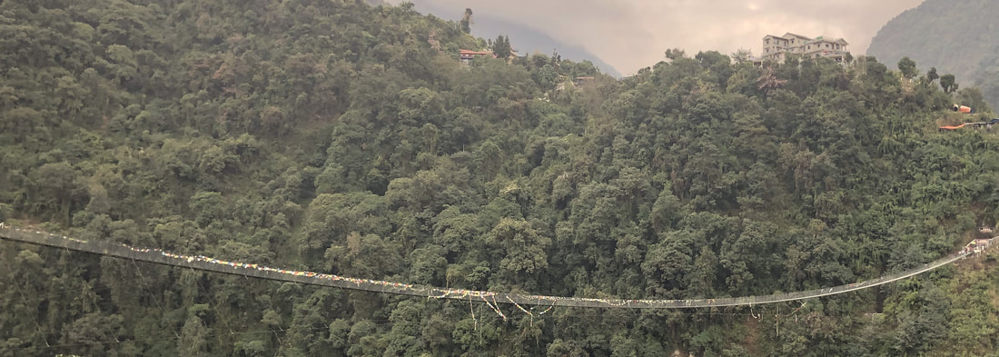
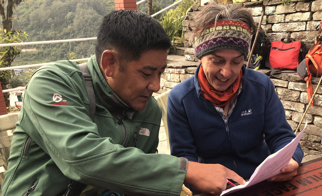
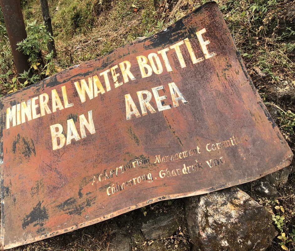
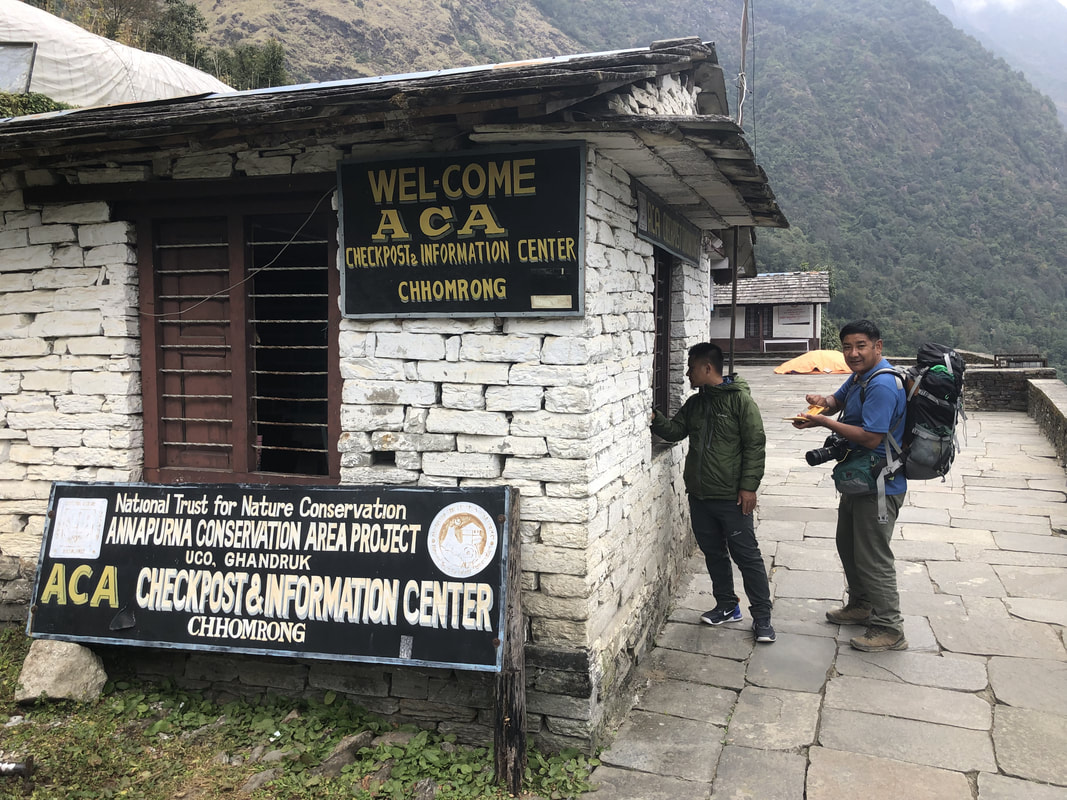
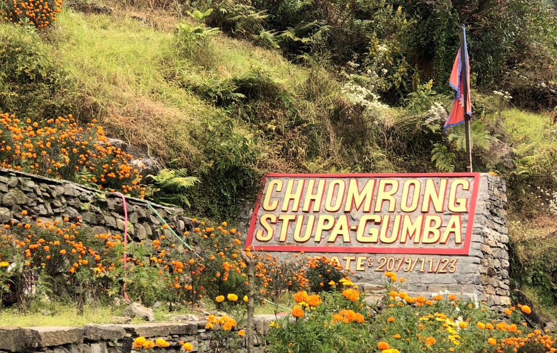
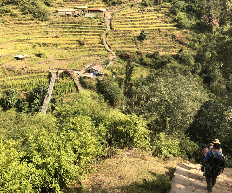
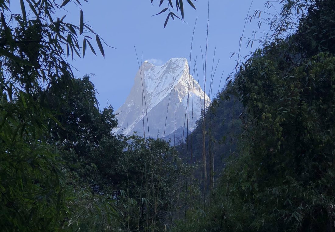
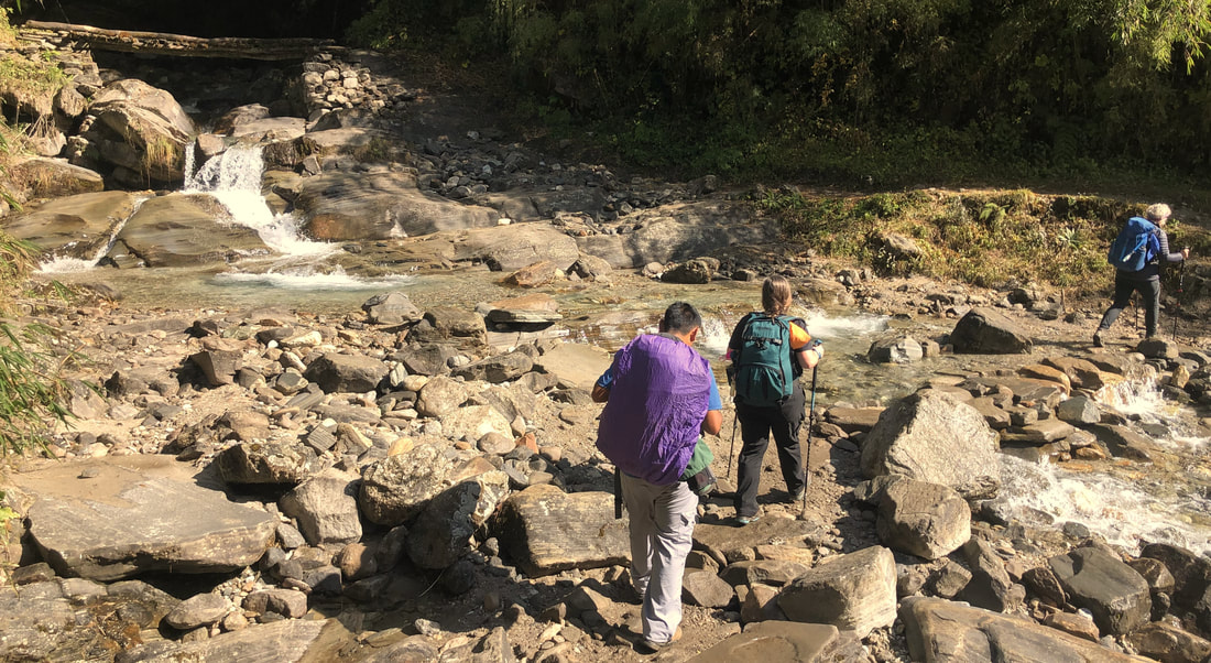
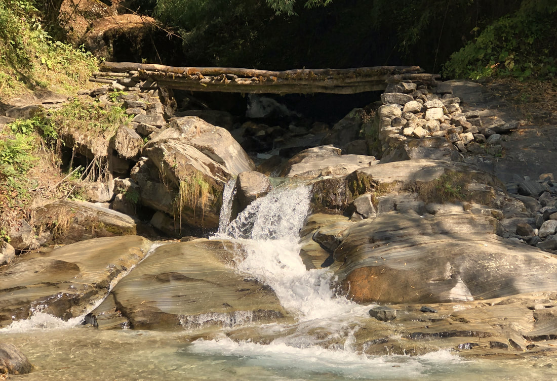
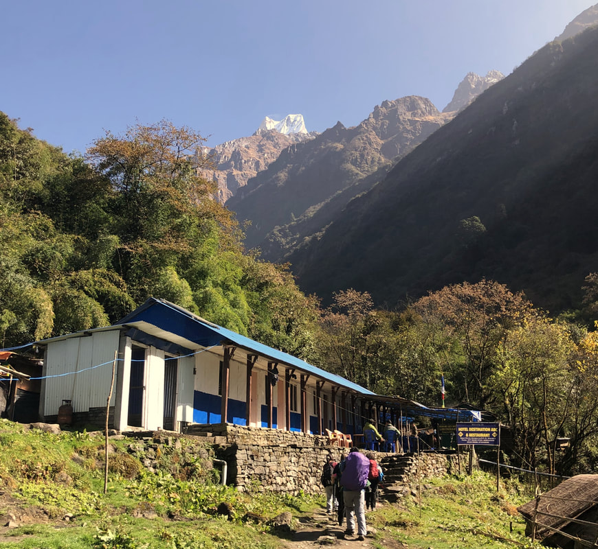
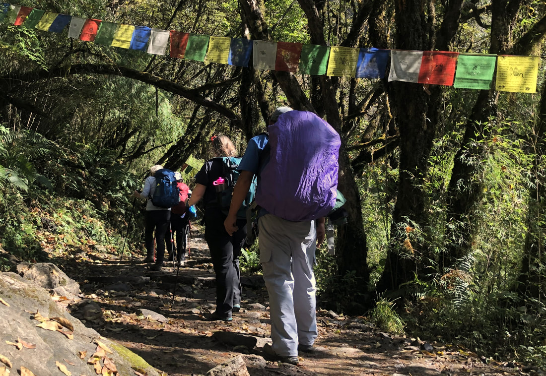
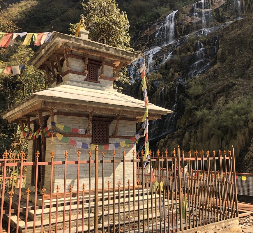
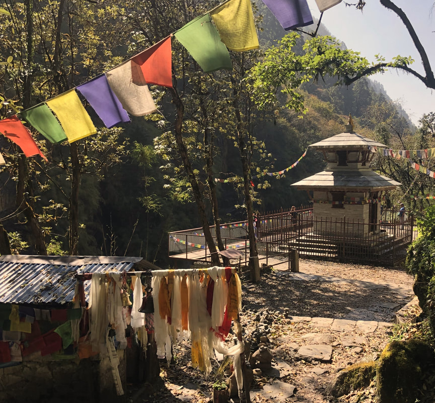
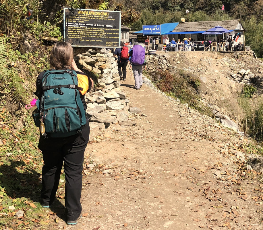
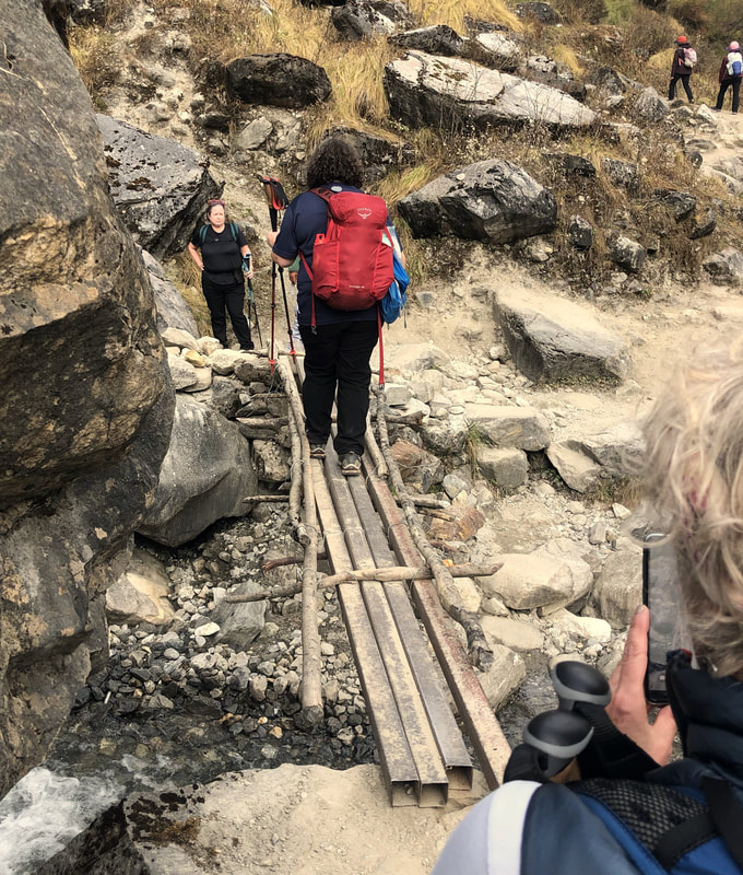
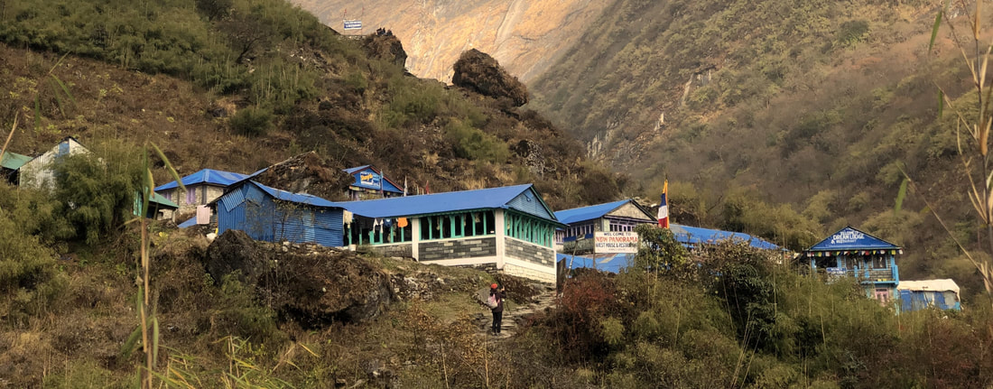
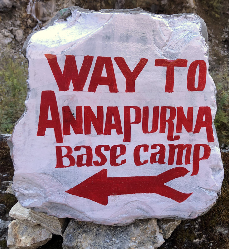
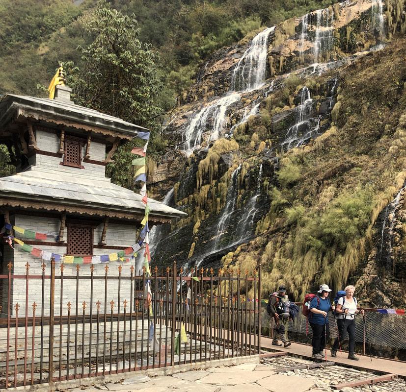
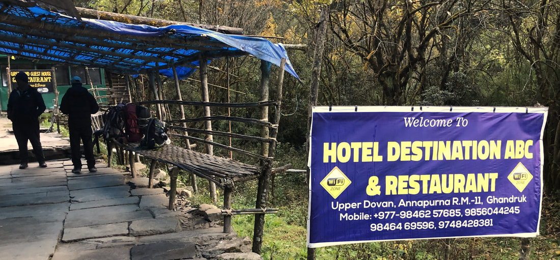
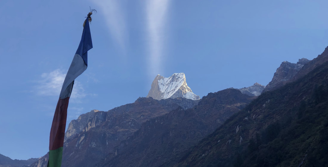
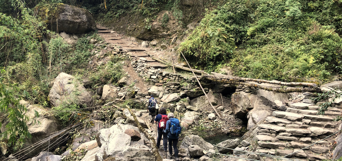
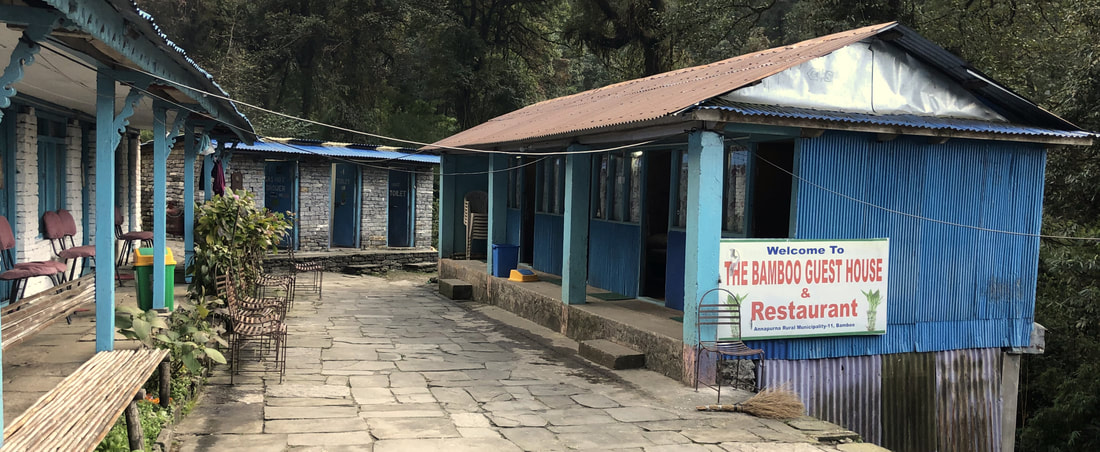
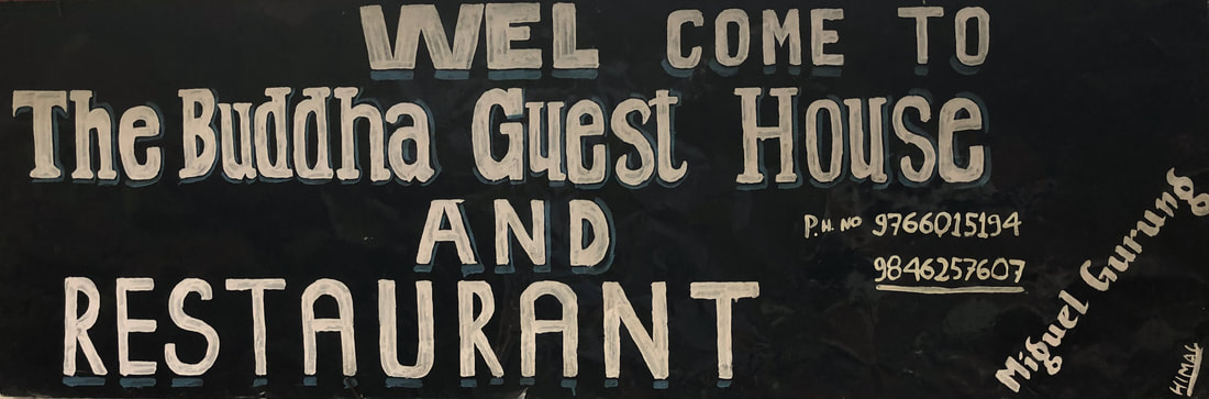
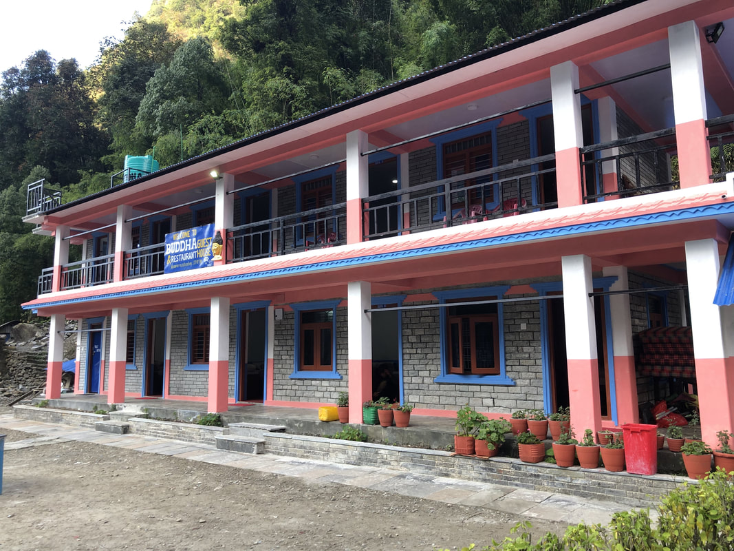
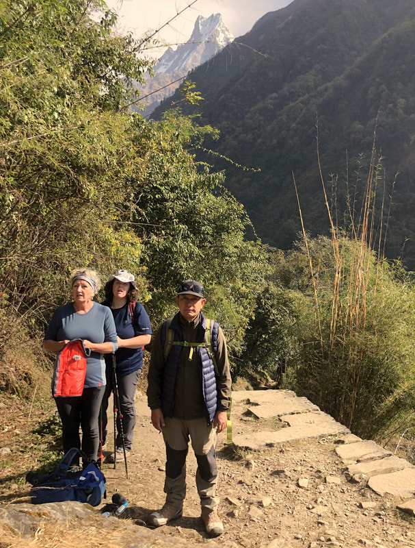
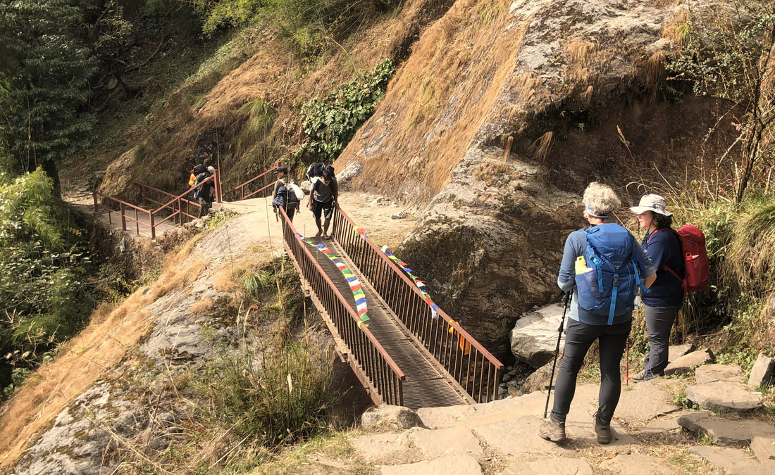
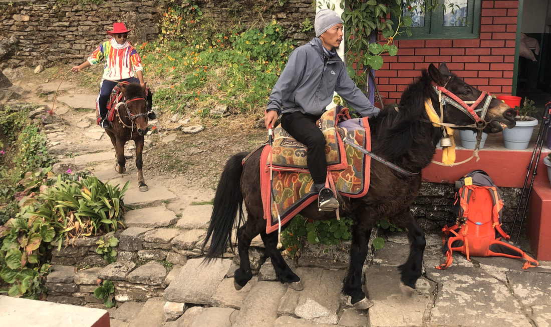
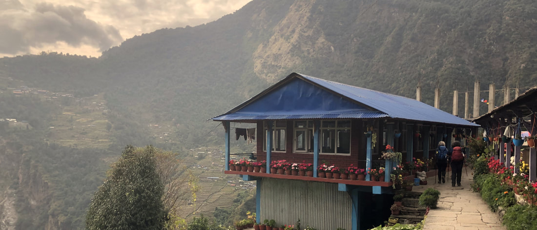
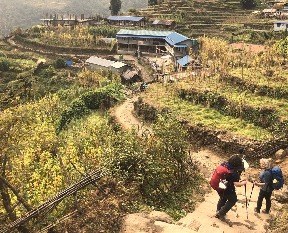
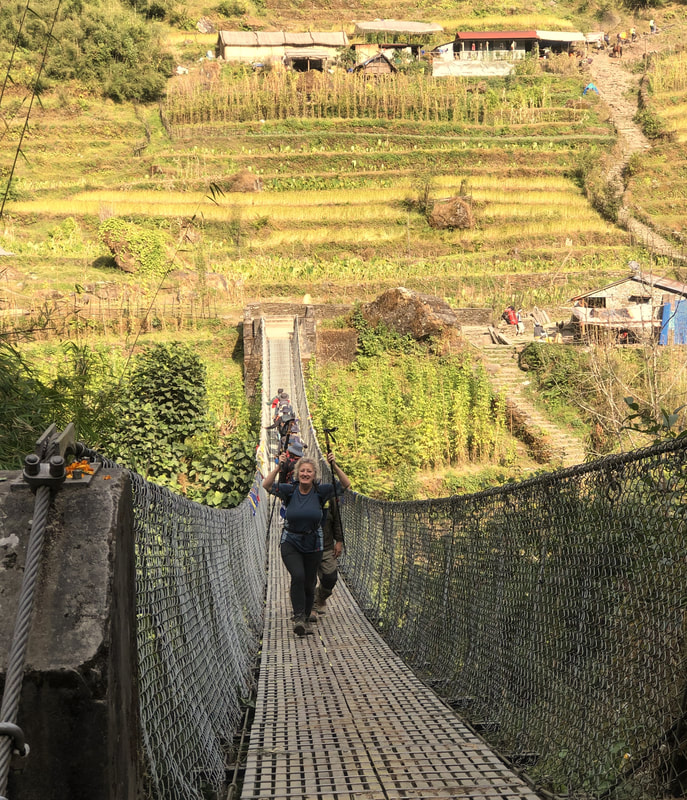
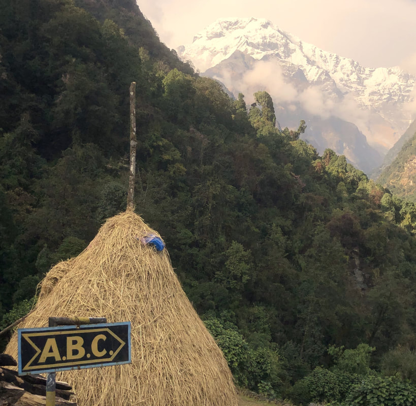
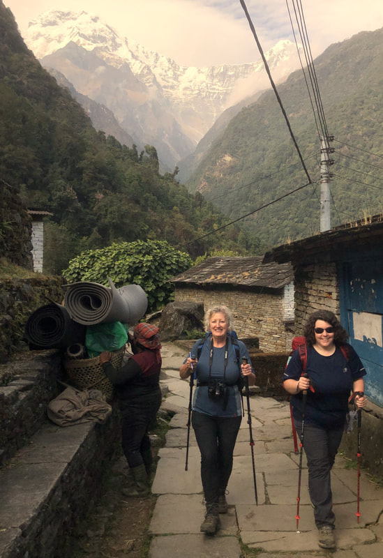
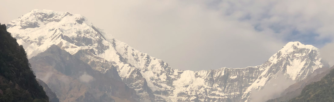
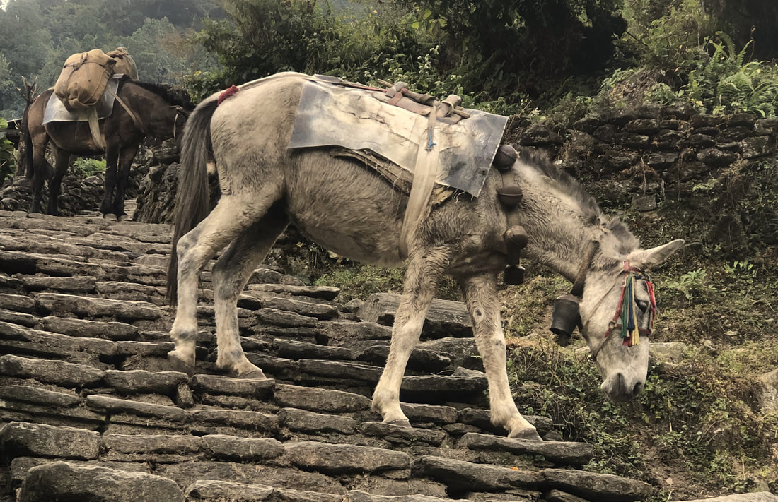
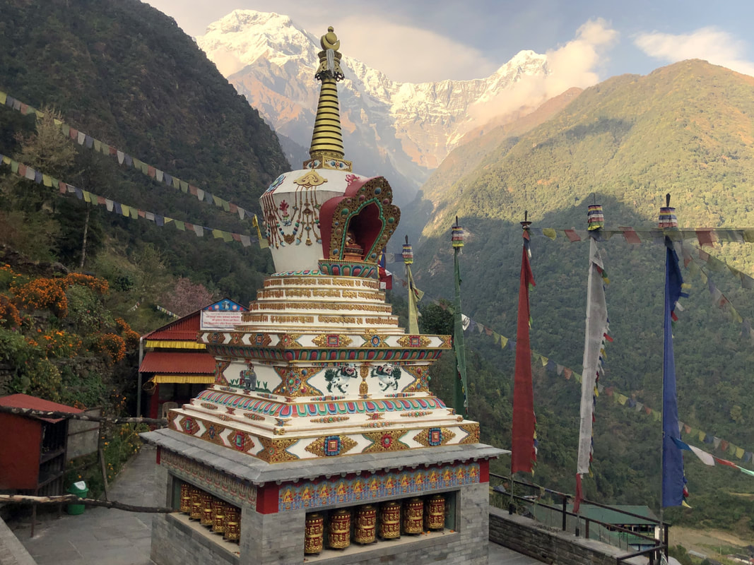
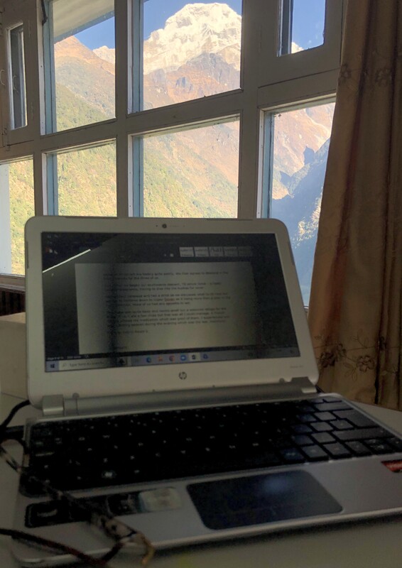
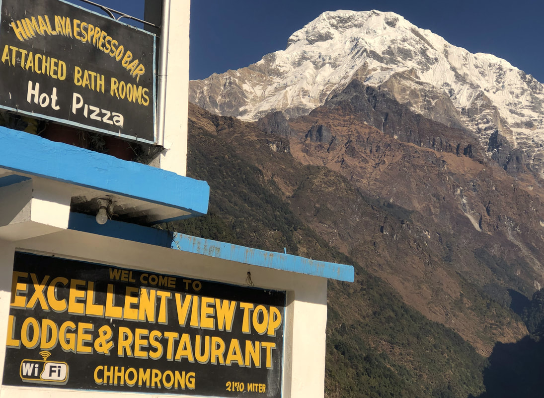
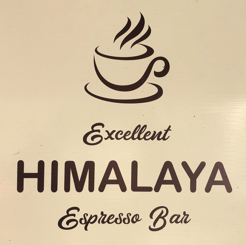
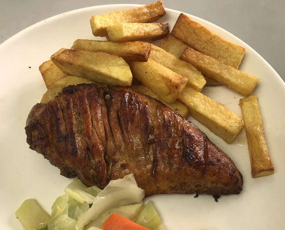
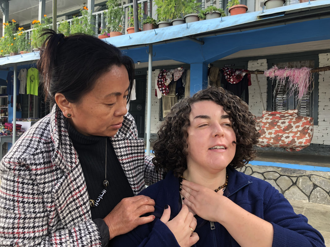
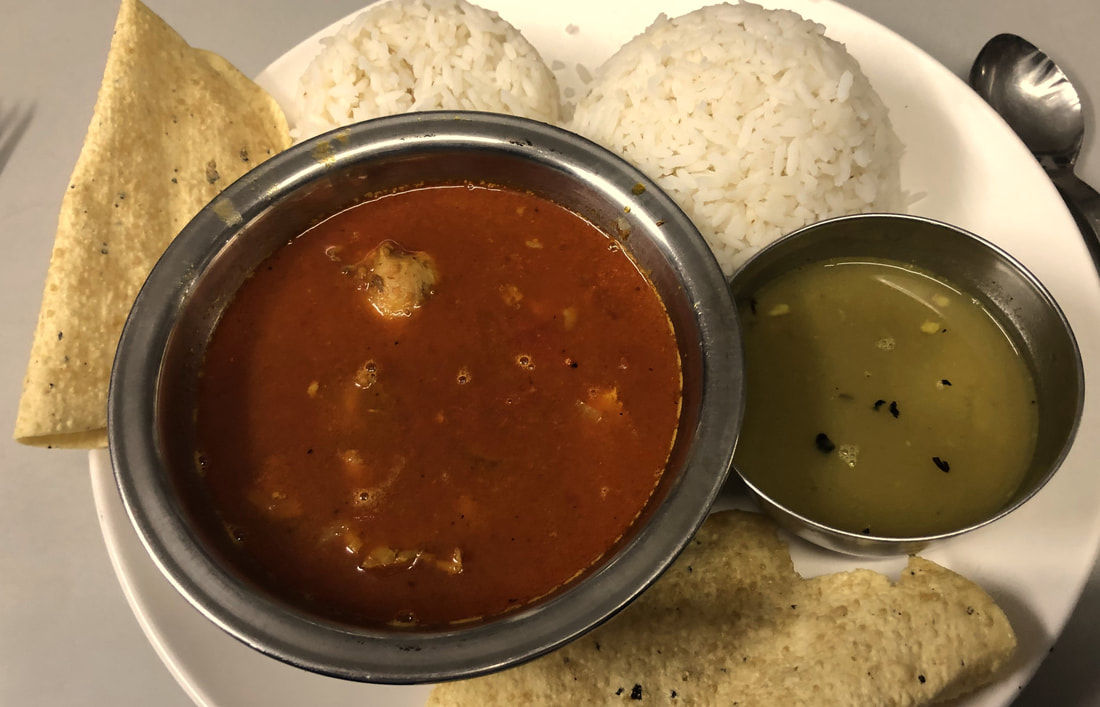
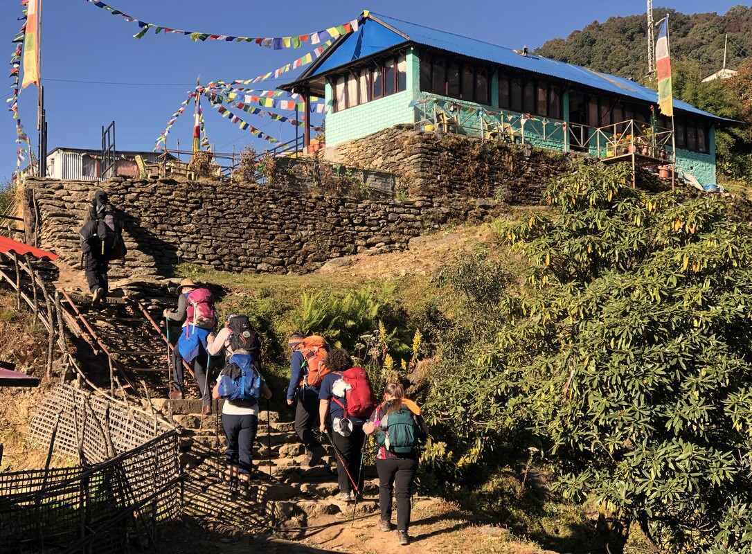
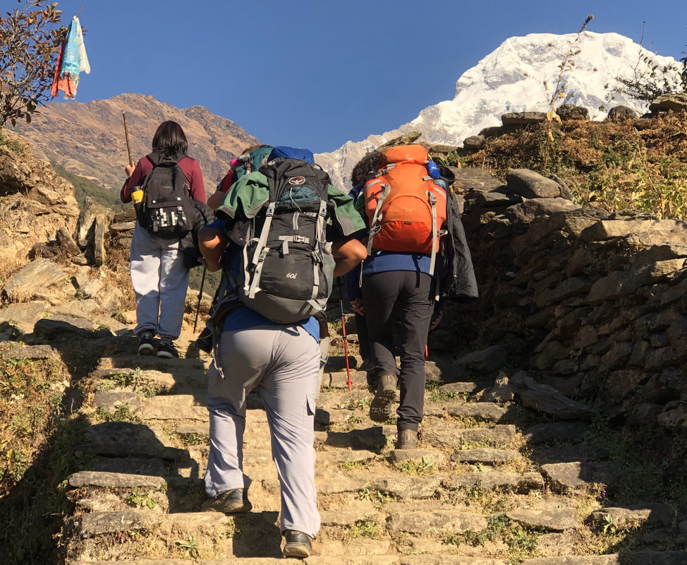
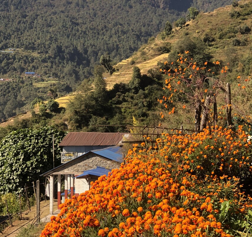
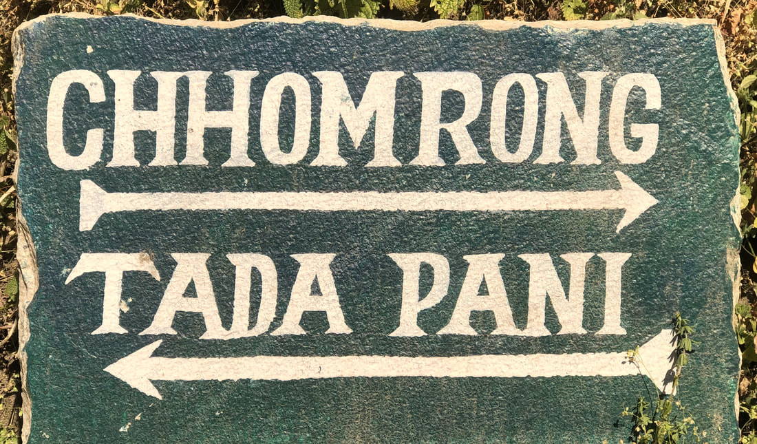
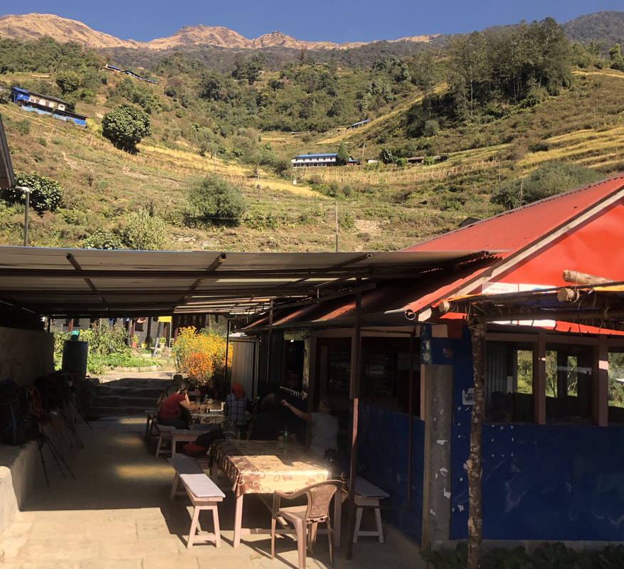
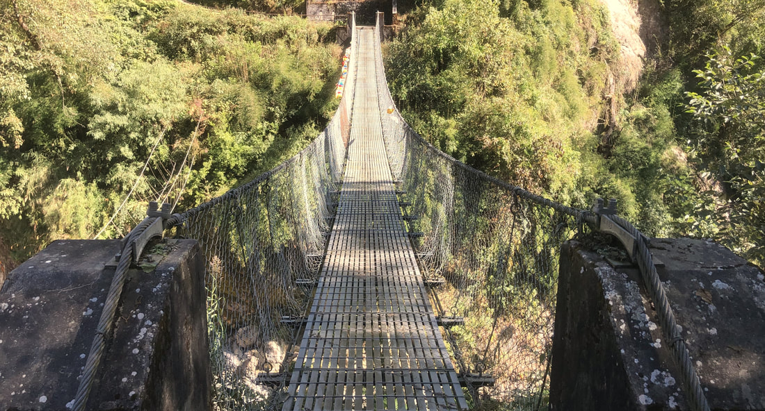
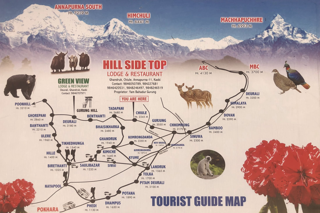
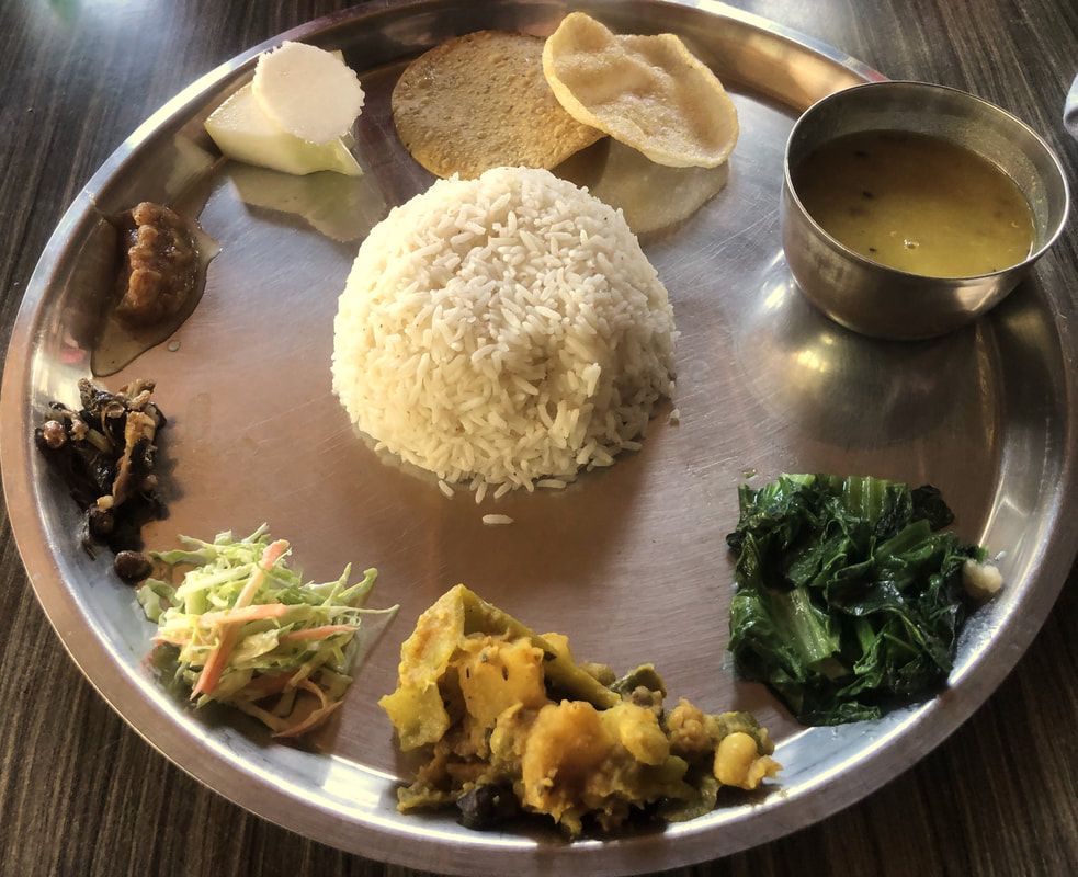
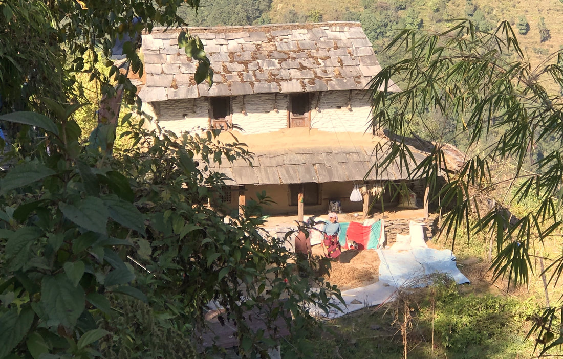
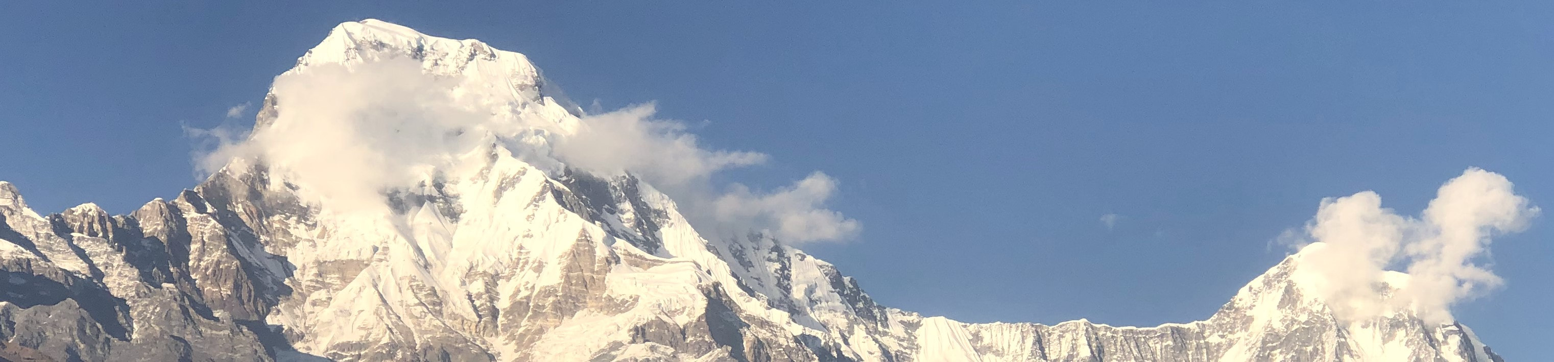
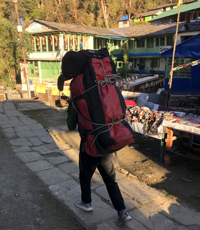
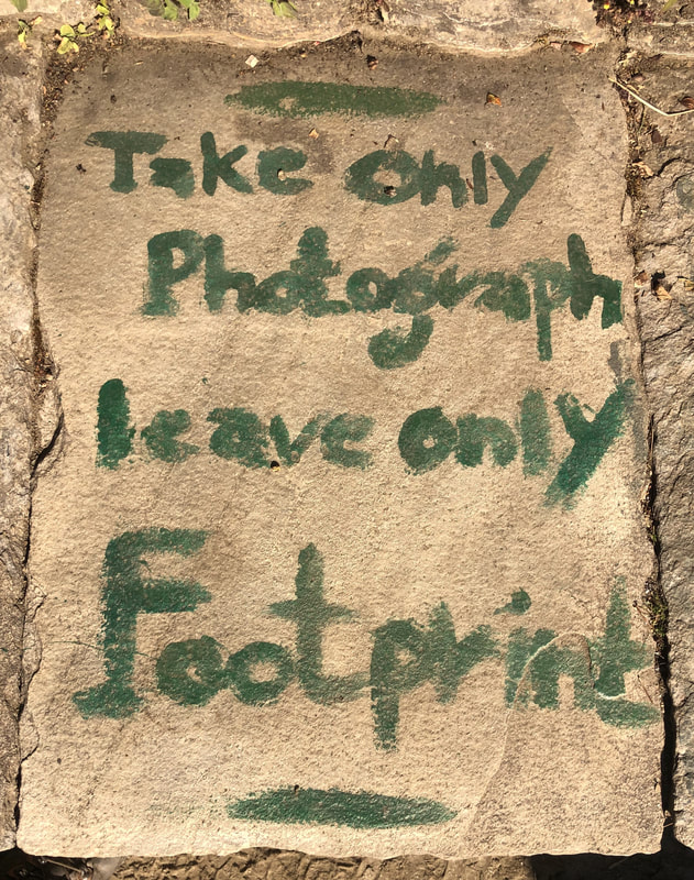
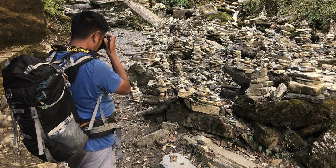
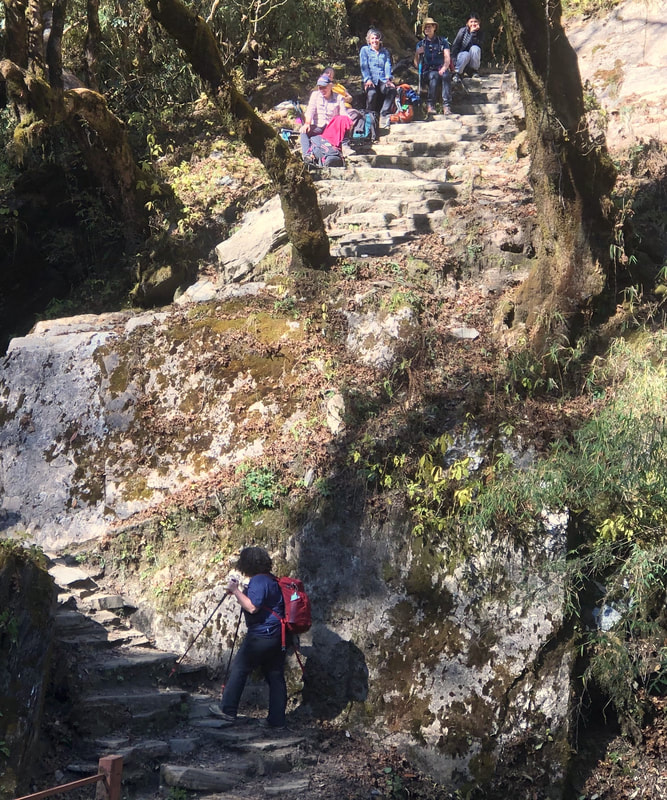
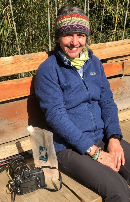
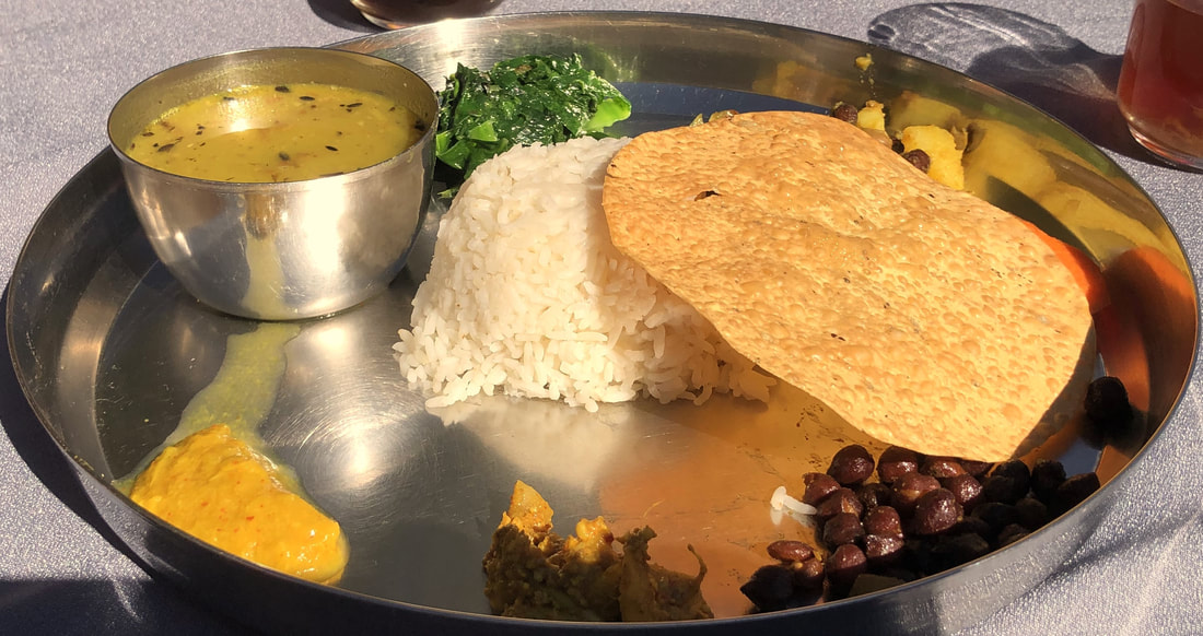
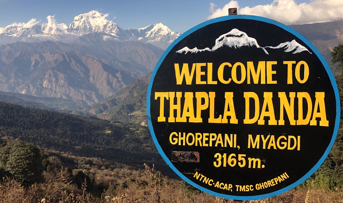
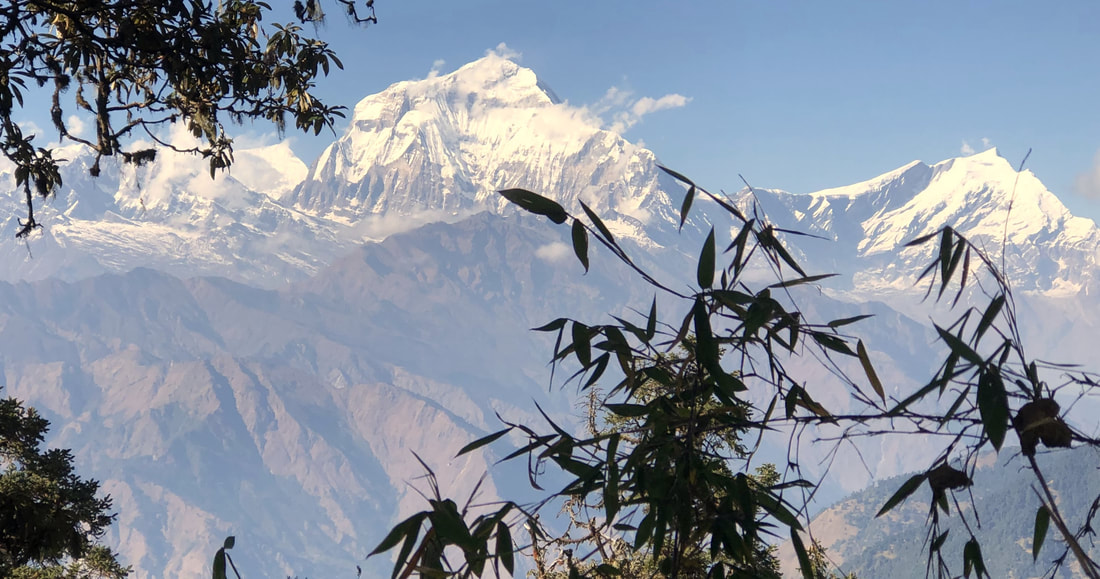
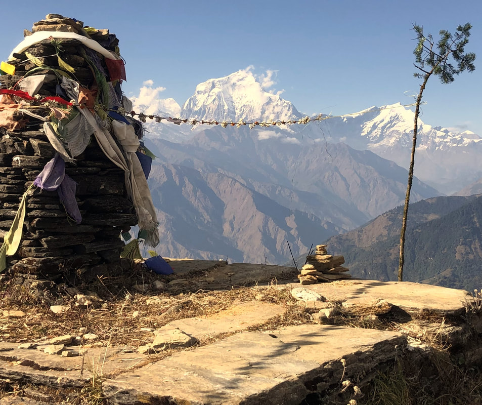
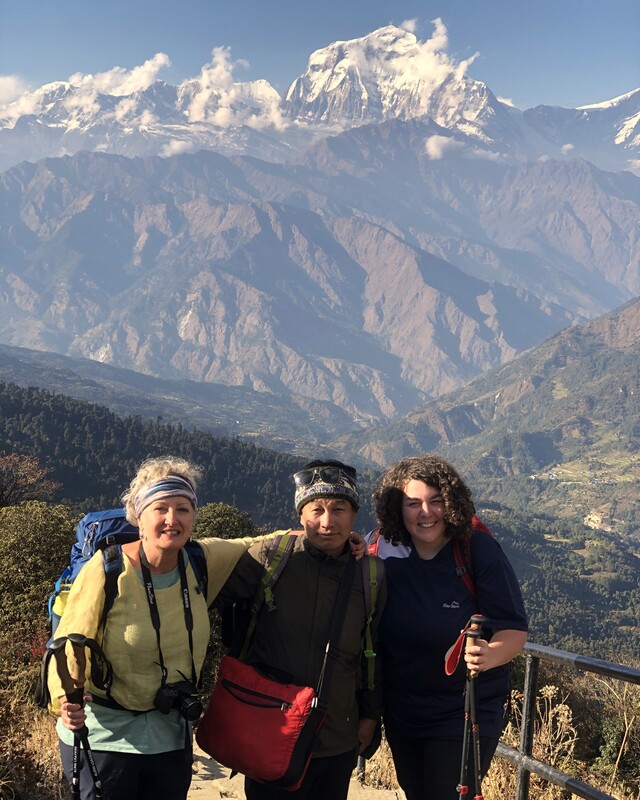
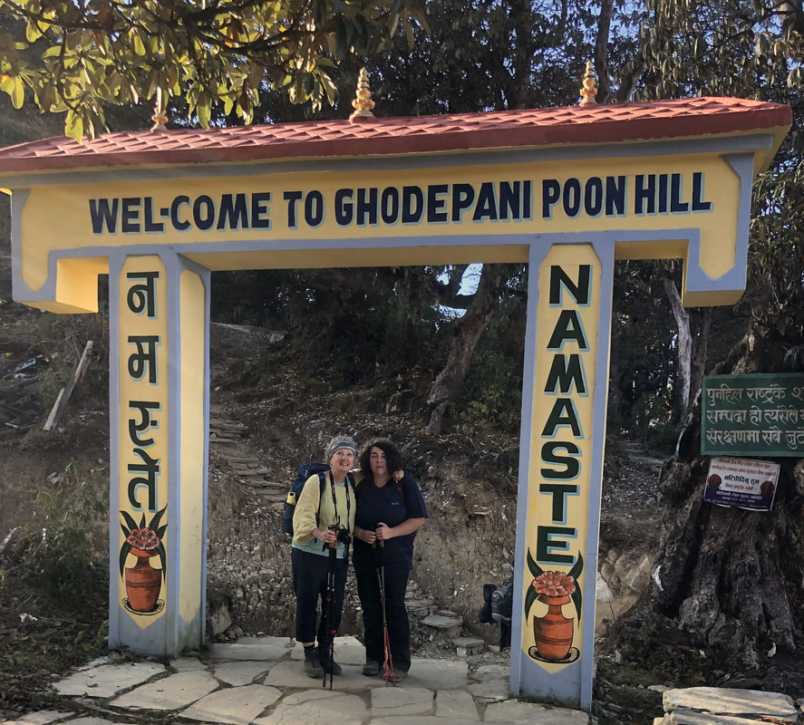
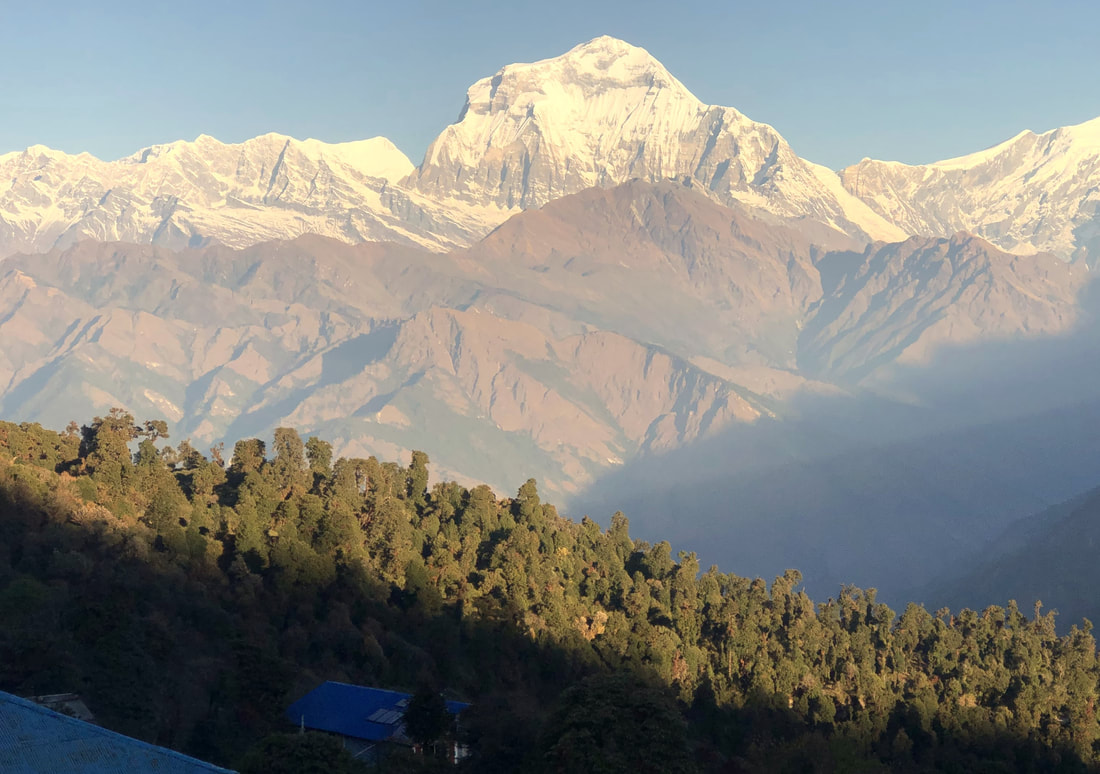
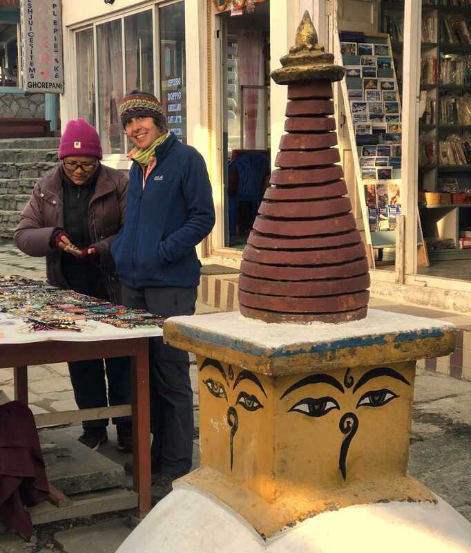
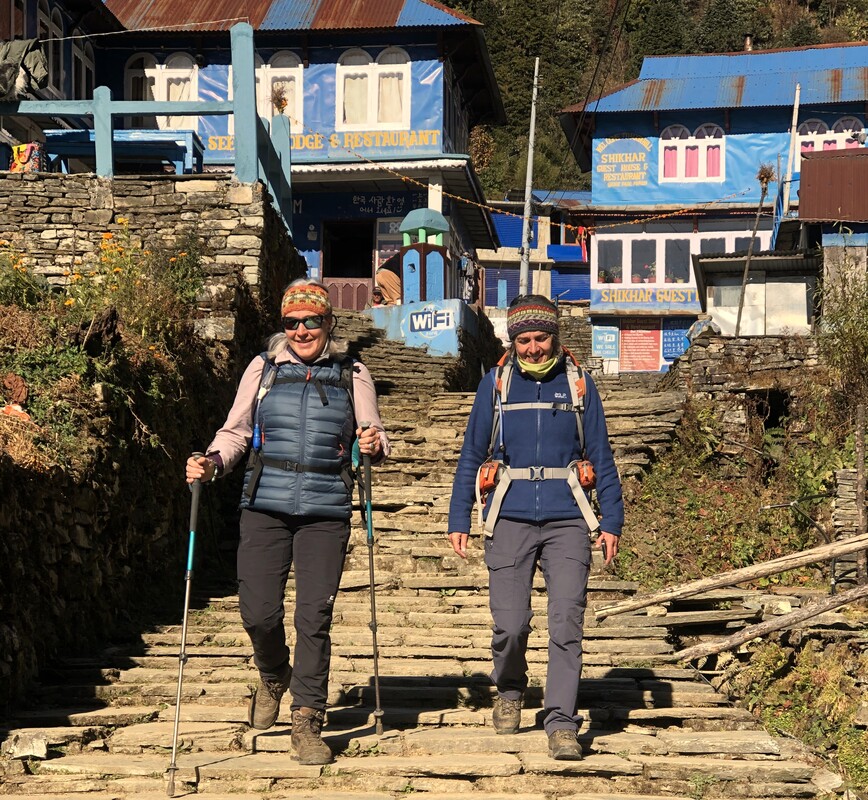
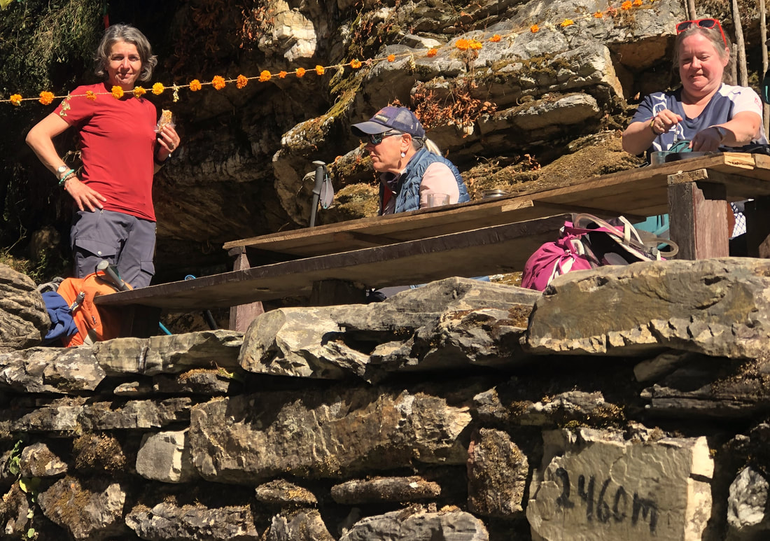
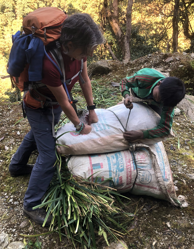
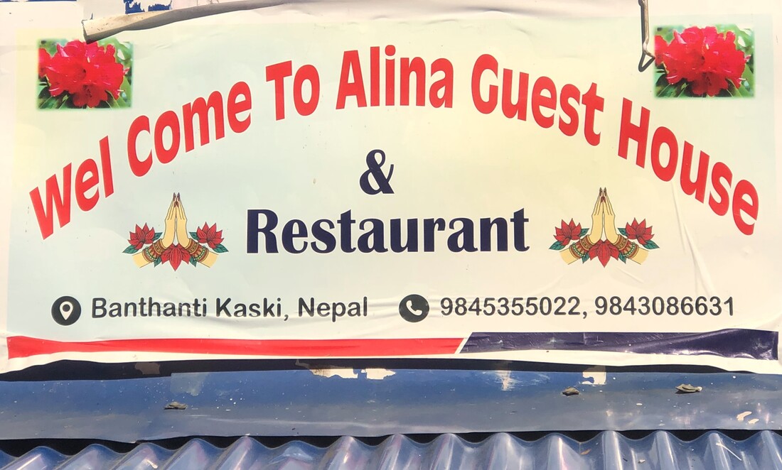
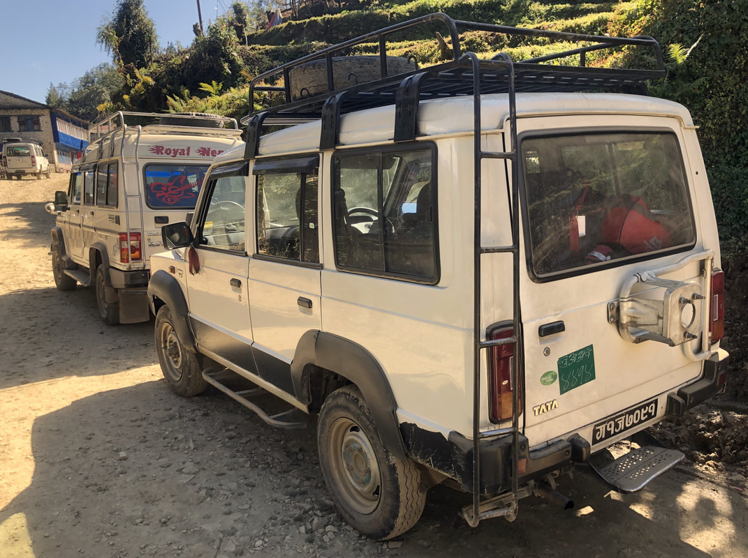
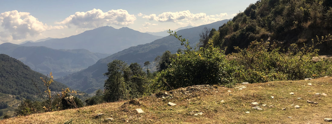
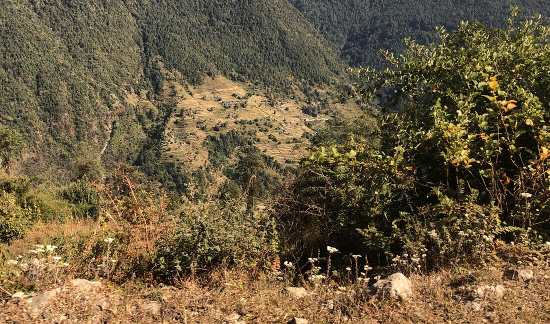
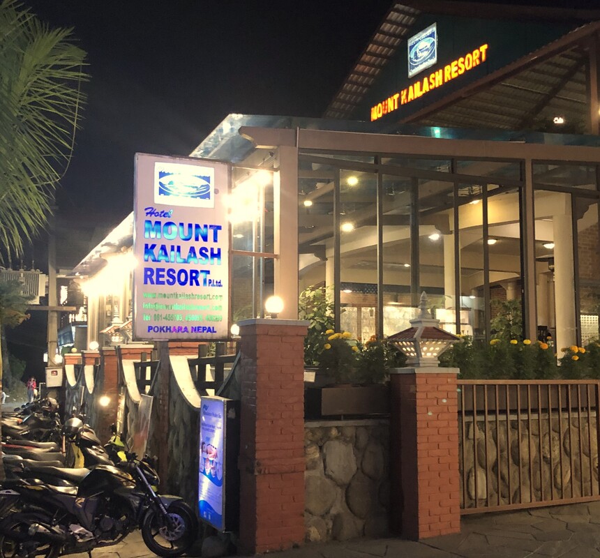
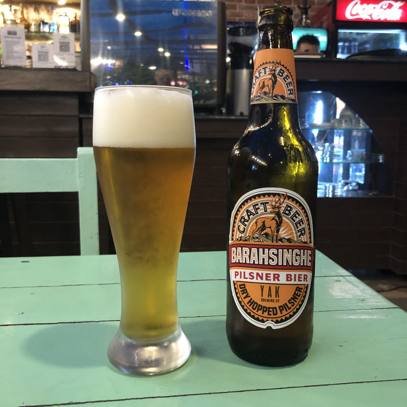
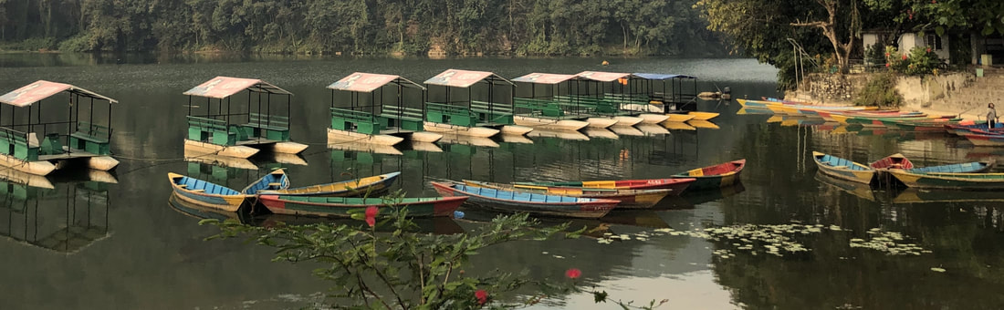
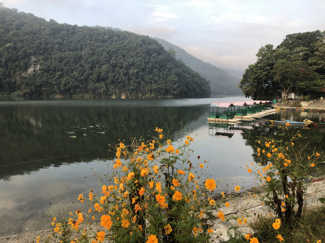
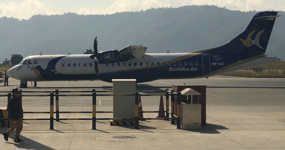
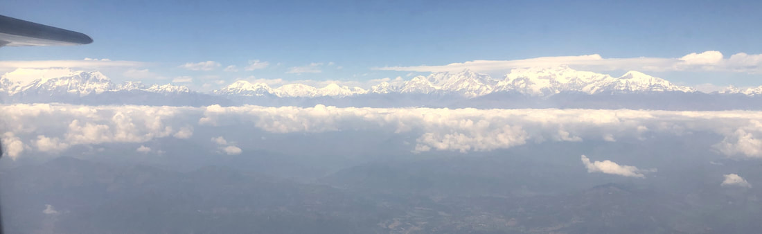
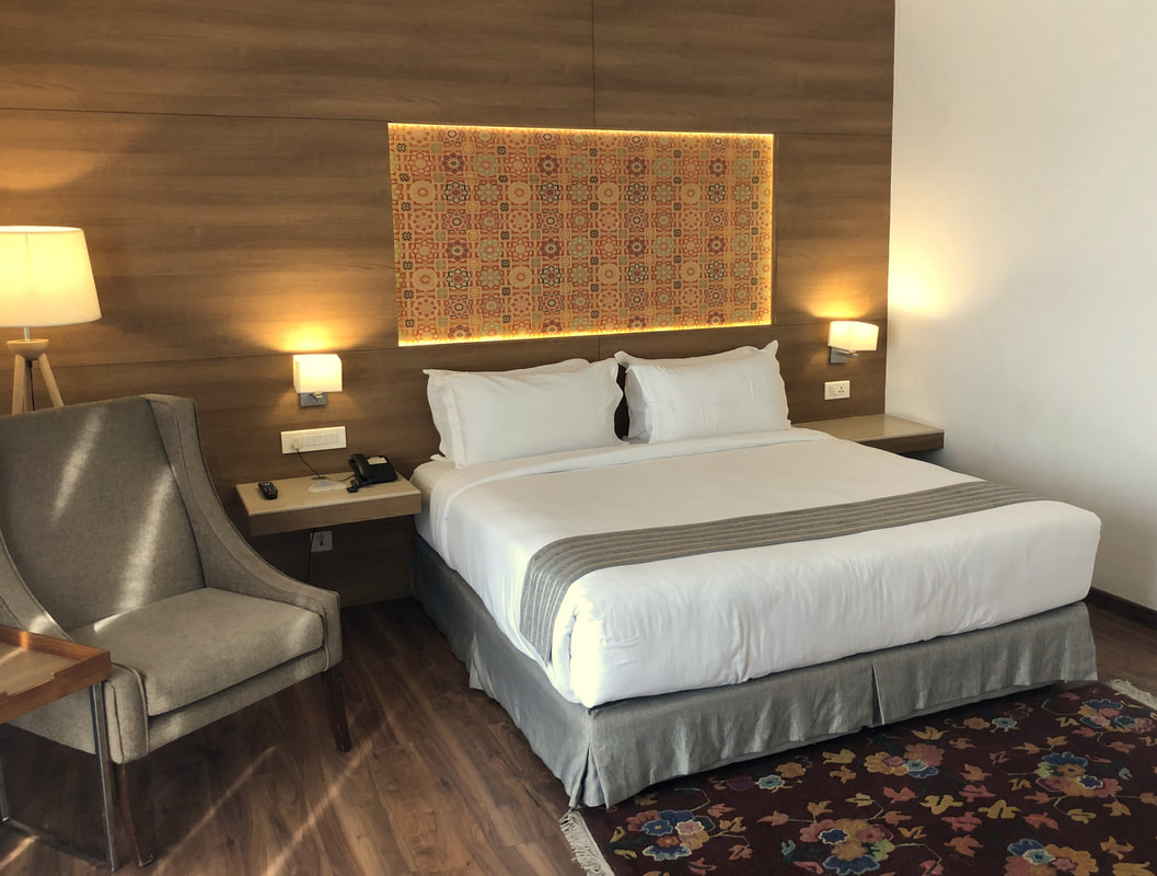
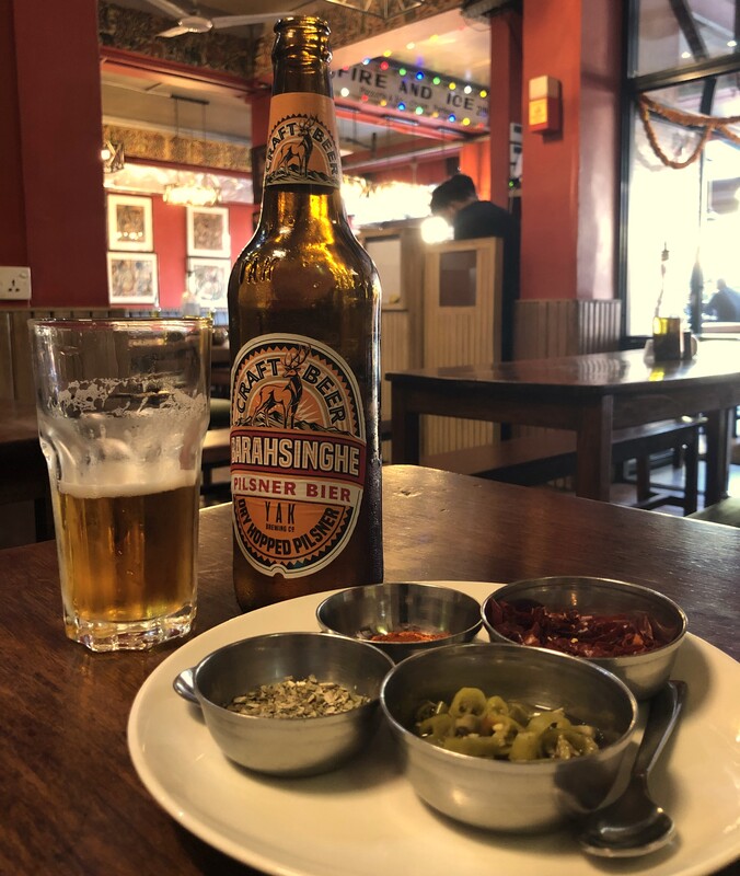
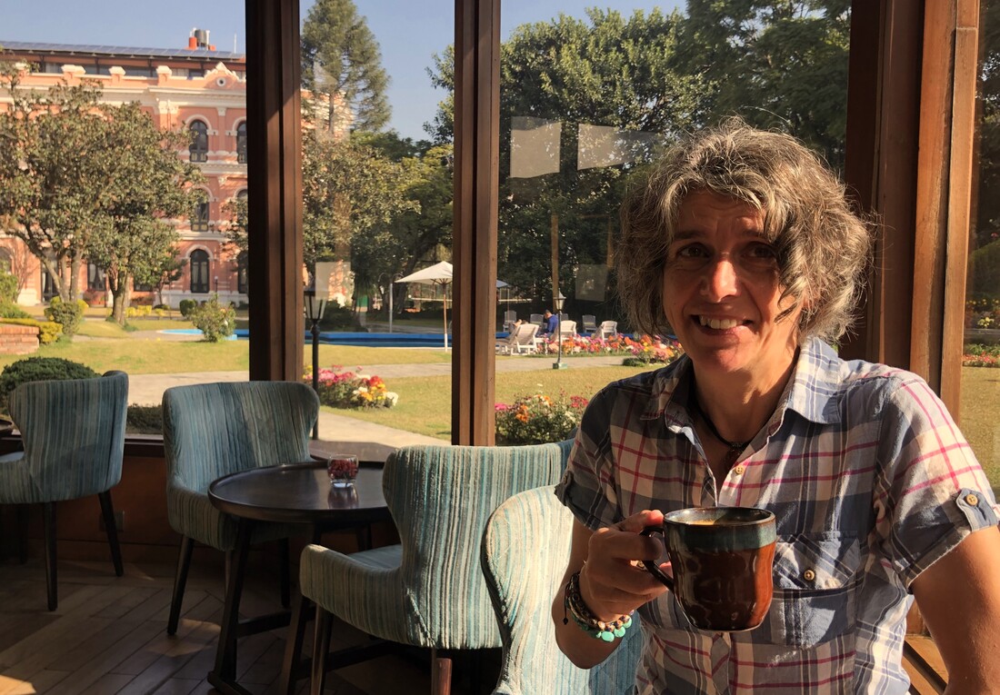
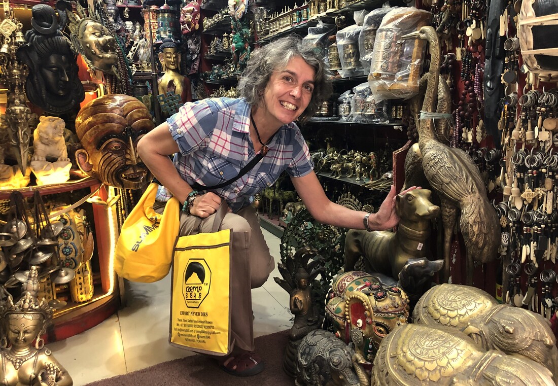
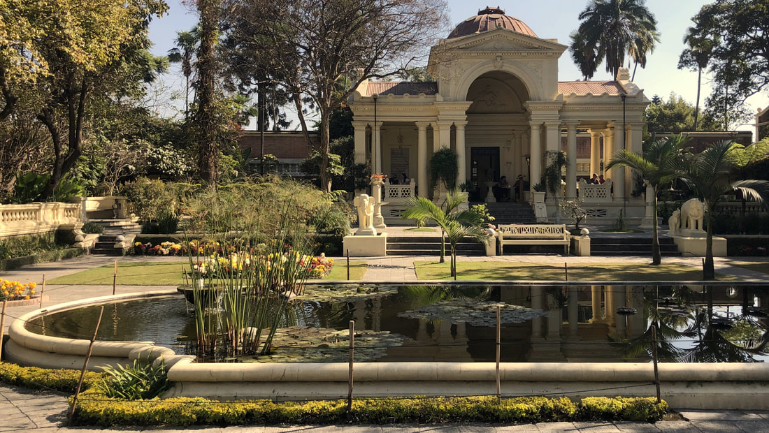
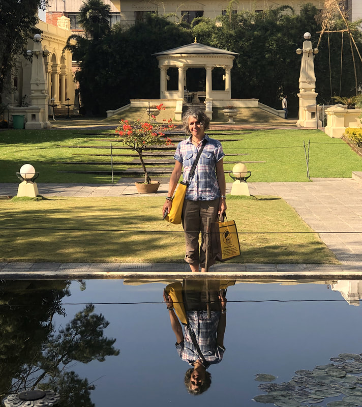
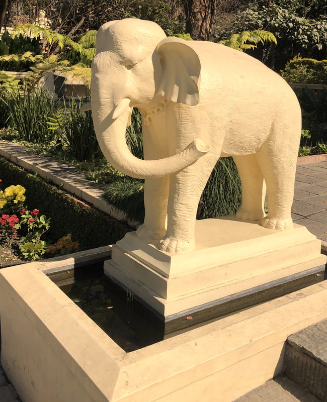
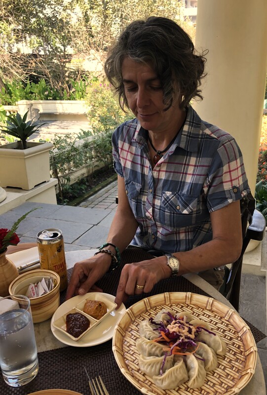
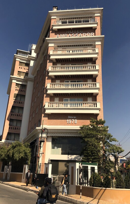
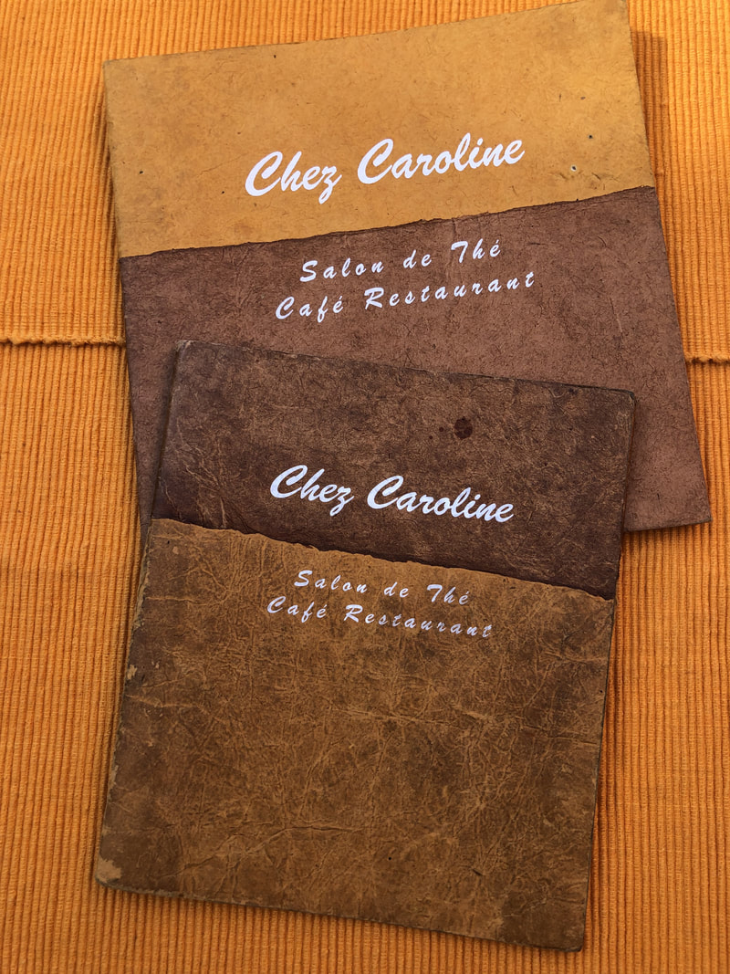
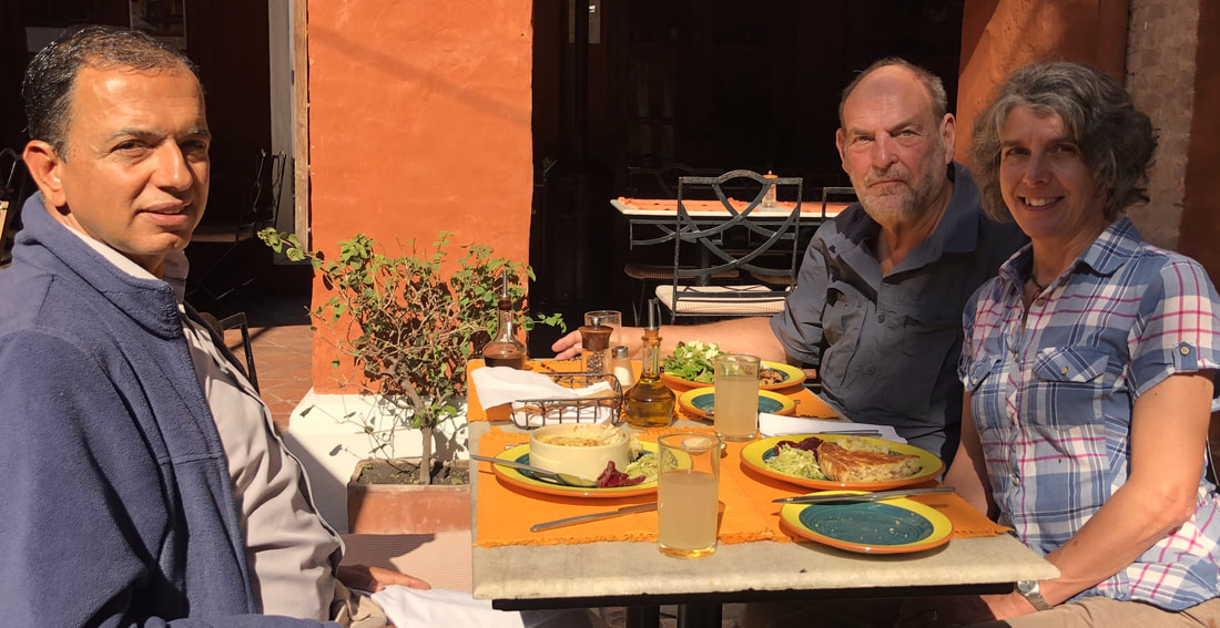
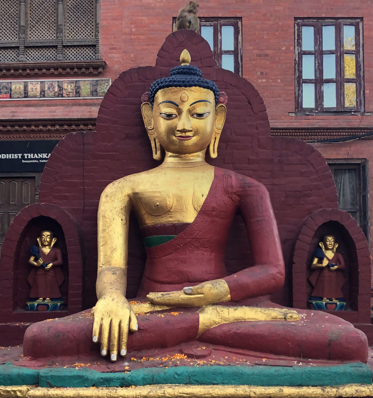
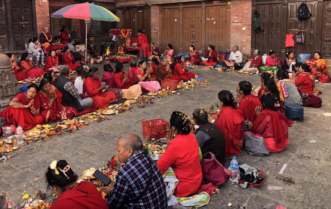
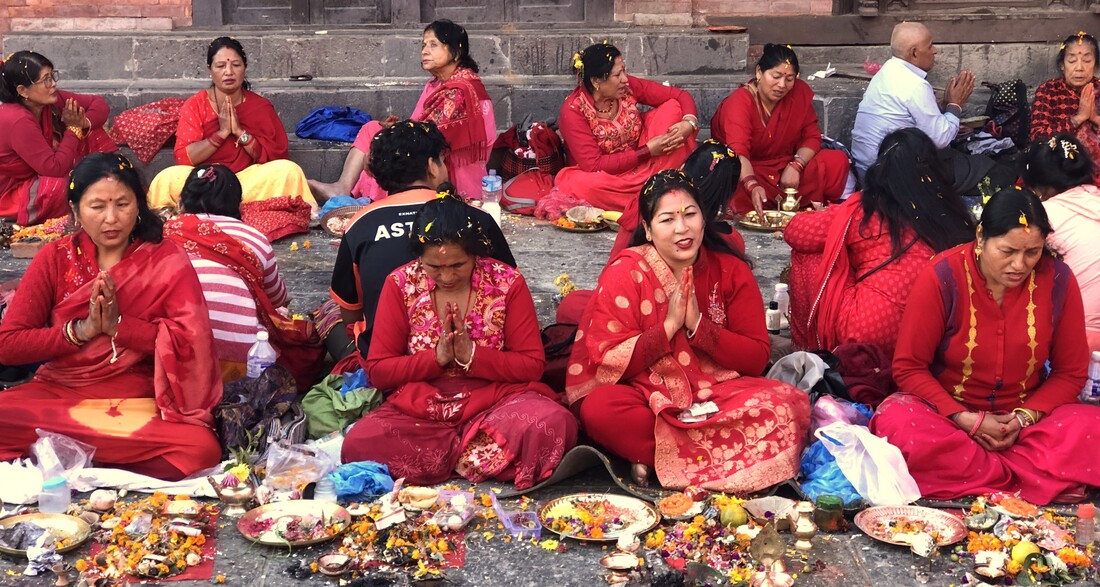
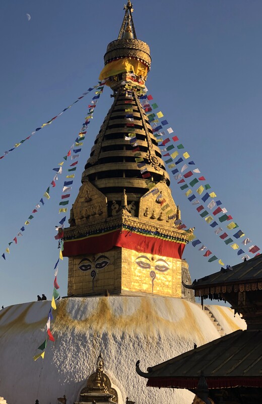
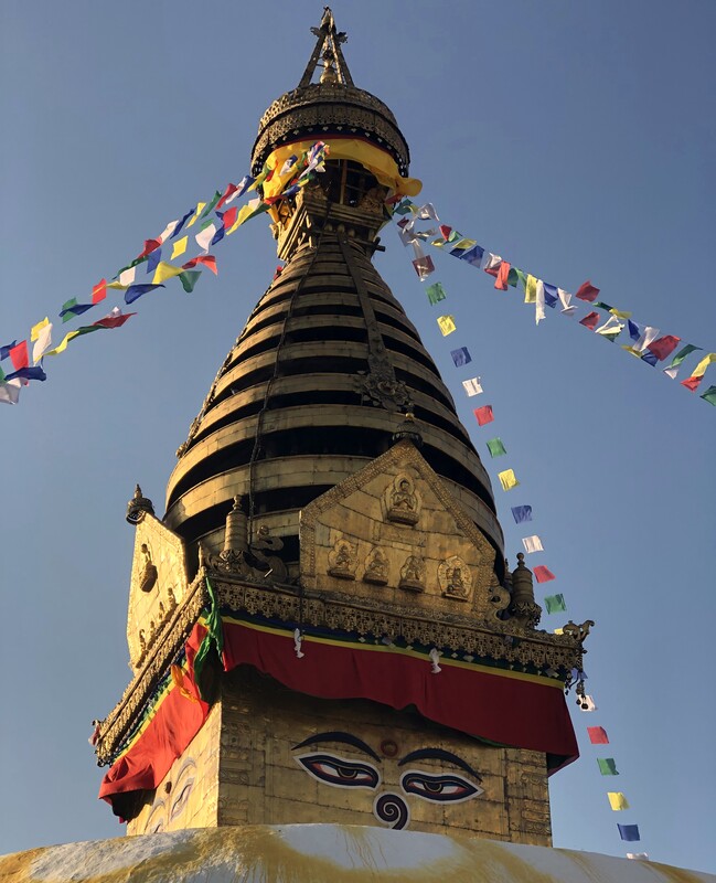
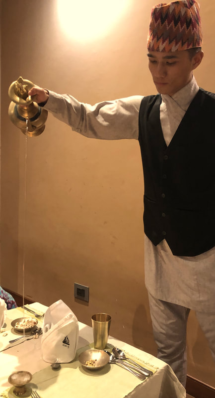
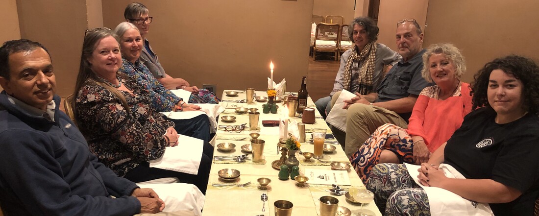
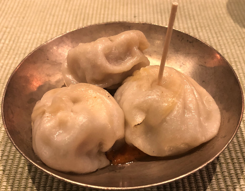
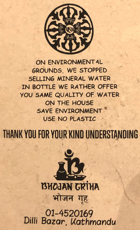
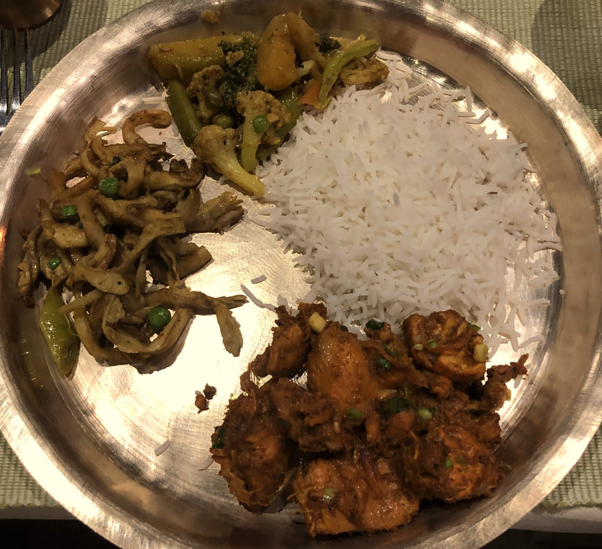
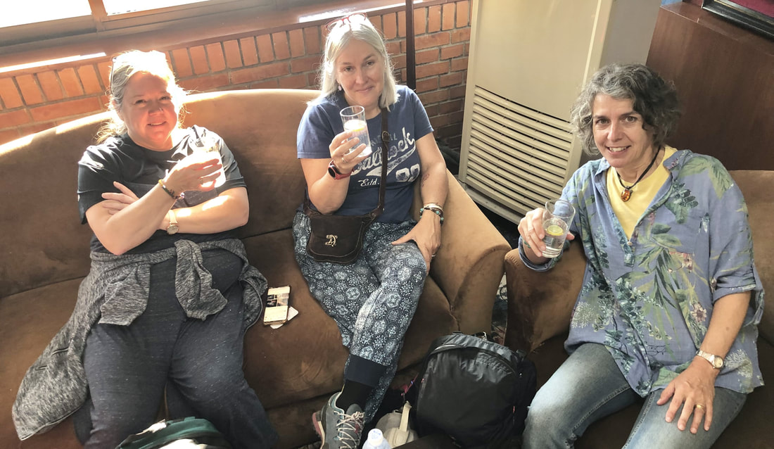
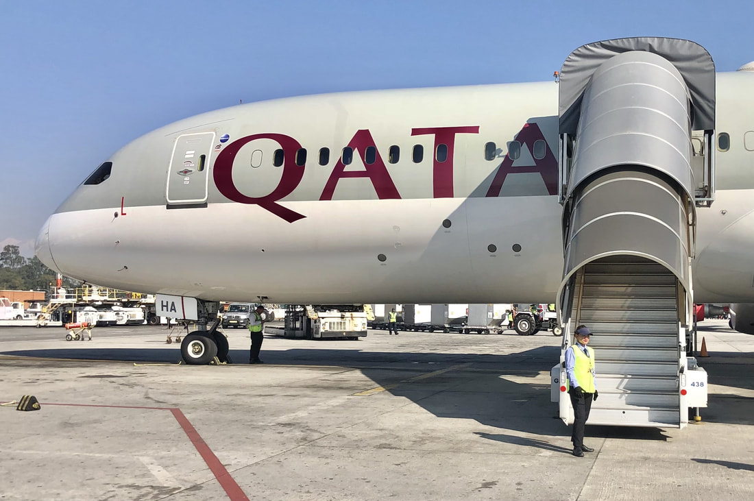
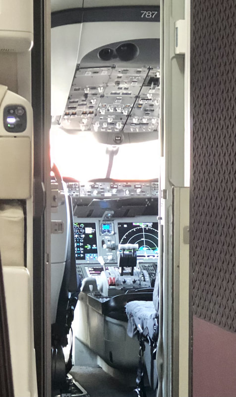
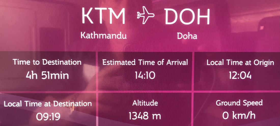
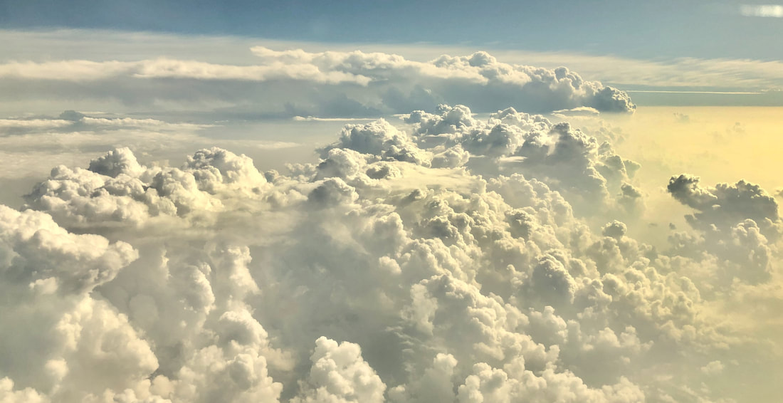
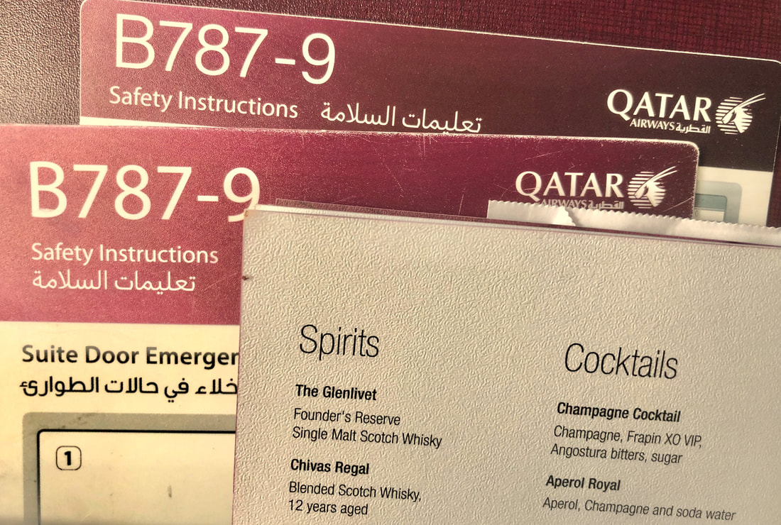
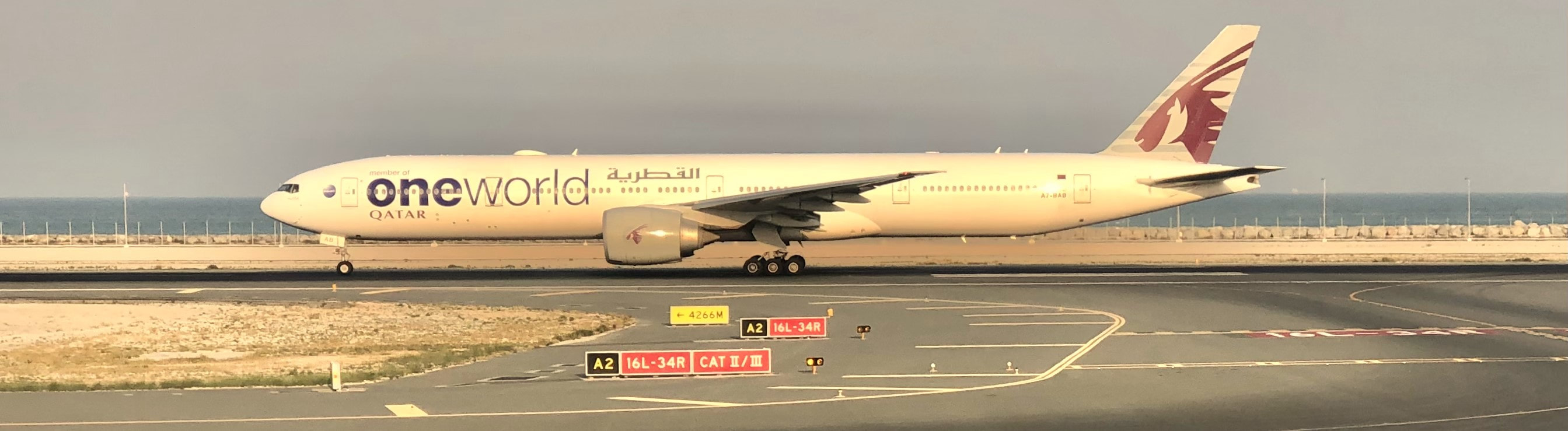
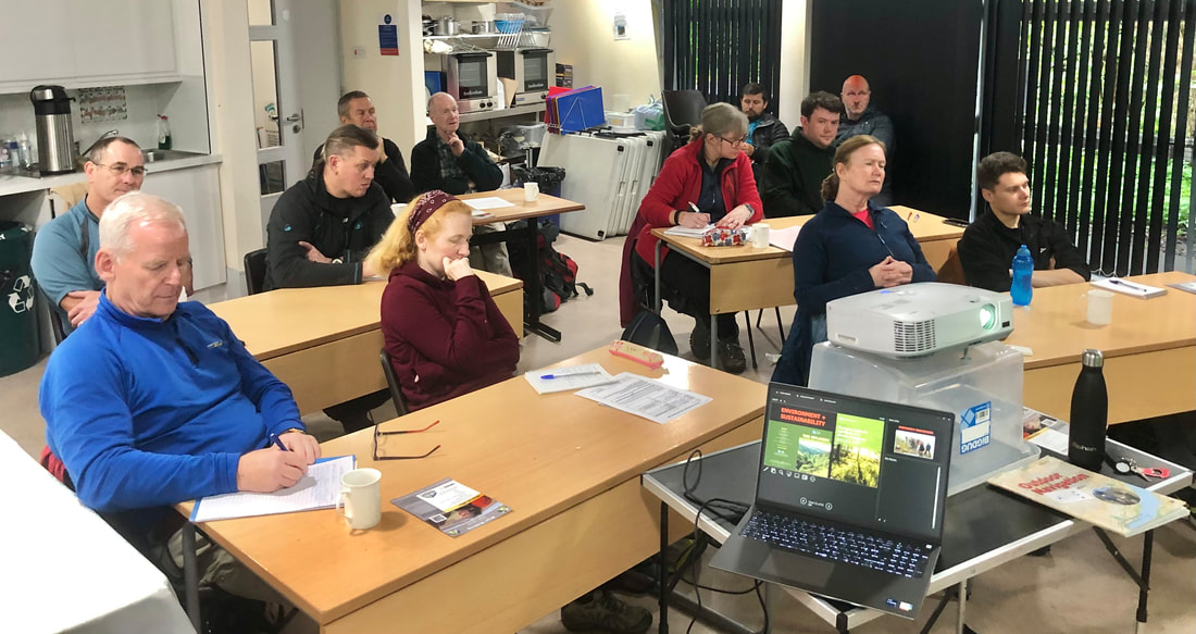
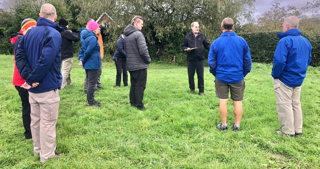
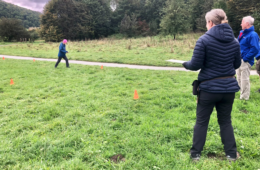
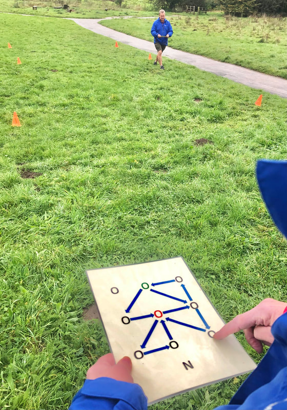
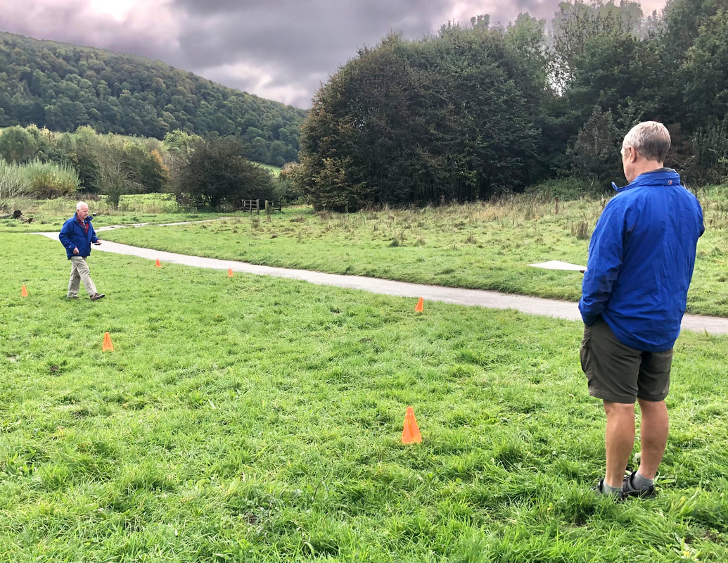
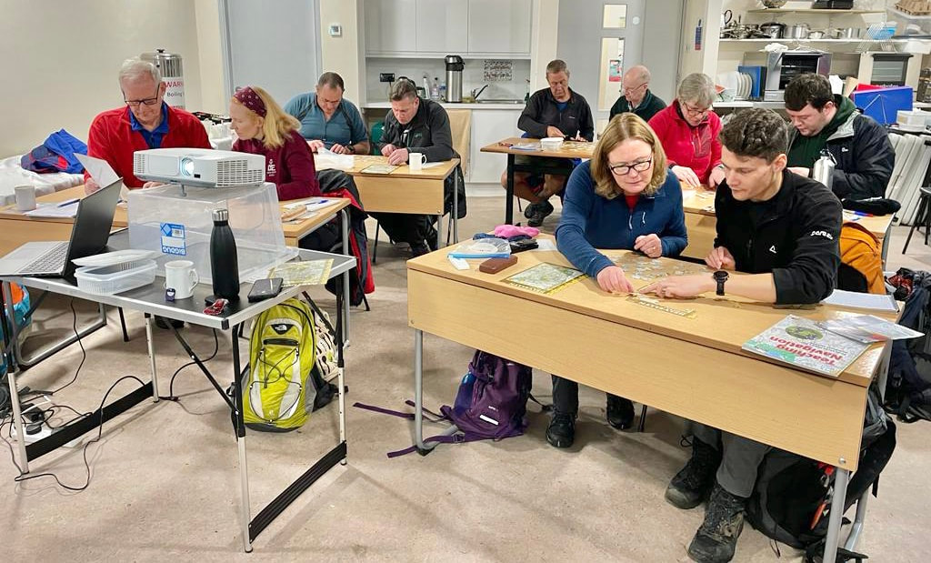
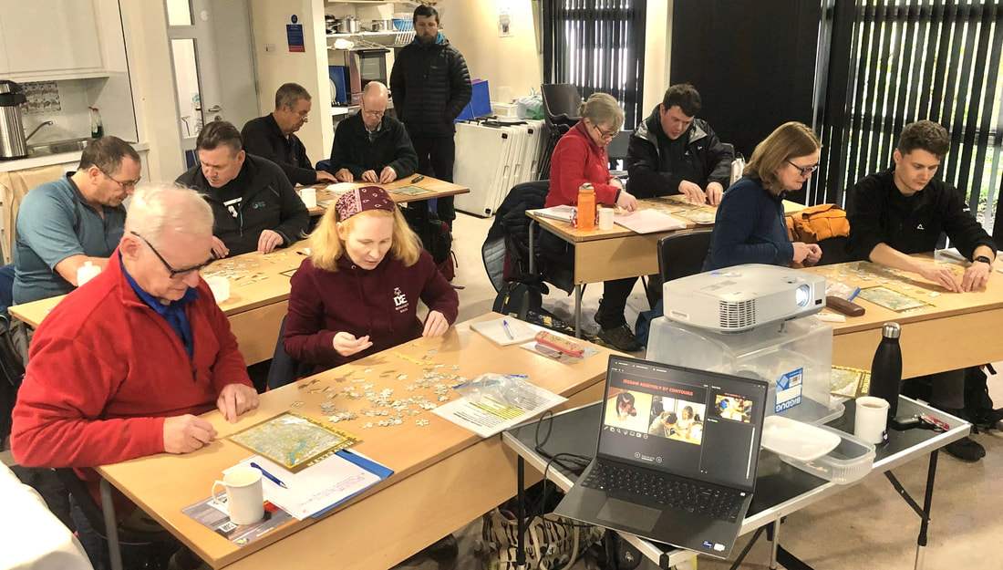
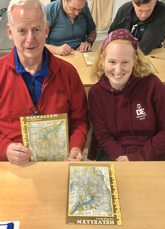
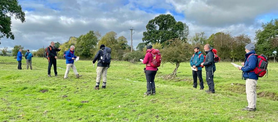
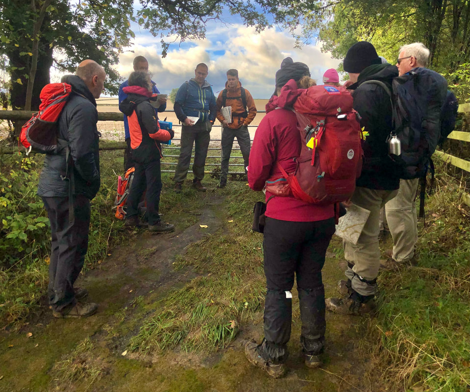
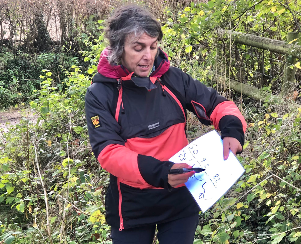
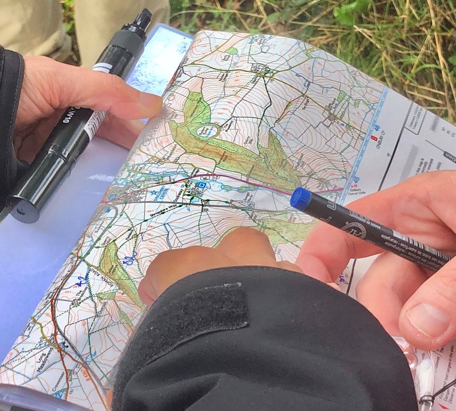
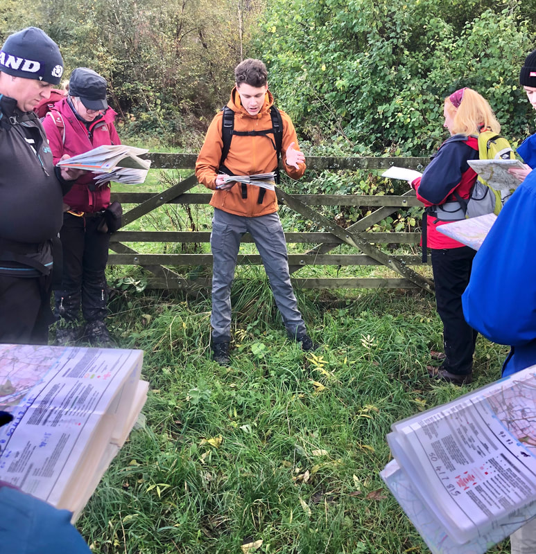
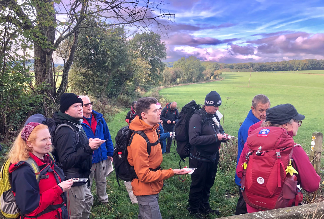
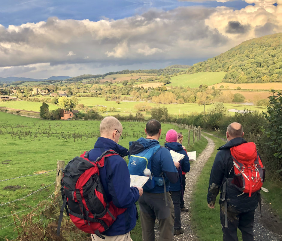
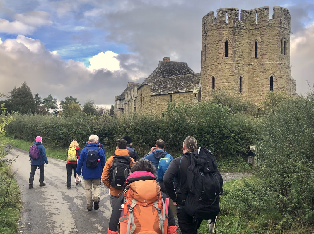
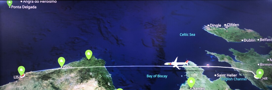
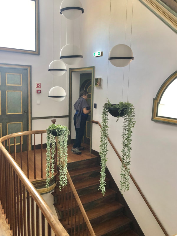
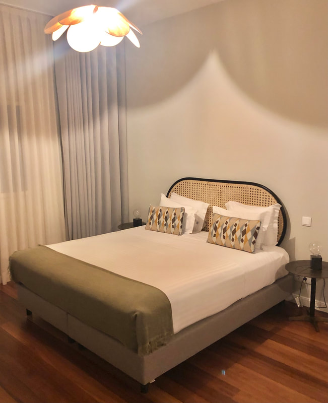
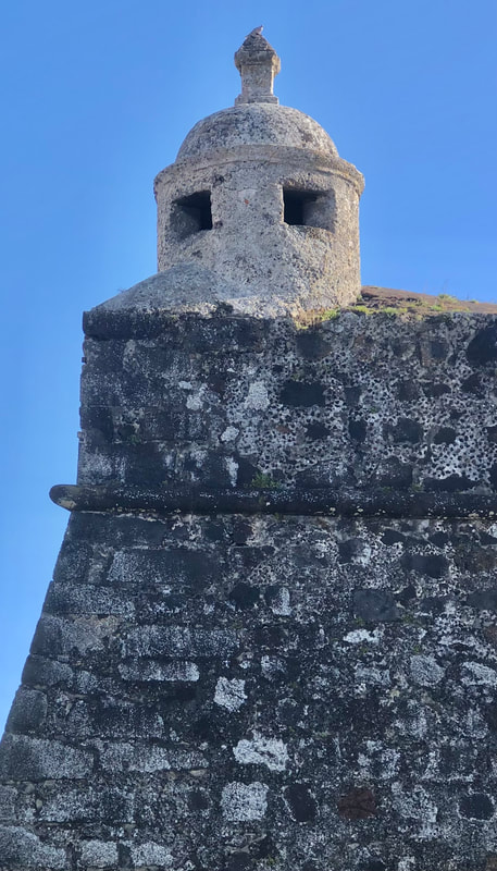
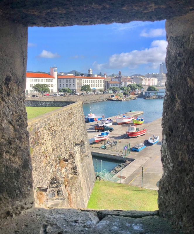
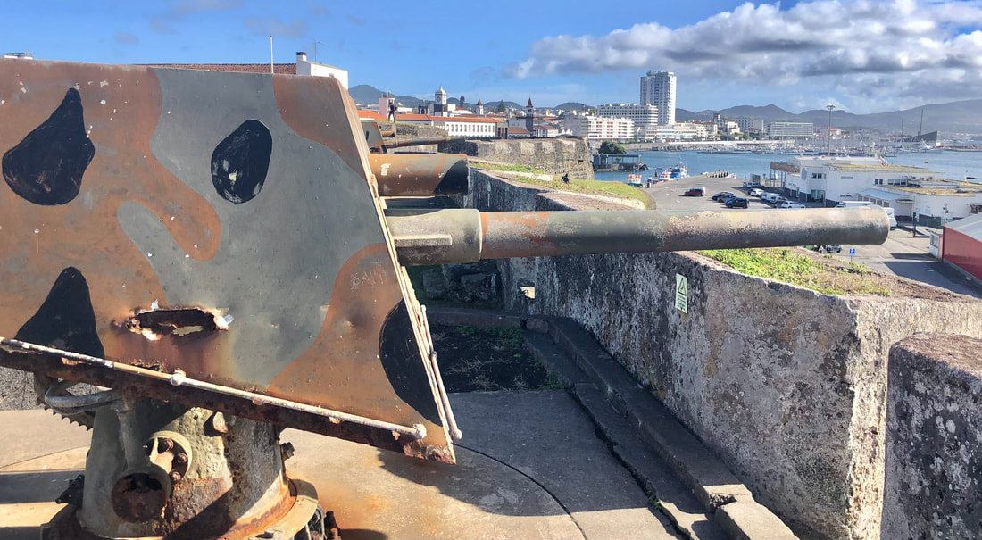
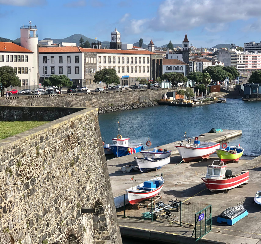
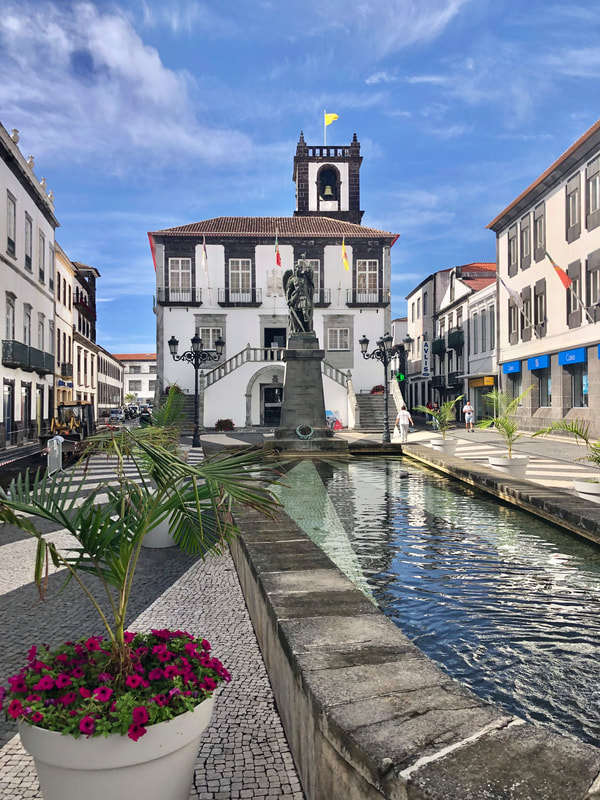
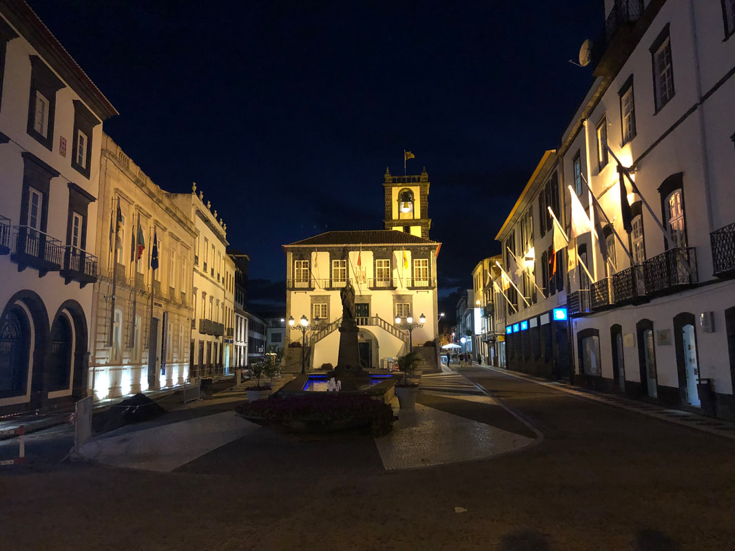
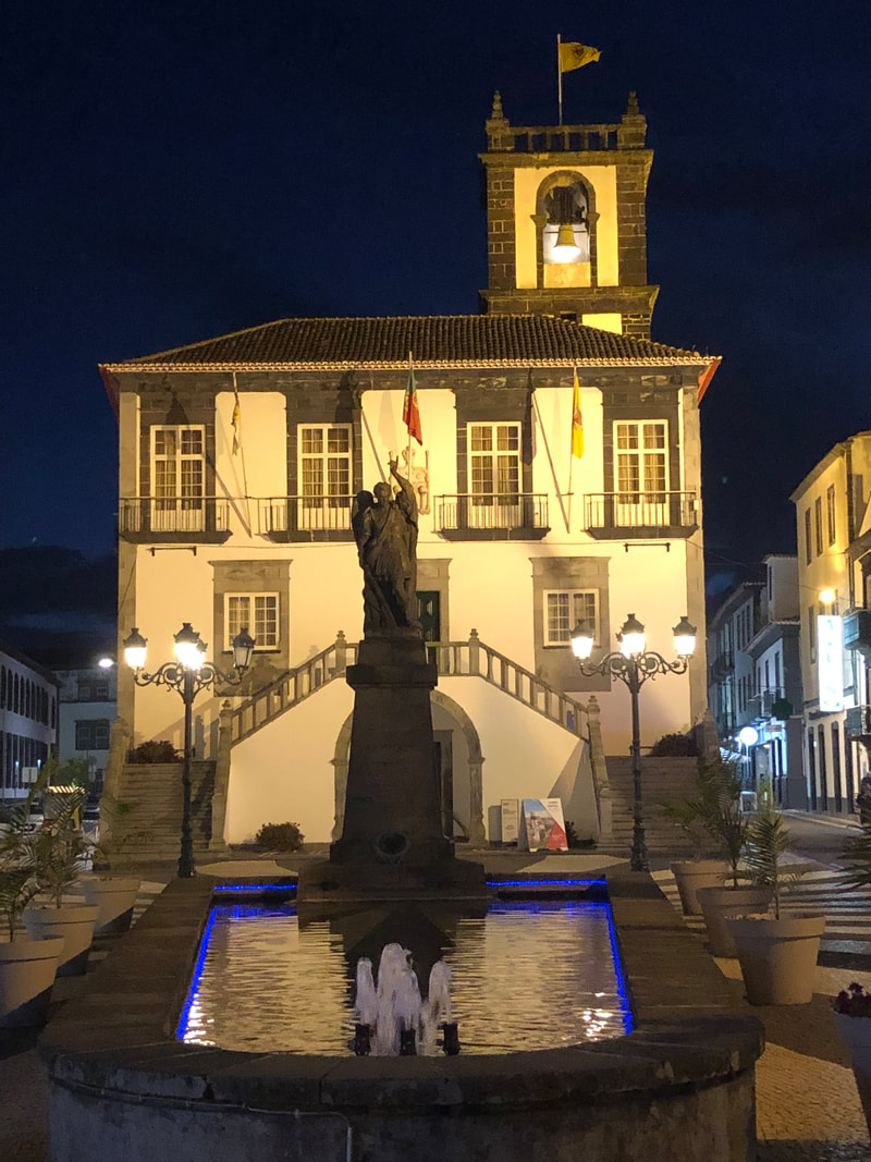
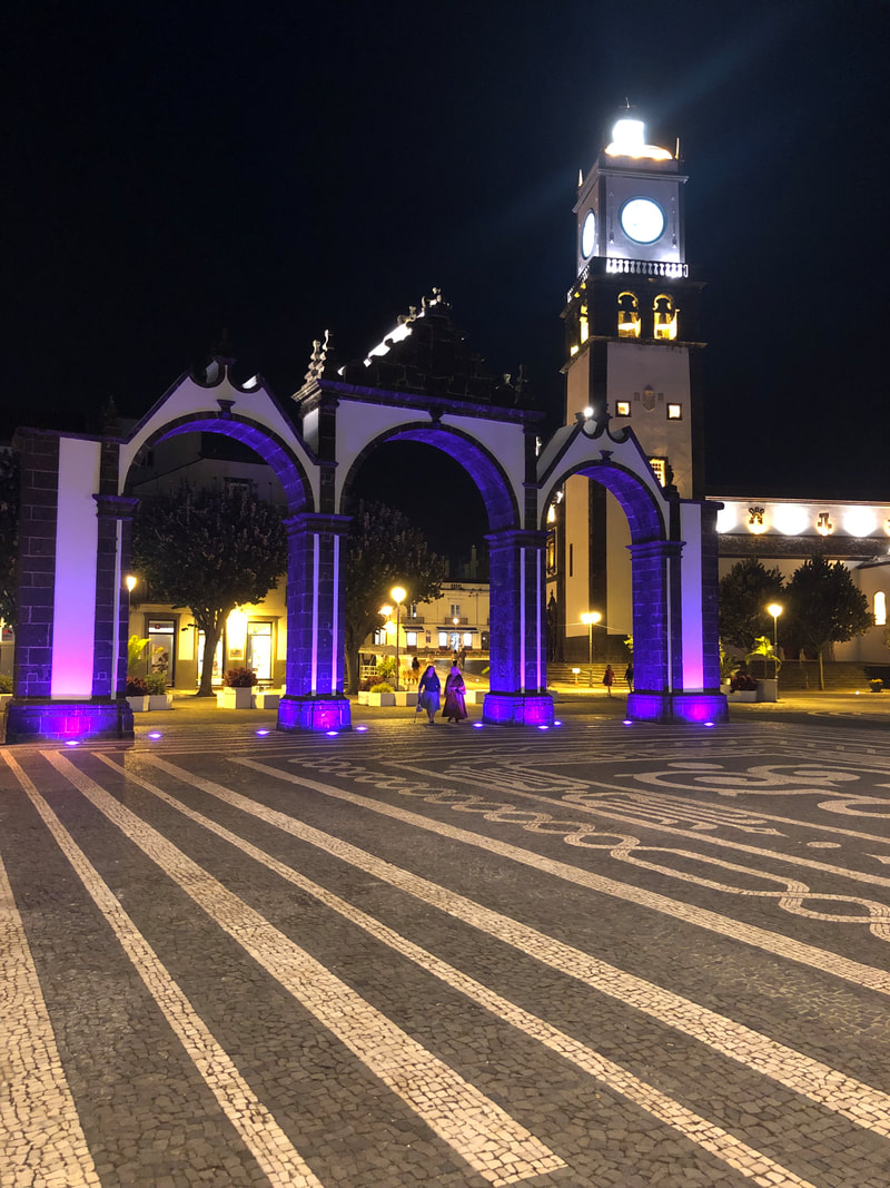
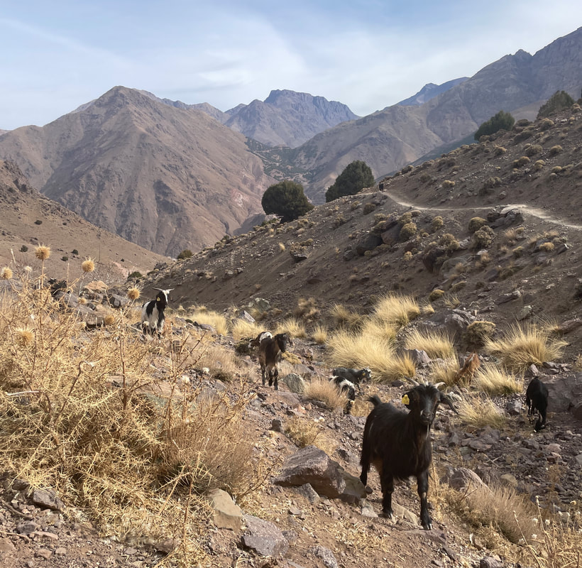
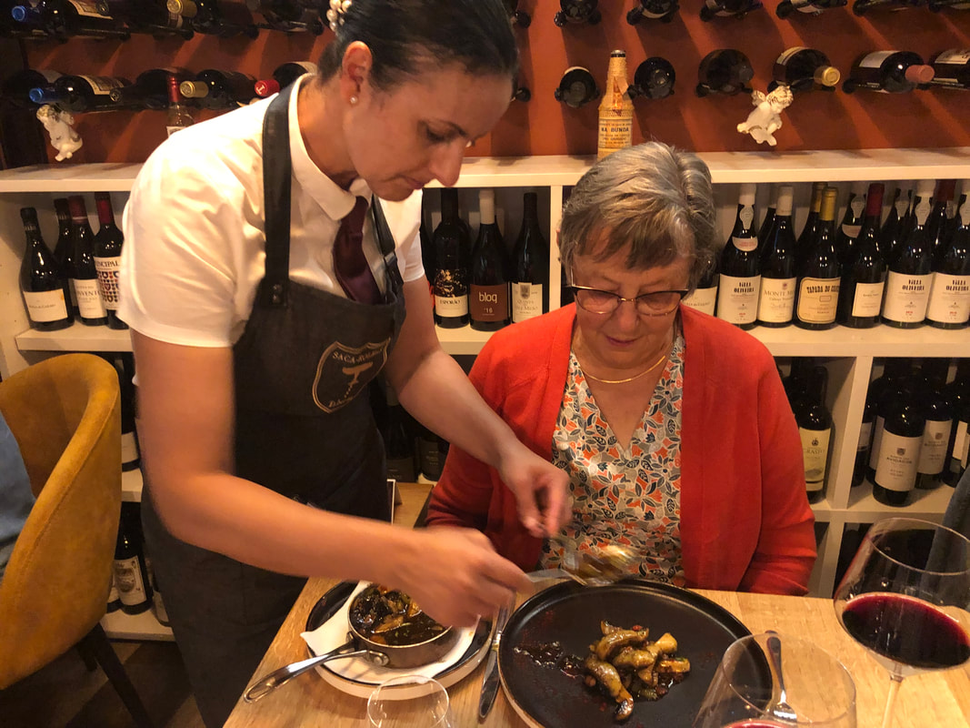
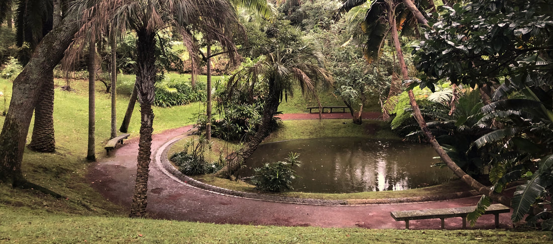
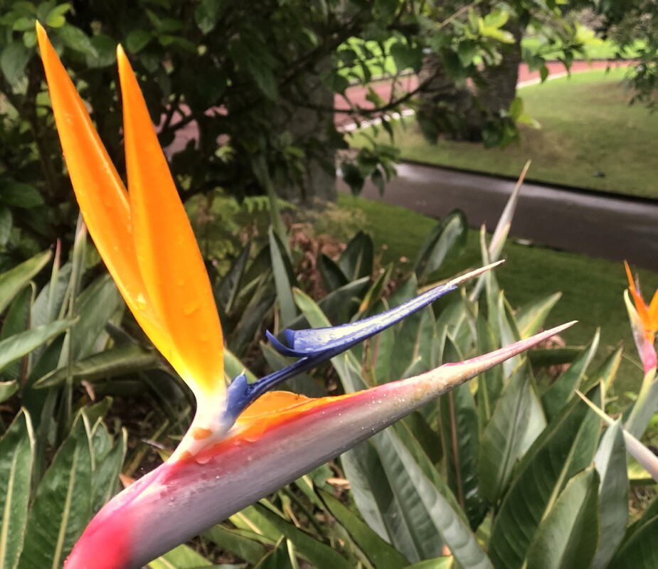
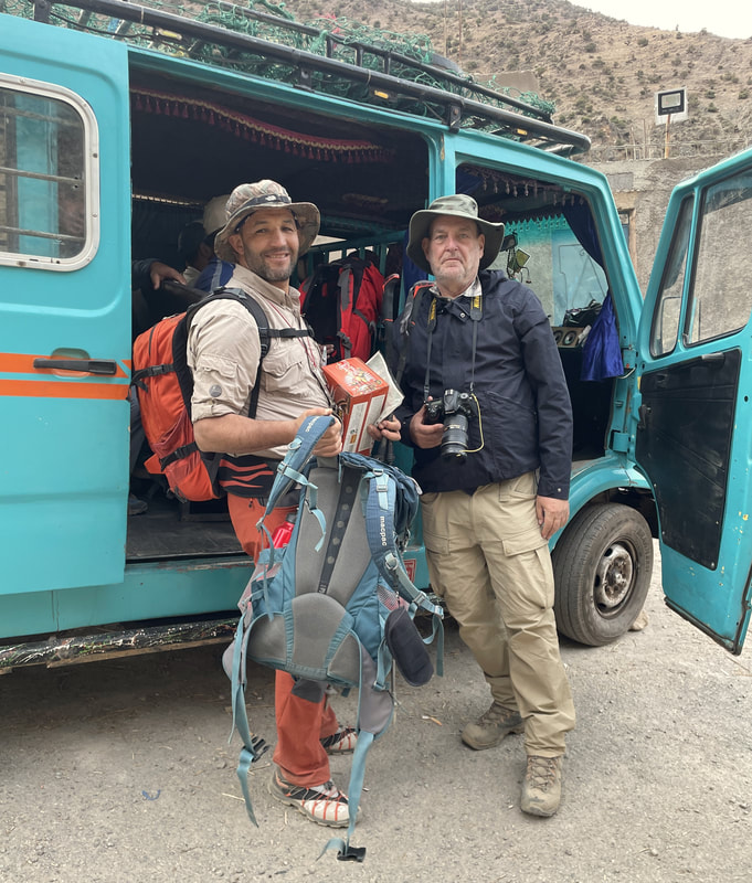
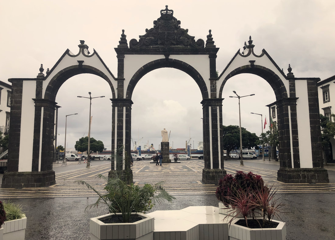
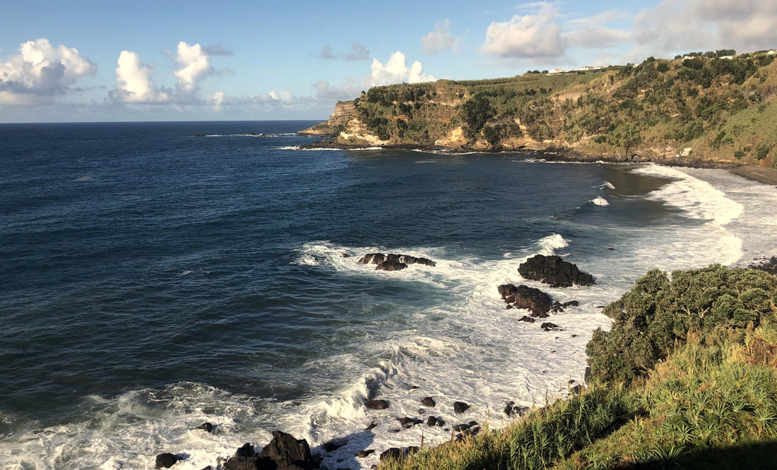
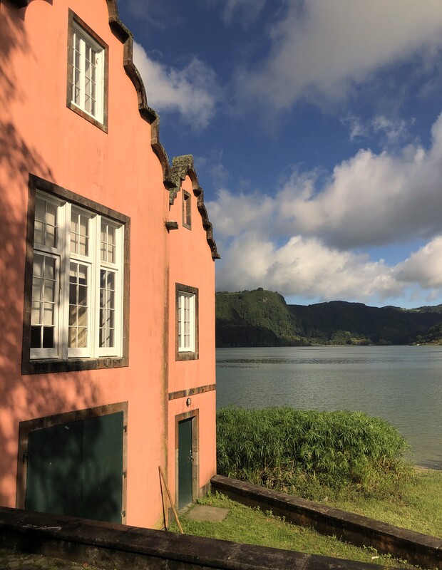
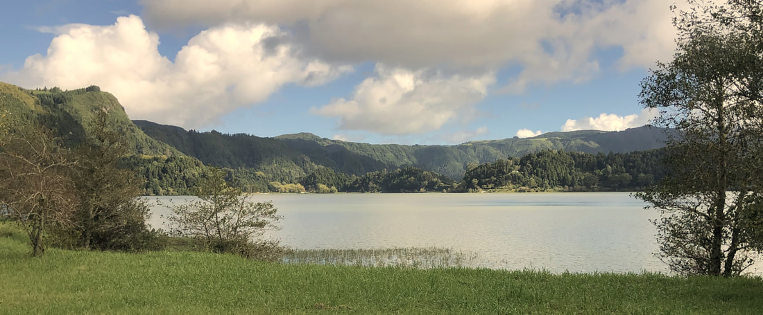
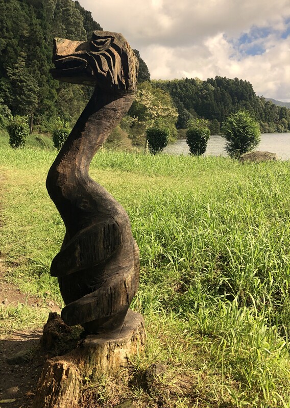
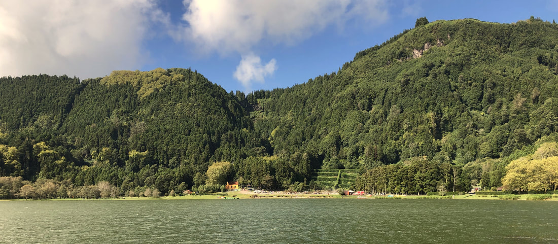
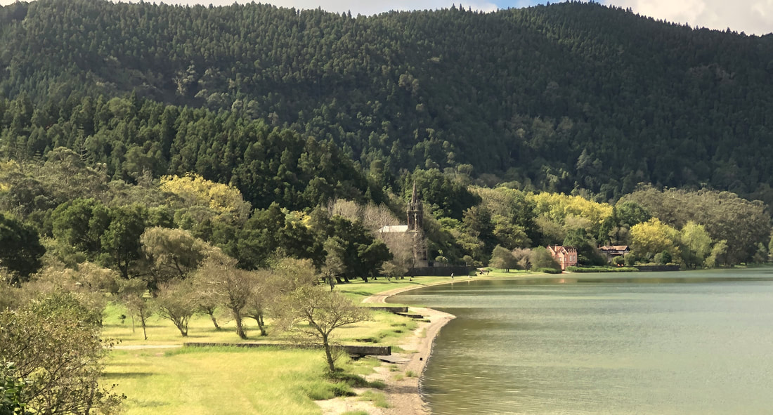
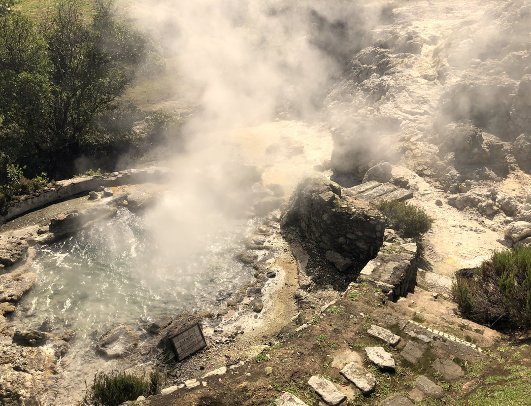
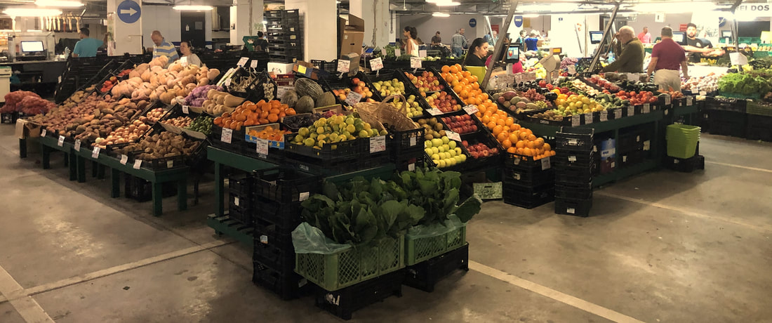
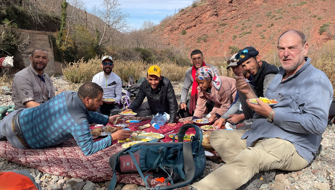
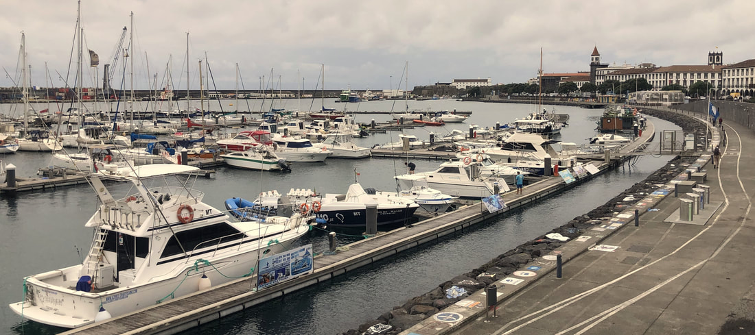
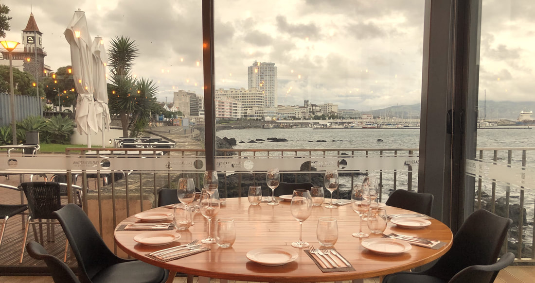
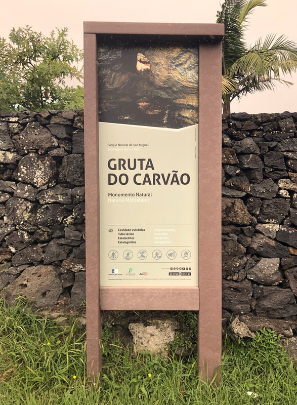
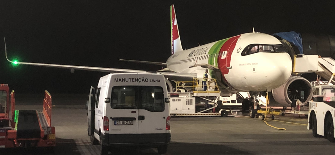
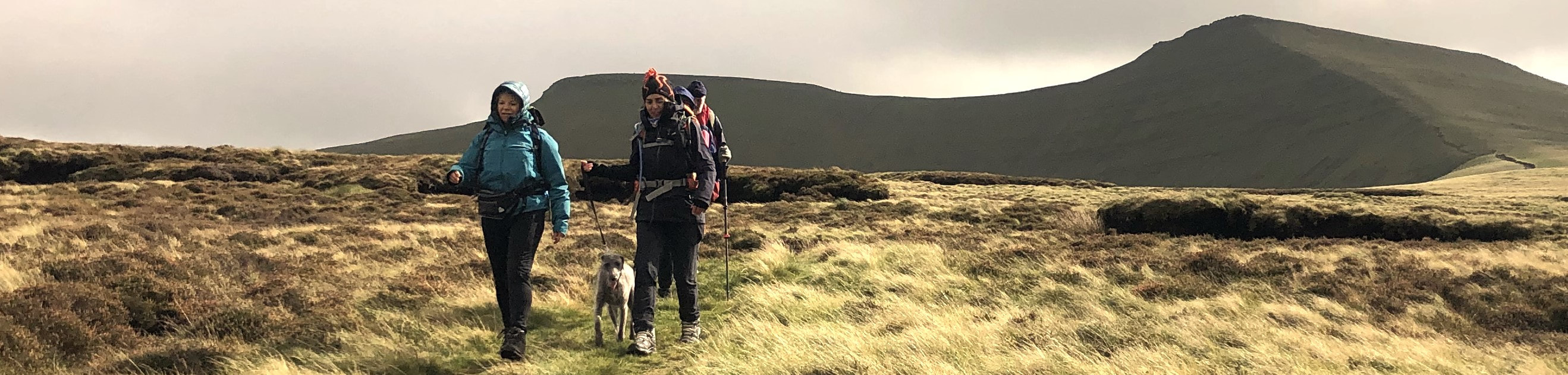
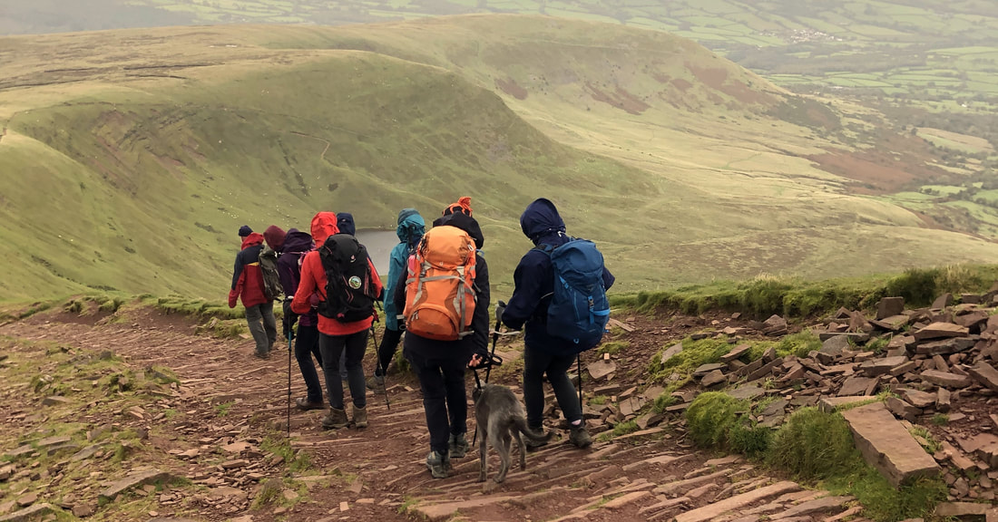
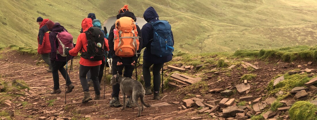
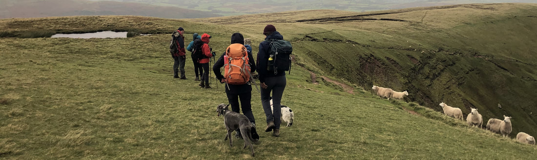
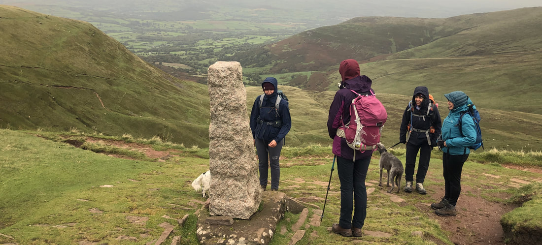
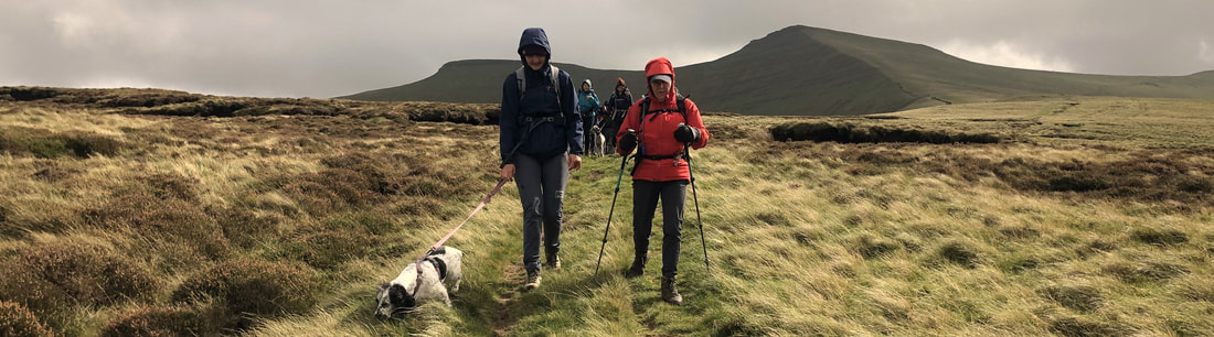
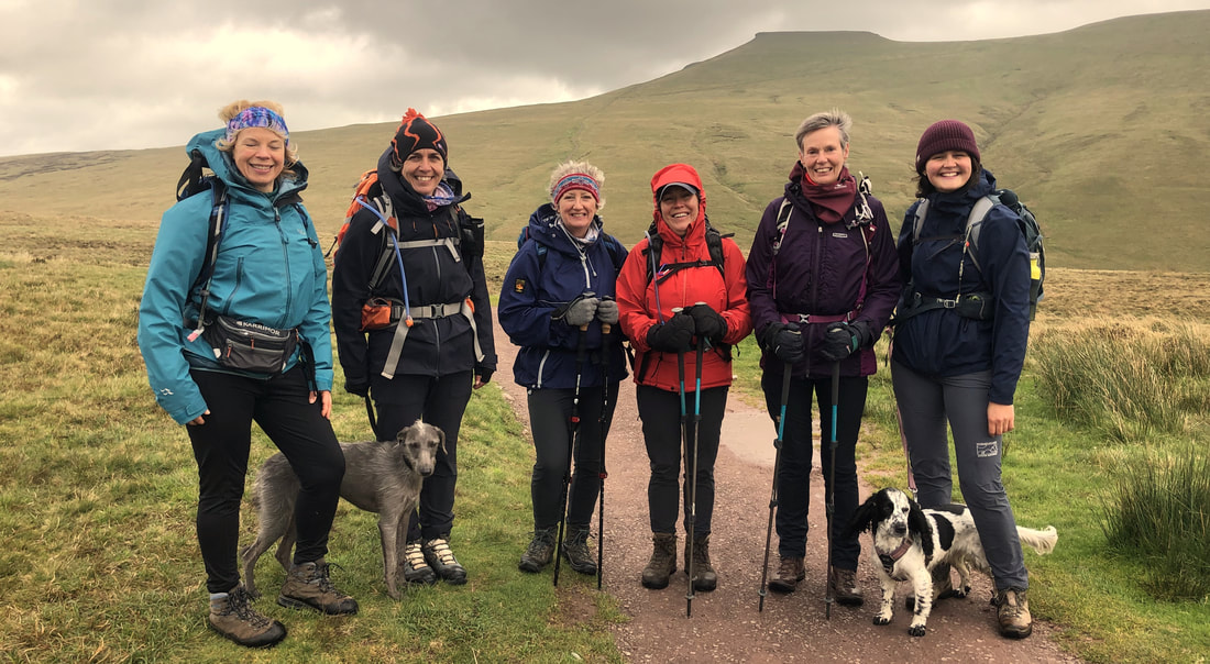
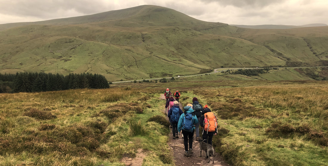
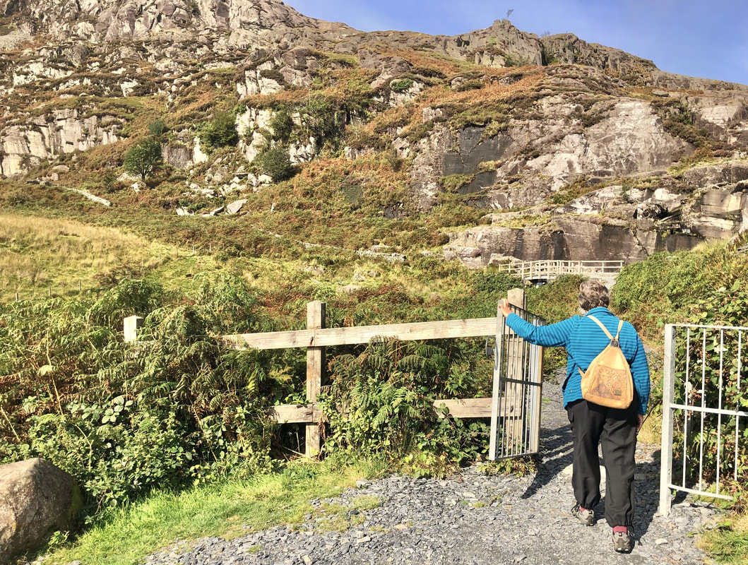
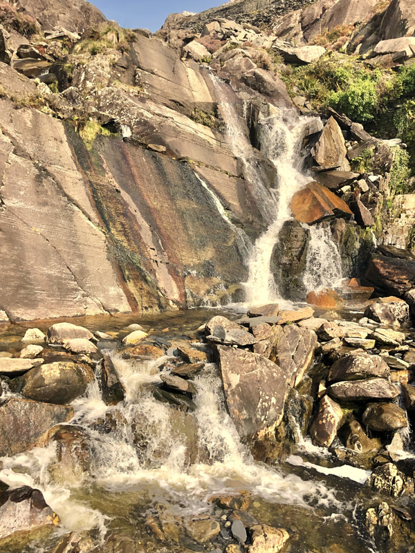
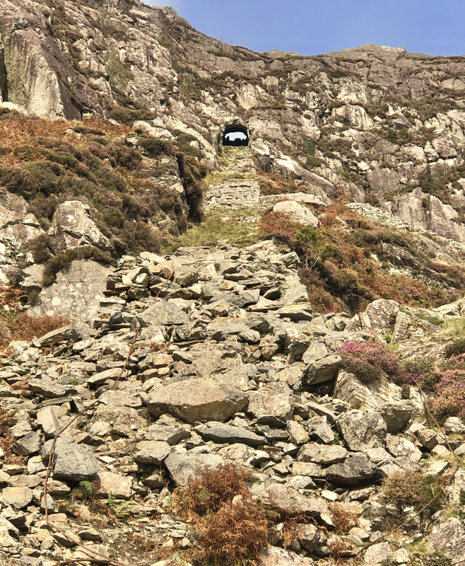
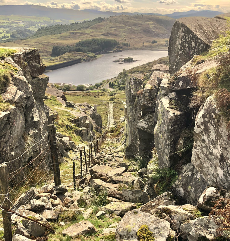
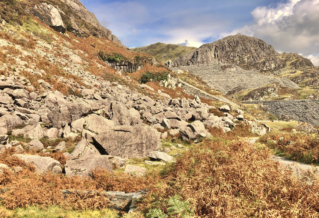
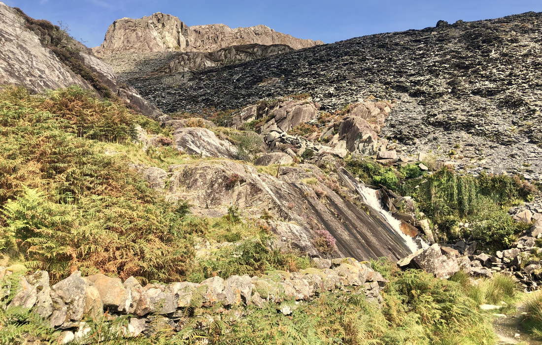
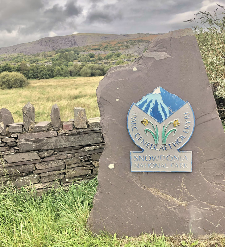
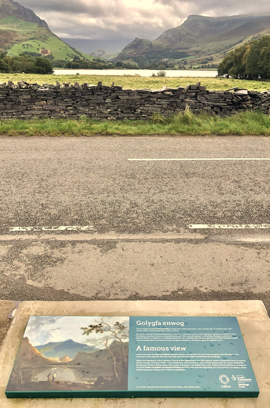
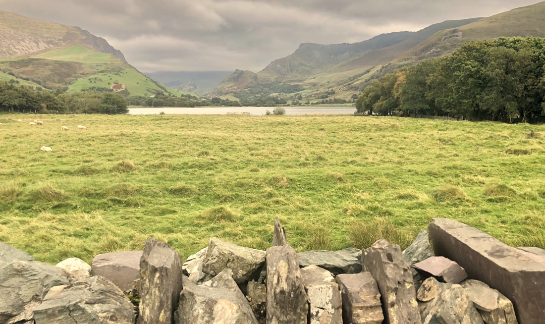
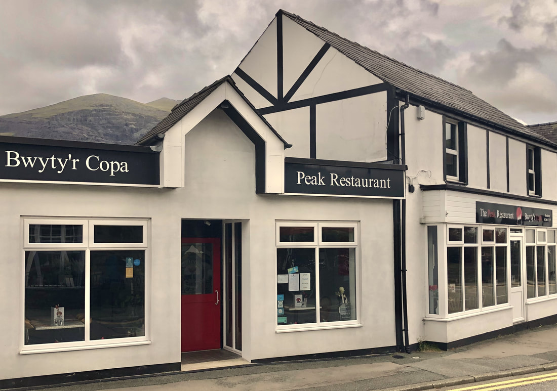
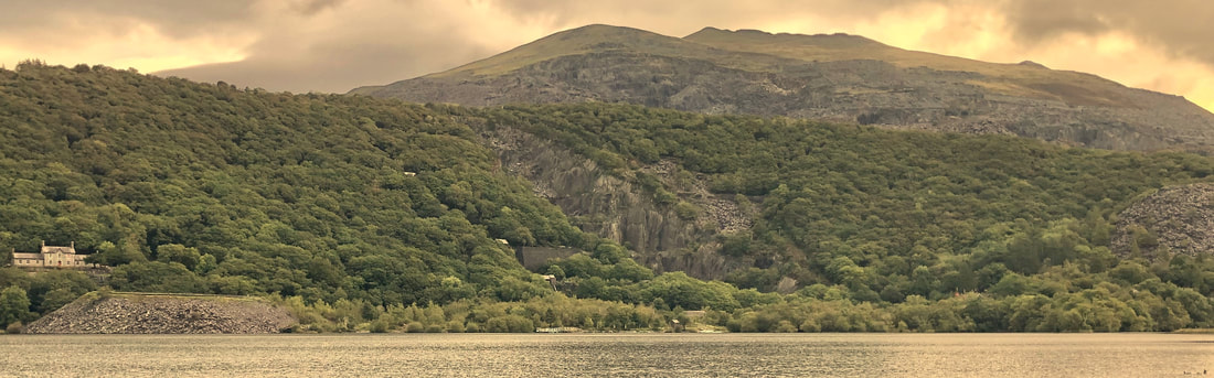
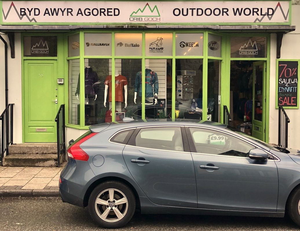
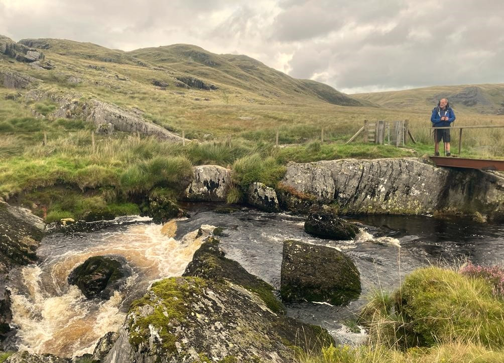
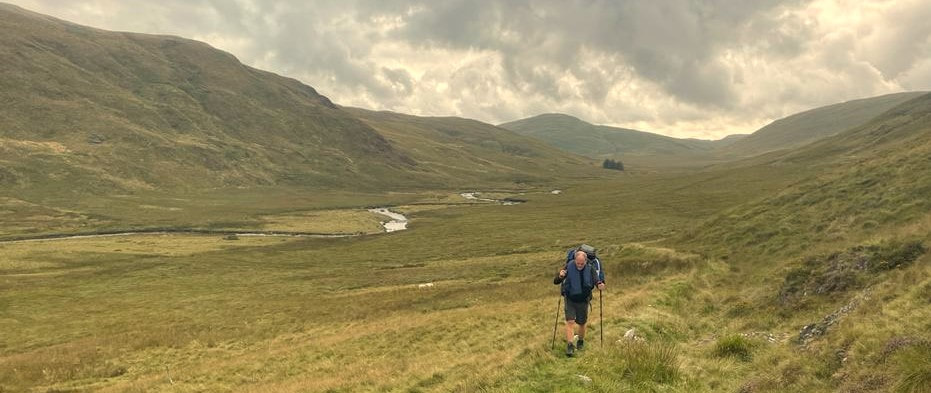
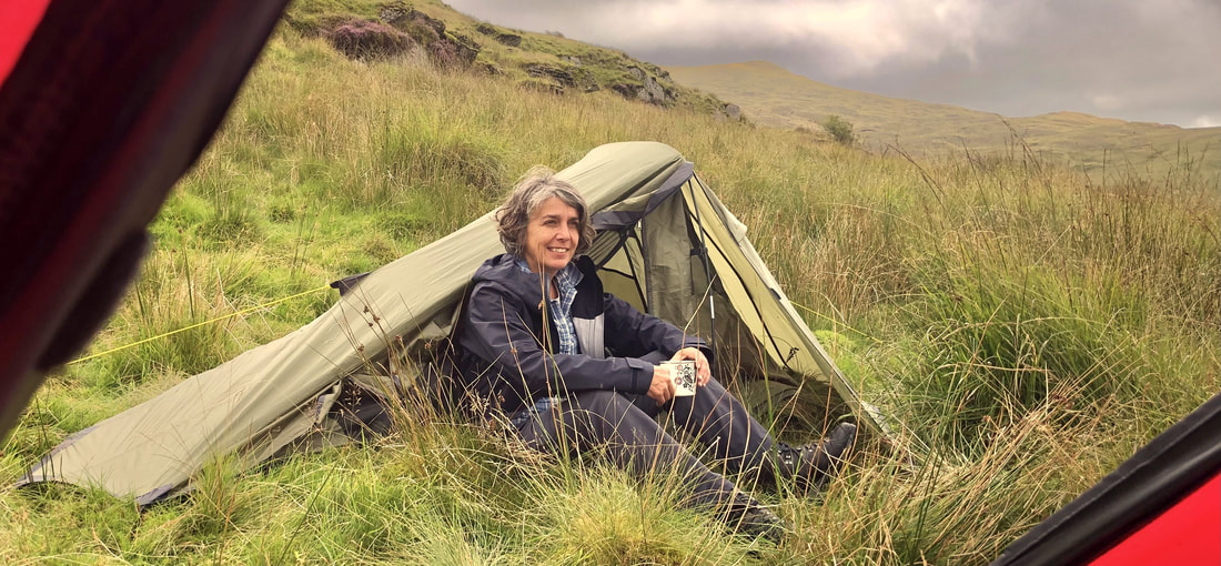
I've previously used, and still do, the Rohan Nightfall Down Jacket which was a great jacket and has kept me warm in some very cold and challenging places. The Nightfall did have the PackPocket which I found useful and was filled with 800+ fill power compared to the Eos 700 fill power. One thing I didn't like with the Nightfall was the detachable hood so the Eos scores very highly in my opinion, for the hood which fitted very well. OTHER rohan clothing we used throughout the tripALAN: 1. Summit Trousers 2. Pioneer Trousers 3. Overlanders 4. Worldview Shirt 5. Pioneer Shirt - Short sleeve (x 2) 6. Core Silver Polo 7. Core Silver Zip - Long sleeve 8. Core Silver T - Short sleeve (x 3) 9. Pinnicle Jacket (Barricade 3-layer): sadly lost when it became loose under my rucksack lid so I'm quite gutted about this as it was an amazing waterproof jacket 10. Elite Overtrousers: Please re-introduce these? 11. Aether Boxers with Fly (x 4) 12. Trunk Plus Boxers (x 4) 13. Fleece Gloves + Waterproof Gloves + Wooly Hat 14. Coffee Mug HELEN: 1. Ventus Waterproof Jacket 2. Bags Trousers 3. Pioneer Shirts (x 3) 4. Wooly Hat 5. Moor Overtrousers NOTE FOR ROHAN DESIGNS: Please bring back more Silver Technology garments? miscellaneous images INTRODUCTIONMy previous trip into the Annapurna Sanctuary was leading a charity trek back in 2006 but my first trek in Nepal was in 1990. Since 1990, I’ve been lucky enough to lead over 20 treks and expeditions to the Himalayas. Why the Annapurna Sanctuary in 2023? - Because it's such a beautiful area which I wanted to re-visit. − This was be a good opportunity to work with my friend, Tulsi Gwyali of Nepal Sanctuary Treks who I’ve known for a number of years and who I can highly recommend. − The itinerary doesn’t exceed 4150m so provides a good introduction to Nepal for the six friends who accompanied me. − The itinerary was a 10-day trek so can more or less be squeezed in to just over 2-weeks away from home. THE ANNAPURNA SANCTUARYThe Annapurna Sanctuary is a high glacial basin lying 40 km directly north of Pokhara. This oval-shaped plateau sits at an altitude of over 4000m and is surrounded by a ring of mountains, the Annapurna range with most peaks being over 7000m. Our trek uses the only entrance into the Annapurna Sanctuary, through the narrow valley which lies between the high peaks of Hiunchuli and Machapuchare, where run-off from glaciers drains into the Modi Khola River. The Sanctuary was not penetrated by outsiders until 1956. Because of the high mountains on all sides, the Annapurna Sanctuary receives only seven hours of sunlight a day at the height of summer. The south-facing slopes are covered in dense tropical jungles of rhododendron and bamboo, while the north-facing slopes, in the rain shadow, have a drier colder climate similar to that of the near-by Tibetan Plateau. The entire sanctuary was held as sacred to the Gurung people, one of the many native people to inhabit the area. They believed it was the repository of gold and various treasures left by the Nāgas, the serpent-gods known in India. The sanctuary was believed to be the home of several deities, from Hinduism and Buddhism as well as older animistic gods. The peak of Machhapuchhre (6997m) at the entrance was believed to be the home of the god Shiva, and the daily plumes of snow were thought to be the smoke of his divine incense. Until recently, the local Gurung people forbade anyone from bringing eggs or meat into the Annapurna Sanctuary, and women and untouchables were prohibited from going there as well. The Annapurna Sanctuary is now part of the Annapurna Conservation Area Project (ACAP), which places restrictions on number of outside travellers, gathering of firewood, and domestic animal grazing. November 6th - Depart UK with qatar airways from LHR T4 and manchesterOur departure day had finally arrived and when I looked out of the front windows, Janet was just parking up on the drive. After coffee and bacon rolls our MET Executive transfer vehicle was duly loaded up and after saying goodbye to Yolande, we drove to Magor M4 Services to pick up Wendy, Lou E and Carla. We then continued up the M4 to LHR T4 with a brief comfort stop at Reading Services. Arriving at LHR T4 by 1000 we didn’t have long to wait until the check in desks opened although my Business Class desk was already open and I was soon checked in and through formalities for a quick drink and a light meal before joining Wendy and Janet outside. The massive Qatar A380 took ages to board and we took off slightly behind schedule but were advised we’d still arrive in Doha on time at 2355, at around the same time as Helen and Lou B would arrive from Manchester. My flight was good and I was looked after well, throughout the 6hr flight. november 7th - ARRIVE kathmandu, NEPAL via dohaArrival into the terminal after a long descent was easy enough and the old security system had been discontinued so it was straight to the Giant Yellow Teddy Bear where most of us met up from the two flights. The flight to Kathmandu was uneventful with great views of the Himalayas on the left before we descended into Trivandrum International Airport after one 15 minute holding loop whilst we waited for clearance to land. Immigration and the Baggage Hall were crowded with Wendy having some form of passport issue but we collected our bags and went out to meet Tulsi where he warmly greeted us with marigold garlands of flowers which was a wonderful gesture on his part. The thirty minute drive to the very nice Ambassador Hotel was easy enough and Tulsi had arranged for our rooms to be available to us on our arrival. Rooms were allocated and we all went off to unpack and rest after the overnight flight. My Room 703 was very well appointed with a king size bed. I'd had lunch here with Tulsi on my last trip to Nepal and was pleased to be staying here. At 1530, Helen, Janet and I went for a short walk over to a nearby complex with several hotels and booked a table for dinner at the Piano & Piano Restaurant where I’d eaten twice before. We recce’d a nearby money changer so everyone was able to change all the money they needed without any problems whatsoever. Back at the hotel for our 1730 briefing with Tulsi which went well, kitbags were issued and final bills paid. I’d arranged for Helen’s bags to be branded with Bryn Walking and in her favorite colour which is orange. It must be noted that Tulsi advised us all that 4 twin rooms might not be achievable every night. This was to cause some concern later on the trek when we arrived at Bamboo where our lodge was overbooked. Money changing and then dinner went as planned in Piano & Piano which I enjoyed. Several of us met at the rooftop bar for our complimentary evening cocktails which were really good, served with a small poppadum which was a nice touch. Back at the hotel I was in bed by 2100……. Overnight: Ambassador Hotel, Kathmandu november 8th - AT LEISURE IN KATHMANDUI woke at 0330 and couldn’t get back to sleep so had a couple of cups of tea, sorted clothing and equipment ready for our 0600 departure on the 9th, downloaded images onto my HP Notebook and wrote up this journal. We all met in the lobby before going for breakfast, prior to our City Tour to the three great temples of Swayambunath (the Monkey Temple), Pashuputinath and Boudhanath and to the ancient Durbar Square. When we met our guide it was agreed by all that we’d like to be back at the hotel by 1600 in order to relax and do some last minute shopping before our departure for trek the following morning. We ended up being dropped off for a market walking tour through the narrow and crowded streets to arrive at Durbar Square. The guide’s knowledge and passion for his subject was very impressive. However, the hours were passing by and I think it was after midday before getting back onto the minibus to drive to Boudhanath for lunch before exploring the site. I was surprised when we wrongly arrived at Swayambunath so we drove over to Boudhanath and lunch as planned but an hour had been wasted. After Boudhanath we drove over to Pashupatinath where a couple of cremations were taking place before returning to the hotel by about 1830. Because we hadn’t seen Swayambunath (the Monkey Temple) I spoke with Tulsi and he agreed to arrange a visit there on our return from Pokhara. Dinner on the rooftop bar was exceptionally good as was the draft Red Himalayan Beer. Helen and I sorted out the things we were leaving in the hotel. Sleep was Zopliclone induced. Overnight: Ambassador Hotel, Kathmandu november 9th - DRIVE TO DHAMPHUS + TREK TO POTHANA0500 wakeup call to checkout ready for our 0600 departure with our packed breakfasts with Tulsi here to see us off on the long road journey to Dhamphus (a town twinned with Brecon, Powys). The journey was long and bumpy and took far longer than expected as the monsoon had caused huge amounts of road damage. However, the slower speed allowed us to see the countryside and the Nepali way of life with different types of housing, farming and animals even travelling candyfloss salesmen. We lunched (with our first tasting of the excellent Dhal Bhat set lunches) on the outskirts of Pokhara before continuing westwards on a faster highway before turning up a rough track to the Dhamphus office of the local chairman who was the Chairman of the Brecon/Dhamphus twinning association. Our twinning meeting went well with marigold garlands and coffee before we finally set of in the late twilight up to Pothana which we reached at around 1900 by the light of our headtorches! During this twilight walk we saw Machhapuchhre (6997m) for the first time. Helen and Tenjing had arranged our rooms and we were soon eating dinner. It had been a really long day before lights out at around 2100. Overnight: Hotel Vacation Home & Restaurant Point of concern: As the road journey had been far longer and uncomfortable than expected I asked the group if they’d prefer to fly back from Pokhara to Kathmandu (US$ 106). After a unanimously positive responsive, I arranged this with Tulsi. The flight will be with Buddha Air at 1045 on November 19th, Buddha Air are the most reliable airline in Nepal with a relatively modern fleet of ATR 72 and Beech 1900 aircraft. november 10th - TREK TO JHINU DANDABed tea arrived at 0600 and I’d had a good night’s sleep, induced by Zopiclone. A hearty breakfast was too much for me really but others helped me out. 0800 and we set off at the scheduled time which was quite impressive I thought. Leaving Pothana behind we opted for the new, easier 4WD track to Landruk and this route provided great views westwards into the deep river valley of the Modi Khola. A group of children formed a singing roadblock and we had to pay a toll to proceed! At around 1030 we stopped at the entrance to Tolkana for a coffee break and some jewelry shopping before continuing on to Landruk for lunch where we arrived at around midday. Lunch was good and enjoyed by all. Setting off at around 1430 we descended to the Nyapol (New Bridge) before a very long and steep climb to our lodge commenced. We’d split in to two groups today and this was pretty much the case for the days to follow. After climbing for what seemed an eternity we crossed a 287m span suspension bridge before continuing up to our lodge. I think this was the longest suspension bridge I’d ever crossed and I’m never completely comfortable on them! Overnight: Hot Spring Cottage & Restaurant Walking time: 9hrs november 11th - TREK TO BAMBOOJhinu Danda up to Chomrong was a steep two hour climb but we rested in a lodge for coffee and a snack. The views northwards showed our route clearly for the next 3hrs to our lunch stop. I found this day to be long and arduous with a later long descent into Bamboo which sits in the bottom of the valley and is a dark and damp place. Our lodge booking for four twin rooms had been reduced to three rooms (as Tulsi had warned might be possible) which caused some concern within the group which was resolved by relocating three of the group to the New Buddha Lodge which had a new accommodation building. Overnight: The Bamboo Guest House & Restaurant Walking time: 9.5hrs november 12th - TREK TO DEURALILeaving Bamboo behind our two groups set off northwards, climbing ever upwards and the rear group enjoyed a coffee in Dovan where there were several lodges. From here we enjoyed our first views of the spectacularly fluted summit of Machhapuchhre – the Fishtail Mountain. We saw plumes of snow blowing off the summit, thought to be the smoke from the divine incense of the god Shiva. During the morning, beyond Upper Dovan, we passed the sacred shrine of Barah Than which back in 2006 only had a sacred bell on a rock as a shrine so the new shrine was quite a surprise to me. We caught up with the front group as they were finishing their lunch at Himalaya. We ordered our lunch and I opted for egg and chips again but they weren’t quite as good as yesterday. Just before the final climb up to Deurali, there was quite a scary bridge but we crossed safely and walked up to our red roofed lodge which was just above the main cluster of lodges which form Deurali. Our lodge was only 4 years ago and our rooms were satisfactory and next to the large dining room. Little did I know what was to come….. With dinner arranged for 1830, most of us sat in the dining room writing journals. Overnight: Hotel Viewpoint Deurali & Restaurant Walking time: 8hrs Point of concern: The final day’s itinerary was for 6hrs trekking and 1hr drive to the Pokhara hotel which wouldn’t leave any time to enjoy the hotel facilities and look around the city. Tenjing suggested a revised itinerary with a 3hr walk and 1hr drive into Pokhara which would be a much better option which everyone agreed to. I did say we might have to contribute to the 4WD vehicles which might be required and this would cost Rps 6000 each for the three vehicles november 13th - MY TREK TO MACHHAPUCHHRE BASE CAMP CANCELLED - DESCENT DUE TO MEDICAL REASONS with Lou E and Carla - others ascended to MBC AND ABC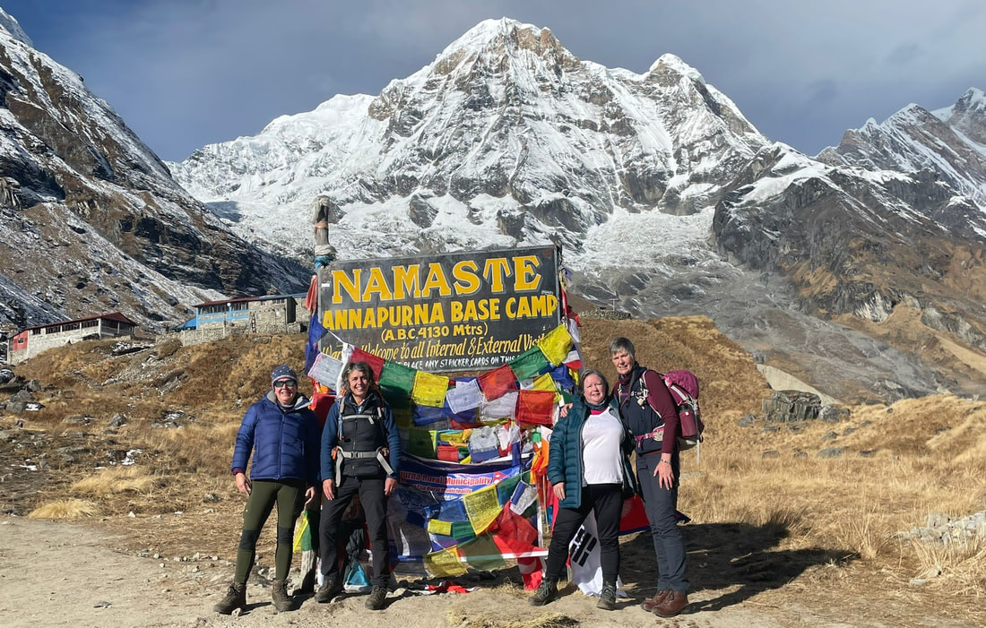 MBC/ABC REPORT FROM HELENWe reached Machhupachchhre Base Camp (3700m) in the afternoon with beautiful winter sunshine. We were warm on the terrace while eating our lunch which was lovely fresh food, as always. Machhapuchhre was looking over us again, this time at close range – we really felt at its foothills. We all decided to do a bit a washing as it was so sunny but in hindsight this was silly because the winter sun was soon gone and in the morning our items were hanging on the line frozen. After lunch Tensing suggested that we walked halfway up to ABC to acclimatise. This we did. The sun had not only gone but thick afternoon mist had descended into the valley. We walked to 3900m and then returned to MBC. Thankfully it lifted before it got dark and we were able to go and have a look at the glacial valley at the foot of Machhapuchhre. It was amazing. The common room was very cold as temperatures had dropped to sub-zero, so we were early to bed and were to expect bed tea at 0530 ready for a 0630 start. We were very lucky with the weather and could see all the mountain tops except for Annapurna I (the highest in the horseshoe). It’s an easy gradual ascent and nobody struggled with the altitude, but we didn’t outstay our welcome at the Base Camp, as affects soon might set in. We were elated on reaching the Annapurna Base Camp (4130m) and took many photos. We did take the opportunity to have a quick cup of tea while there – well, why not have the highest cup of tea on the trek! Note from Alan: Thanks to Janet for images of Helen at ABC and Poon Hill. __________________________________________________ My sleep had been disturbed through the night by the onset of Traveller’s Diarrhoea (TD) and frequent visits to the toilets. I consulted with my good friend Dr KC Sudip who has just moved to London and he diagnosed Gastroenteritis caused by food poisoning. Heeding his advice I took medication and rehydration sachets but he was concerned that if I remained unwell that I should medevac down to the Pokhara Civic Hospital where his friends would look after me. I did get better so no helicopter rides for me thankfully. My Lake Louise Scoring System result was 6+ without taking into account the TD! Lou E and Carla were both really tired and asked for a 1000 departure which I was OK about so the first group set off at 0800 as planned. It soon became clear that Lou E was experiencing TD as well as having chest issues and Carla had persistent headaches and was coughing badly. After lengthy discussions, it was agreed that we would continue with the ascent to MBC and we set off. Minutes later however I experienced three vomiting sessions which left me feeling quite poorly. We then agreed to descend in the best interests for the three of us. Soon after we began our southwards descent, TD struck twice – a really horrible experience, having to dive into the bushes for cover. We reached the village of Himalaya and had a drink as we discussed what to do next but agreed to continue down to Upper Dovan as it being more than a step in the right direction. None of us had any appetite to eat. The lodge was quite basic and rooms small but a welcome refuge for the three of us. I ate a few chips but that was all I could manage. A French couple offered me medication which was good of them. I experienced one last vomiting session during the evening which was the last, thankfully. Early to bed in Room 5. Overnight: Hotel Destination ABC & Restaurant Walking time: 8hrs november 14th – TREK TO CHOMRONGWe left Upper Dovan just after 0800 and trekked southwards, pausing for lunch at Real Sinuwa Cottage & Restaurant, a plate of chips for me as not quite 100% recovered yet. Reaching the suspension bridge we looked up at Chomrong, high above and the lodges which seemed so far away. Lou E decided she’d count the steps, ticking her arm every 40 steps. This was great for me as it meant a brief respite every 40 steps and we made good progress, pausing for photographic opportunities as the weather was fine and clear towards Annapurna South and Machhapuchhre. There were 1920 steps climbed by the time we arrived at the lodge. I had passed on to Helen that a pony service was available to transport their rucksacks up to Chomrong after their very long day although I though it unlikely the others would avail themselves with this service. Whilst separated from Helen and the others it had been useful to remain in contact with her using WhatsApp as the WiFi has been good in the lodges but the guide team all have mobile phones and the coverage is generally good. Pausing at the Chhomrong Stupa Gompa, I donned my new Rohan Eos Jacket for some product photography before continuing up into Chomrong. SIGG UK also asked for some product photography in return for purchases made for this trip. We reached the Excellent View Top Lodge and Restaurant and excellent it certainly was with our 4 twin rooms with attached toilet/shower confirmed. There was a friendly atmosphere within and other trekkers were chatty and welcoming. One of the porters had run down to the Jhinu Danda to recover Wendy’s jumper that she had left there. She rewarded him with Rps2000 as she was very pleased to get this fleece back. Dinner for me was Chicken Curry Masala and plain rice with a small poppadom. Room 112 had three beds and the en-suite facilities more than adequate but a better hot water supply would have been appreciated. I did some laundry which drip dried onto the floor ready to hang outside in the morning. Good WiFi at Rps200 kept me occupied until lights out at 2100hrs. Overnight: Excellent View Top Lodge and Restaurant Walking time: 8.5hrs november 15th – RESTING IN CHOMRONGAfter being awake at 0400, I nodded off until about 0645 feeling very satisfied overall with the sleep quality and length. Downstairs from 0700 talking to other trekkers until my breakfast (Toast/Butter/Jam and filter coffee) arrived. I managed to burn my fingers on the very hot butter dish so cooled them off in a glass of cool water for ten minutes or so. Before breakfast I’d treated myself to a Himalayan Expresso Bar cappuccino which was very enjoyable. Clear views of Annapurna South (7219m) and Machhapuchhre (6993m) (the Fish Tail Mountain) from this lodge in such a fabulous setting, now quiet and peaceful as the trekkers had left. After hanging my laundry out to dry and tidying the room I sat in the dining room and updated my journal with another Himalayan Expresso Bar cappuccino at around 1100hrs. 1300 – I ordered Grilled Chicken and Chips from the very extensive menu. My lunch was very good! The ABC conquerors arrived at about 1600 and it was so good to see them again. A porter went down to help Lou B with her rucksack which was a nice gesture. Overnight: Excellent View Top Lodge and Restaurant november 16th - TREK TO TADAPANILeaving Chomrong after an enjoyable two nights we were into our penultimate full day’s trekking and on trails new to the group. The first couple of hours involved a “Nepali Flat” type of contour path before eventually dropping down to a river, crossed by a suspension bridge. Thereafter followed an hour and a half of steep rocky steps but Lou E used her 40 steps technique and we made good progress up to our lunch stop. After lunch the trail was more what most of us were used to with few stone steps, as it climbed up through woodland to the hilltop settlement which is Tadopani and our very traditional lodge which was quite basic and tradional. The views towards Annapurna South were quite stunning. I helped Helen bargain for a colourful blanket she liked whist several of the others shopped for smaller items. Overnight: Himalayan Tourist Guest House Walking: 8hrs november 17th - TREK TO GHOREPANIWe left more or less on time which was nominally set for 0800 after a good breakfast and filling our water bottles for the day which was always an after breakfast ritual. After dinner on most evenings, water bottles could be filled if anyone needed a hot water bottle. The morning walk was, initially downhill, and an enjoyable walk through forests. Eventually we entered a narrow gorge and followed this up to our lunch at an isolated lodge, in the forest, with tables set on the terrace. Most of us had Dhal Bhat in order to save on time as earlier in the trip I thought our lunch stops were too long. Continuing on to Deurali, the front group ground to a halt to look at the colourful shops there. The walk between Deurali and Ghorepani took us along a narrow ridge with views through the forest canopy towards Dhaulagiri. The views from the Thapla Danda (3165m) viewpoint to Dhaulagiri were amazing and we all rested there at this peaceful viewpoint before descending to Ghorepani and the Sunny Hotel. At the Sunny Hotel, once again, we’d been allocated rooms of a very poor standard, particularly for Lou B and for Helen and I. After positive discussions with the management, better rooms were allocated to us. The dining room was very well appointed (and a rarely seen stove) and dinner was the best meal I’d experienced on the trip: Chicken Curry and Rice with a Kashmiri Naan – very yummy! After dinner several of us met in my room to work out the tips and put them in envelopes as well as donating each member of the crew a parting gift. Tips: Guide - £150/Ass.Guide £100/Observer £30/Porters £50 Helen and I went back up to the dining room for an enjoyable whisky nightcap so we could use the WiFi. Overnight: Sunny Hotel Walking: 8hrs november 18th - POON HILL + TREK TO ulleri for 4wd to birethanti + DRIVE TO POKHARA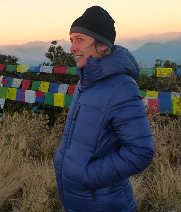 poon hill report from helenAnother early bed tea at 0430 with a 0515 start up to the top of Poon Hill. I am so grateful of the bed tea ritual, it’s a great start to the day and very attentive of the guides. We needed Rps150 for the entrance fee. So with head torches we met outside the Sunny Hotel and started the frosty ascent. More steps!! I hadn’t slept well, so I wanted to clear my head and pushed on up to the top with Norbu our guide. The top plateau and viewing tower were already crowded and not really where I wanted to be, but I videoed the sun rise and watched a small plane (DHC-6 Twin Otter) fly over very low. I welcomed the lovely breakfast on return. __________________________________________________ With my arthritic knee giving me a few issues I didn’t join the group as they left for Poon Hill at 0515. They returned for breakfast at 0800 before we left at around 0900. The 2hr walk turned out to be almost 4hrs but was an enjoyable descent through woodlands but with large numbers of trekkers headed up to Ghorepani. Towards the end of the trek, the kind-hearted Helen stopped to help a young boy tie his bundle of leaves up so he could return to his farm and family. Lunch was at the Alina Guesthouse & Restaurant where our three 4WD vehicles were waiting and after lunch, we set off for quite an exhilarating descent on a dirt road with tight hairpin bends and huge drops which were unprotected by crash barriers. This was a change to the itinerary so we all shared the costs for this transfer which everyone really enjoyed. At Birethanti, we all piled into a café with the crew for the tipping and gift ceremony which went well. Saying goodbye to our porters we then drove on to Pokhara and the Kailash Resort Hotel. The hotel was centrally located and our allocated rooms were on the ground floor garden terrace. Dinner at the Fewa Lake restaurant was along the lake frontage and enjoyable with Helen, Wendy, Janet and Lou B. Helen and I shared a whole Chicken Tandoori which was just what we needed. Back to the hotel for a good night’s sleep. The hardy Lou E and Carla used the swimming pool which was somewhat cool. Overnight: Kailash Resort, Pokhara Walking: 4hrs Driving: About 4 hrs in total november 19th - fly TO KATHMANDUWith a short walk down to the lake side we returned to the hotel for breakfast and Tenjing was there before 0900 to load the hotel minibus for our trip to the new airport. Getting through security was easy enough but our check in wasn’t open yet. Identified as a group however, we were soon checked in for our 1045 Buddha Air flight to Kathmandu. Due to poor weather conditions earlier in the day though, all flights were delayed so we sat patiently and waited, and waited…. I suppose by about 1100 we were allowed through security and our incoming aircraft arrived, better late than never. We were all sat in the front of the aircraft with most of us on the left side which was good to see the snow-capped mountains as we flew to Kathmandu. After the short flight we landed at Kathmandu and the very crowded baggage hall awaited where Tulsi was waiting for us and before too long we were checking into the Ambassador Hotel where I was allocated Room 501 which was very nice and had a bathroom with a bath! Several of us had decided to head straight out to lunch with an 11 minute walk to the iconic Fire and Ice Restaurant at the entrance to Thamel, the traditional shopping area for tourists in Kathmandu. The pizzas were very good, as was Helen’s choice which was Calzone and quite substantial but soon, it had all disappeared. After lunch we walked over to the Kathmandu Guest House for a coffee before visiting Pilgrim’s Bookshop which sadly we didn’t find. Apparently the shop had been demolished following a fire which was such a shame as it’s one of my favorite shops in Thamel. After a few brief shopping stops we returned to the hotel. That evening, most of us met on the roof top bar and I enjoyed a Himalayan Red Beer with Chicken Lollipops and a Banana Split which was all very enjoyable and just what I needed. Paying our bills seemed problematical and it turned out the financial accounting system there was well out of date. Others were subject to overcharging which was disputed and staff disturbed our participants by knocking on doors and phoning them. I only found this out next morning but raised strong complaints with the management and advised Tulsi accordingly. After discussion with the Duty Manager the next day, the management were apologetic and placed a small Black Forest Gateau in each of our rooms. Overnight: Ambassador Hotel, Kathmandu november 20th - AT LEISURE IN KATHMANDU + FAREWELL DINNERAfter breakfast, Helen and I went out for a familiarization walk in order to further her knowledge of Kathmandu for when she potentially starts bringing groups here. After coffee at the Yak and Yeti Hotel, we walked back over to Thamel for another search of the fabled Pilgrim’s Bookshop but we were not successful, popping into the Secret Garden, we enjoyed a Gin and Tonic with some midmorning Chicken Mojos which were very tasty. Tulsi picked Helen and I up at 1230 for a business lunch at a local French restaurant, Chez Caroline which was very enjoyable. The main discussion points were to review our trek and to give some thought to Helen’s “Hidden Valley Trek” for a post-monsoon 2025 trek. Tulsi dropped us both back at the hotel in time for our 1500 pick-up for a one hour visit to Swayambunath, the Monkey Temple. The Monkey Temple visit went well and it’s a site where the stupa is very close up with the smell of burning joss and the chanting of pilgrims surrounded us. Our guide took us into a Thanga workshop/shop but no one bought anything. We returned to the hotel for a brief period of relaxation before Tulsi picked us all up for our farewell dinner with him. Dinner was at a Nepalese themed restaurant, the Bhojan Griha restaurant was in an ancient historical building where fabrics were made for the royal family. Somewhat apprehensive as I’d been to similar establishments over many years, this venue was absolutely amazing with a well-furnished dining area, great service and incredible Nepali traditional cuisine accompanied by the wonderful raksi. The music and dancing were colourful and musical and I wasn’t expected to dance and make a fool of myself. Back at the hotel we all reflected on such a wonderful trekking adventure. Overnight: Ambassador Hotel, Kathmandu november 21st - DEPART NEPALEarly morning visitors popped in with shopping contributions for my enhanced Qatar Airways allowance I was entitled to as part of my 60kg baggage allowance. Wendy and Janet also added to the contents on the third bag with their shopping purchases. Helen kindly came to make me bed tea! Breakfast at 0645 after hotel porters had taken our bags down to the lobby area and at 0700 the minibus was fully loaded for the twenty minute drive to the airport. Manic as the airport always is we were through the initial security and body search booths and were in line for checking in. Helen was allowed to check in with me as my official Qatar Airways travelling companion and was also issued a lounge pass which was nice. Helen and my bags were hauled off the conveyor belt for further scrutiny and I had to completely unpack my main bag as security were unhappy with batteries in my blood pressure monitoring unit and my hearing aid charger – what a farce! Up the escalator and through immigration with Helen, Lou B and Wendy was effortless and the lounge manager duly apprehended the four of us. After examining our two lounge passes and my Qatar Gold Card, the four of us were allowed in which was great. The lounge wasn’t crowded and our four double Gin and Tonics soon arrived, as did the second round before our flight was called and we passed though security into the departure gate area. The new departure lounge is very well appointed and vastly better than it used it be. Boarding and take off was late and by the time we landed at Doha it was highly unlikely that Helen and Lou B would make their Manchester flight as we briefly said goodbye and the LHR passengers made a run for Gate A3 which we did make. Helen and Lou B were accommodated overnight by Qatar at the Doha Best western Hotel and boarded a 0750 flight the next morning to Manchester. THE END - please feel free to leave commentsOctober 23rd - Night navigation on mynydd illtyd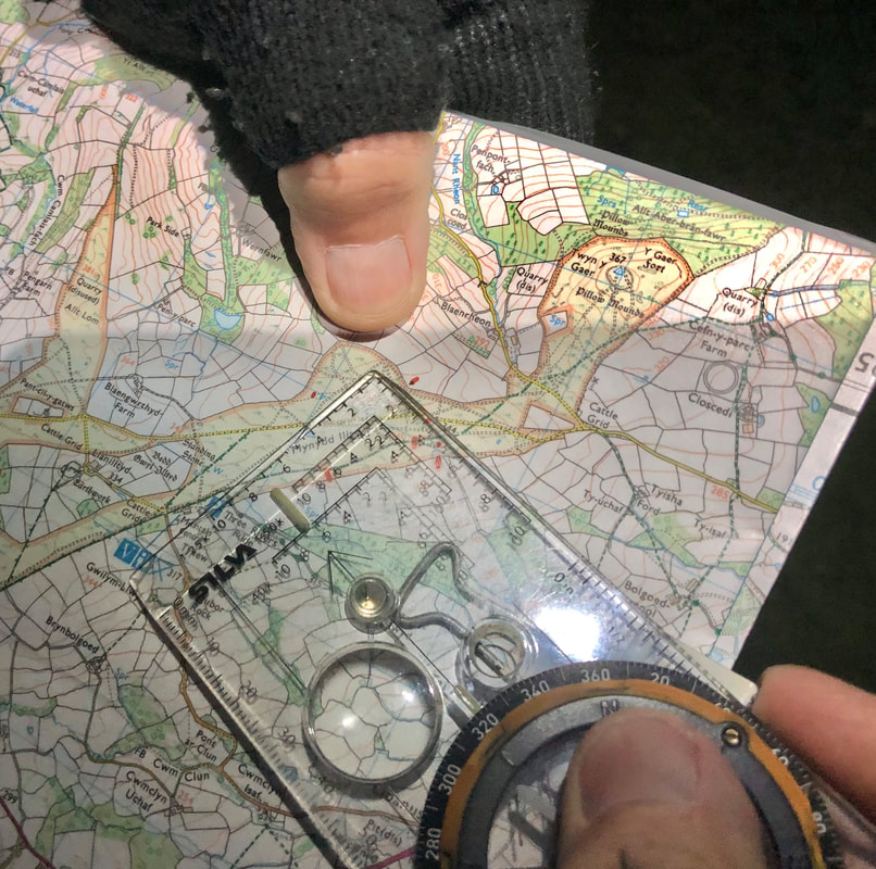 This night navigation exercise was 2.5hrs in duration for Bryn Walking, for just one of their clients who was an HF Holidays leader. Both Mountain Training and the National Navigation Award Scheme require candidates to be able to demonstrate reduced visibility/day into night navigation skills and the area used by Bryn Walking on Mynydd Illtyd is ideal. Contact Helen Menhinick of Bryn Walking for further details. 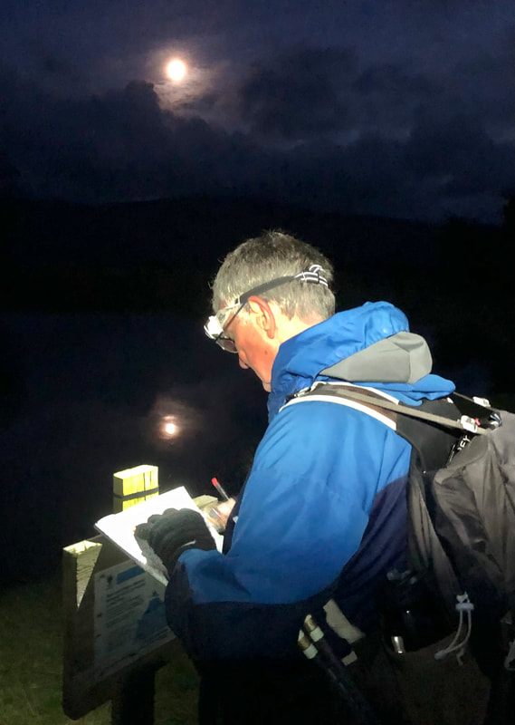 NNAS tutor award by bryn walking - saturday 21st october 2023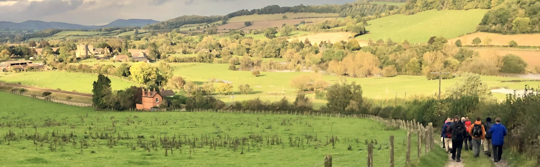 nnas tutor award: |
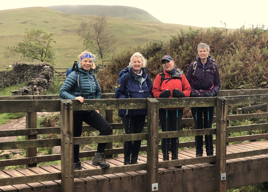
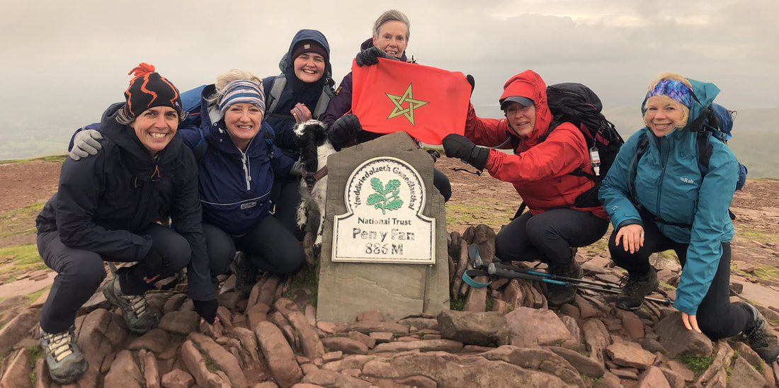
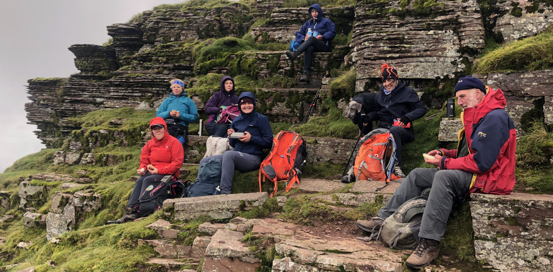
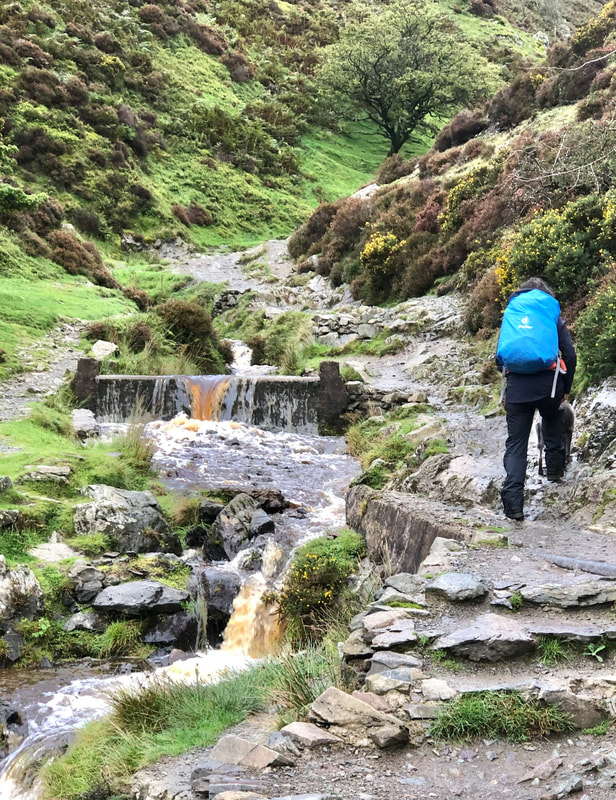
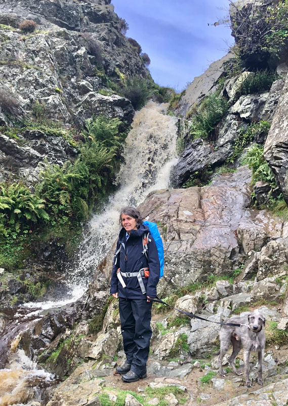
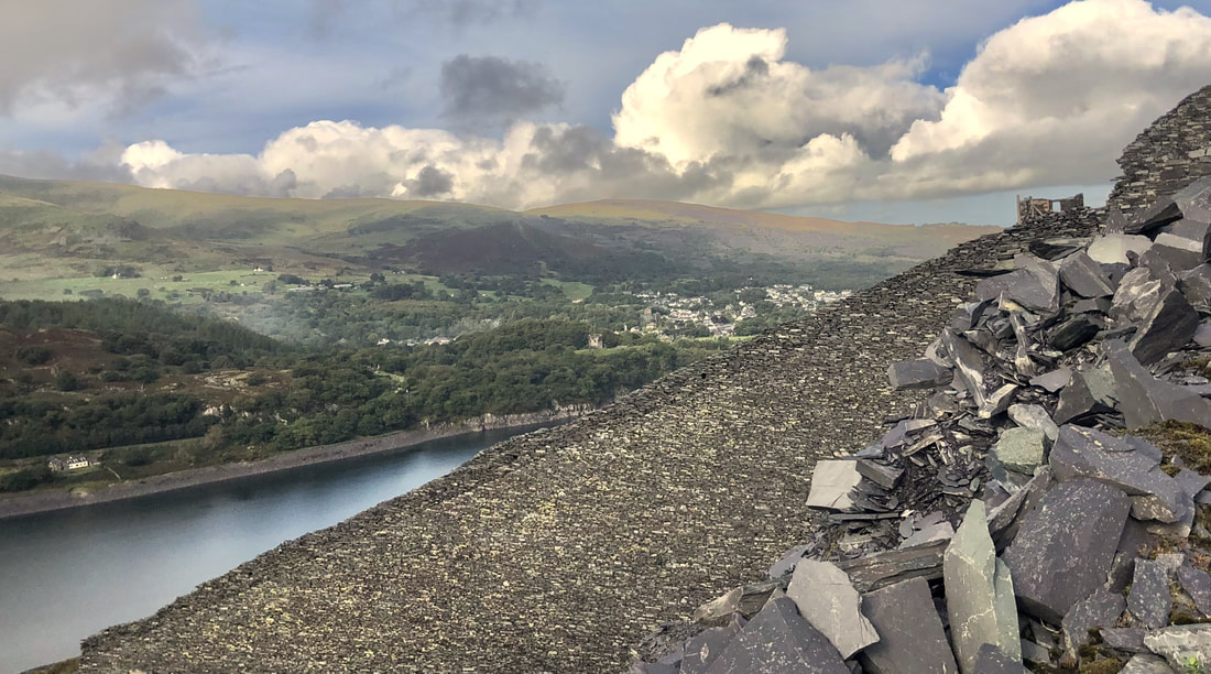
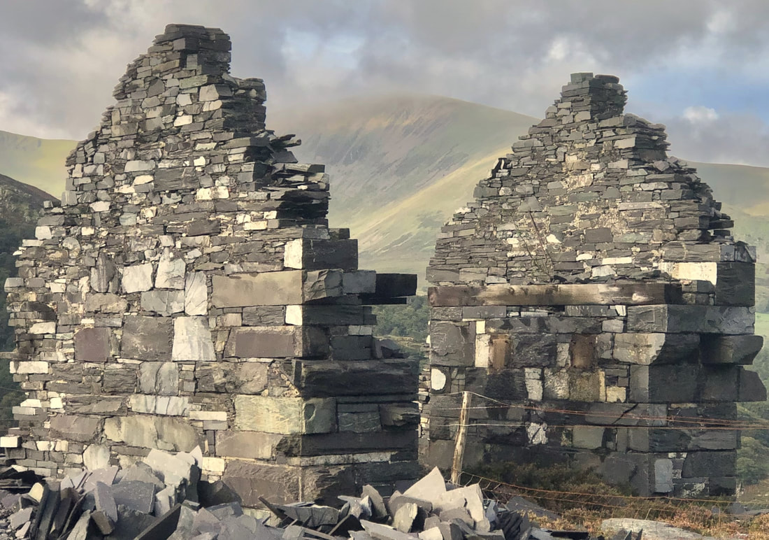
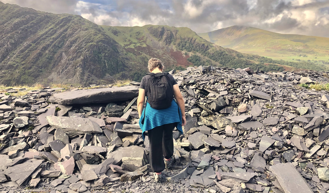
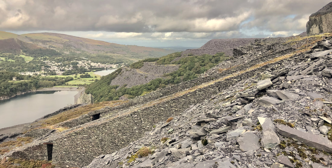
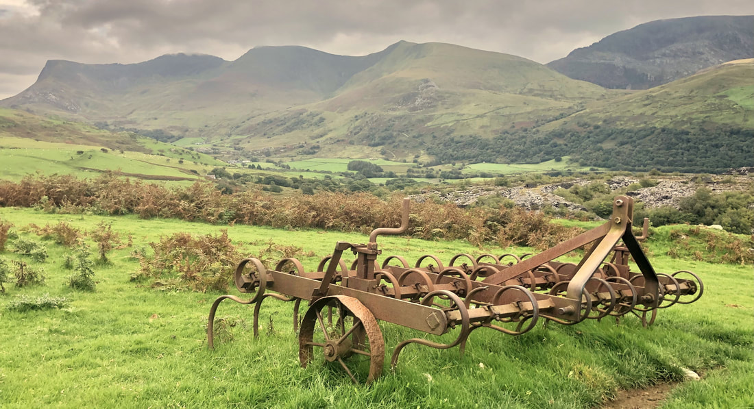
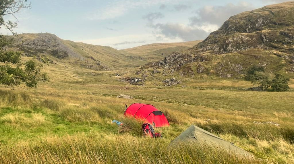
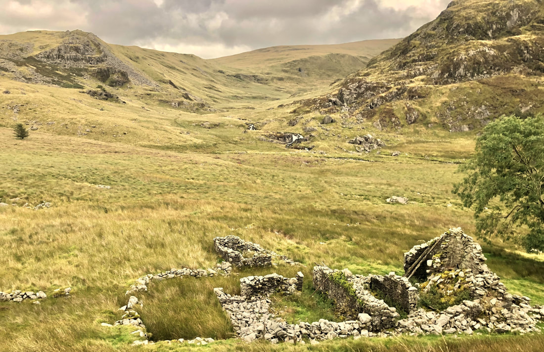
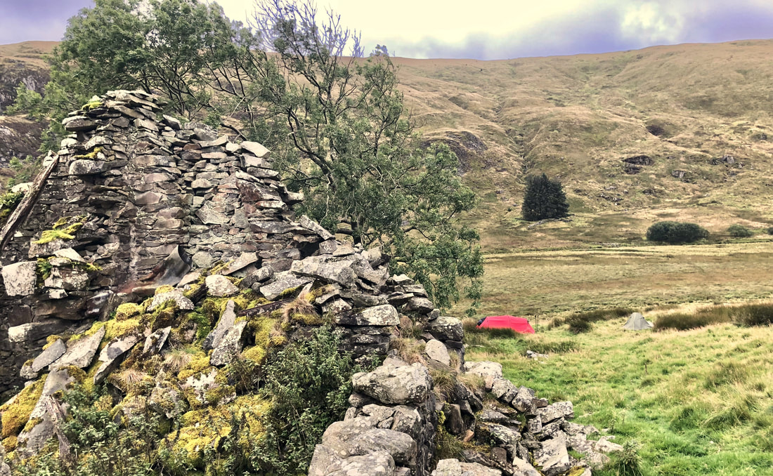
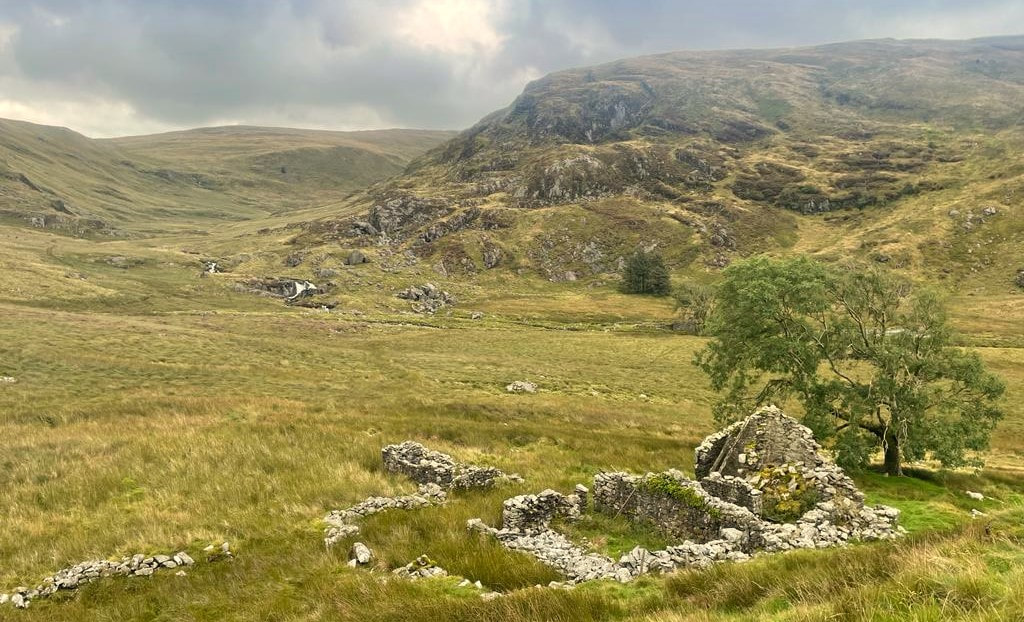
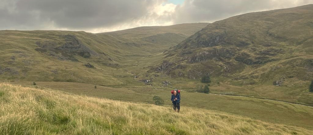
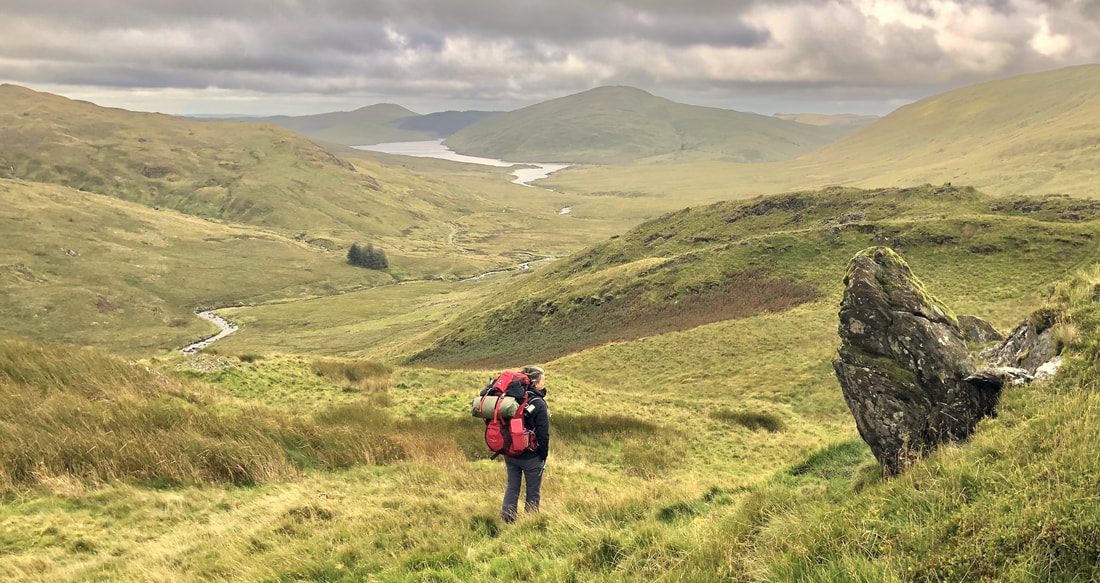
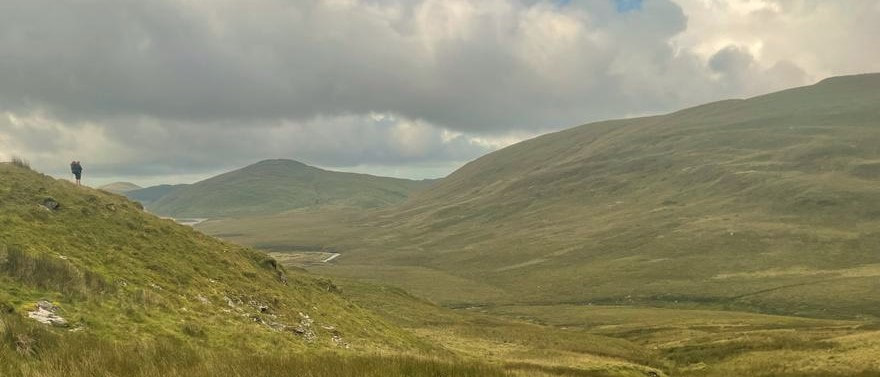
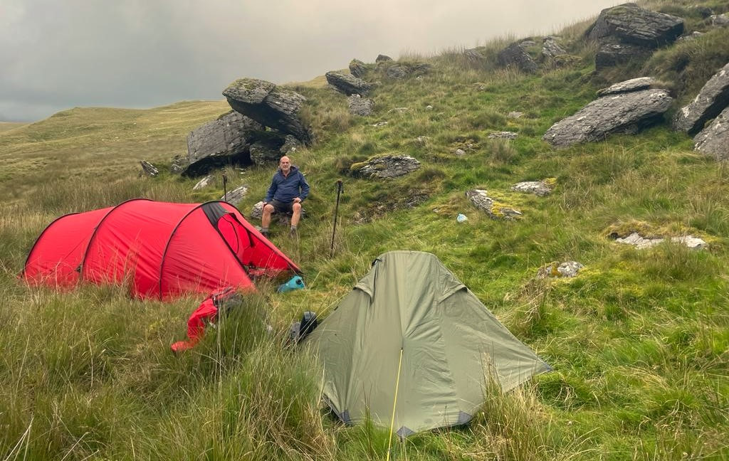
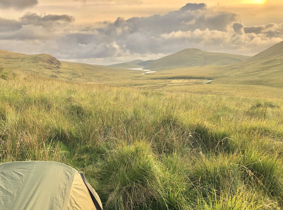
2021 OnwardsFollowing on from retirement, more time will be available for hill and mountain walking on a personal basis with friends. 
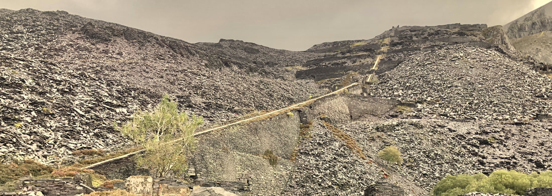
Categories |


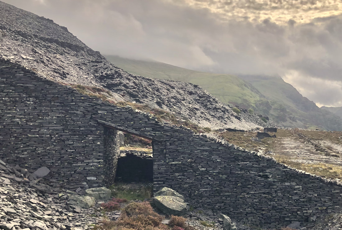


 RSS Feed
